Login

Zapomniałeś swój login?

Cookies have to be accepted!
Your browser's cookie functionality is disabled. Please enable this functionality.

Not a member yet?

Register now
Login

Available for registred users only

Log in to use this feature.

Zapomniałeś swój login?

Cookies have to be accepted!
Your browser's cookie functionality is disabled. Please enable this functionality.

Not a member yet?

Register now
Filter
Kategorie
Advanced filters
  • Długość (km)
  • Wysokość
Zapisz filtr Reset filter

TrackRank

QRCode

Technical data

Długość25,6 km Wysokość503 m Way down490 m Czas trwania03:30 h:m Data25.12.2009
Oceny Author Krajobraz Czynnik zadowolenia Kondycja Technika

Statystyka

602 Widoki Oceny 281 Downloads / Pliki do pobrania Przeciętnie
Rate
  • Karta trasy
  • Dojazd
  • Downloads / Pliki do pobrania

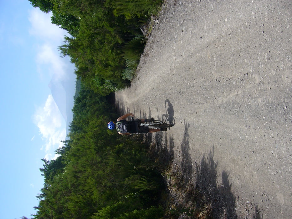
Anspruchsvollere Tour für Anfänger mit sehr abwechslungsreicher Landschaft.

Galeria trasy

Mapa trasy i profil wysokości

  • Open Street Map
  • Google
Minimum height 1066 m Maximum height 1459 m Widok szczegółowy

More about the tour author

melaniedaniel
Member since 2009

Send private message

Komentarze

Von La Orotava aus die TF 21 Richtung Teide fahren,der Einstieg zur Tour liegt beim Parkplatz zum Campingplatz "la Caldera".

GPS tracks

Trackpoints
  • GPX / Garmin Map Source (gpx) download
  • TCX / Garmin Training Center® (tcx) download
  • CRS / Garmin Training Center® (crs) download
  • Google Earth (kml) download
  • G7ToWin (g7t) download
  • TTQV (trk) download
  • Overlay (ovl) download
  • Fugawi (txt) download
  • Kompass (DAV) Track (tk) download
  • Karta trasy (pdf) download
  • Original file of the author (gpx) download

More about the tour author

melaniedaniel
Member since 2009

Send private message
Share track
Add to my favorites
Remove from my favorites
Edit tags
My score
Rate
Trasa: Orotavatal
Rodzaj: Rower górski (MTB)
Długość: 25,6 km
Evaluated on:
Czas trwania:
Day(s)
Hour(s)
Minute(s)
Ocena: Krajobraz Czynnik zadowolenia Kondycja Technika