Login

Zapomniałeś swój login?

Cookies have to be accepted!
Your browser's cookie functionality is disabled. Please enable this functionality.

Not a member yet?

Register now
Login

Available for registred users only

Log in to use this feature.

Zapomniałeś swój login?

Cookies have to be accepted!
Your browser's cookie functionality is disabled. Please enable this functionality.

Not a member yet?

Register now
Filter
Kategorie
Advanced filters
  • Długość (km)
  • Wysokość
Zapisz filtr Reset filter

TrackRank

QRCode

Technical data

Długość8,9 km Wysokość340 m Way down370 m Czas trwania03:00 h:m Data26.12.2009
Oceny Author Krajobraz Czynnik zadowolenia Kondycja Technika

Statystyka

1053 Widoki Oceny 83 Downloads / Pliki do pobrania Przeciętnie
Rate
  • Karta trasy
  • Dojazd
  • Downloads / Pliki do pobrania

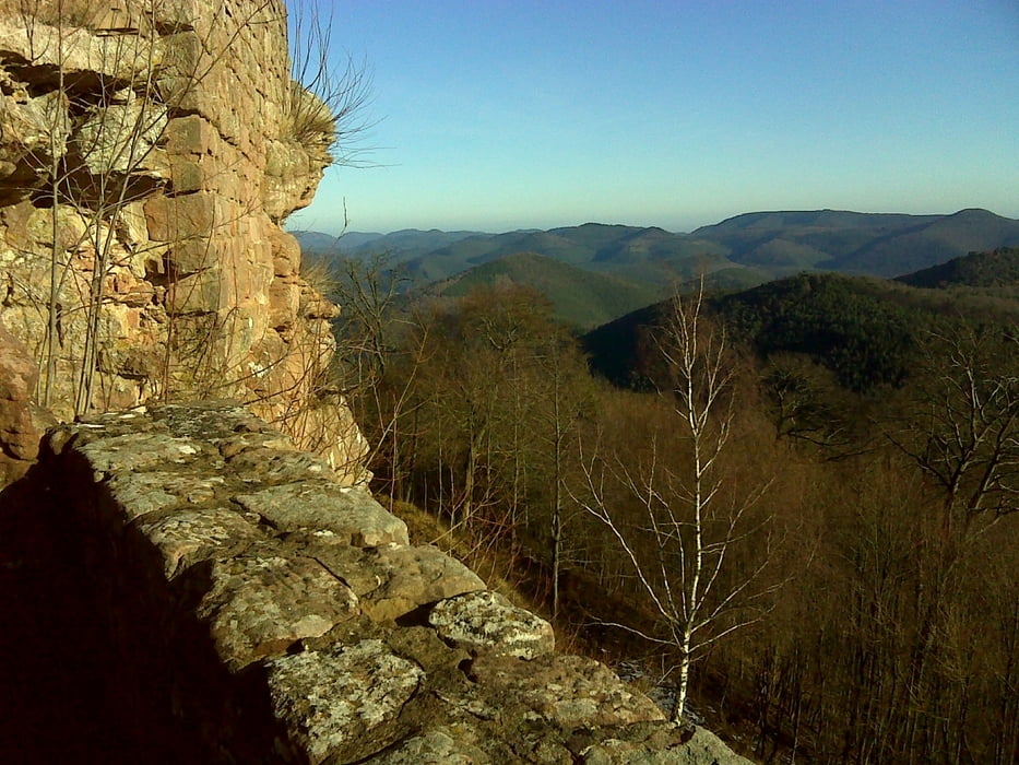
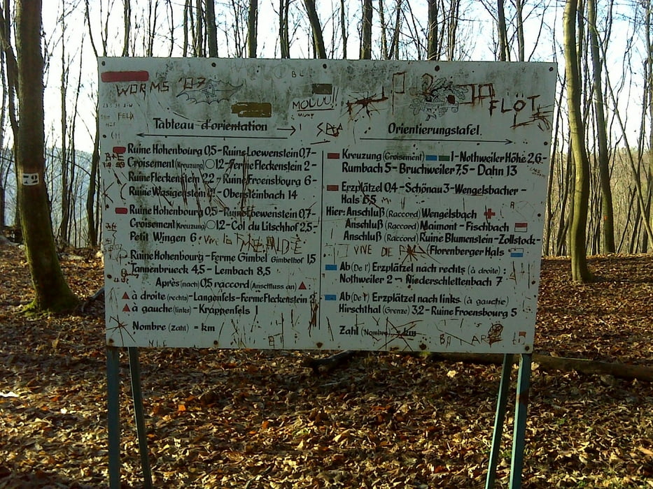
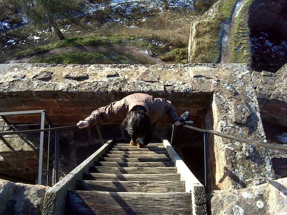
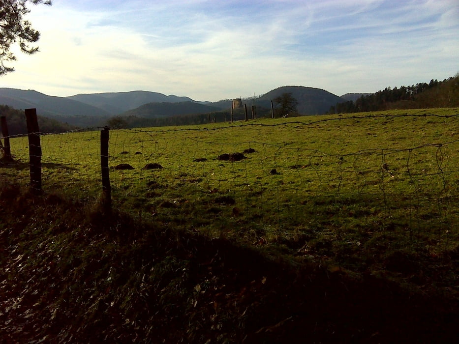
Ausgangspunkt ist der Parkplatz in Nothweiler, Richtung Col du Litchhof, von dort laufen wir zuerst ein Stück zurück Richtung Nothweiler, beim Bauernhof links ab auf Wanderweg 1. Hoch zum Sattel Richtung Schönau, dem Sagenweg folgen. Es gehr dann über 3 Burgen (Wegelnburg, Hohenburg, ..) über die franz. Grenze zum Gimpelhof. Dort gibt es eine gemütliche Einkehr! Zurück geht es auf dem direkten Weg an der Strasse entlang zum Ausgangspunkt.

Galeria trasy

Mapa trasy i profil wysokości

  • Open Street Map
  • Google
Minimum height 274 m Maximum height 576 m Widok szczegółowy

More about the tour author

osram
Member since 2009

Send private message

Komentarze

GPS tracks

Trackpoints
  • GPX / Garmin Map Source (gpx) download
  • TCX / Garmin Training Center® (tcx) download
  • CRS / Garmin Training Center® (crs) download
  • Google Earth (kml) download
  • G7ToWin (g7t) download
  • TTQV (trk) download
  • Overlay (ovl) download
  • Fugawi (txt) download
  • Kompass (DAV) Track (tk) download
  • Karta trasy (pdf) download
  • Original file of the author (gpx) download

More about the tour author

osram
Member since 2009

Send private message
Share track
Add to my favorites
Remove from my favorites
Edit tags
My score
Rate
Trasa: Weihnachtswandeung zum Gimpelhof
Rodzaj: Wędrówki
Długość: 8,9 km
Evaluated on:
Czas trwania:
Day(s)
Hour(s)
Minute(s)
Ocena: Krajobraz Czynnik zadowolenia Kondycja Technika