
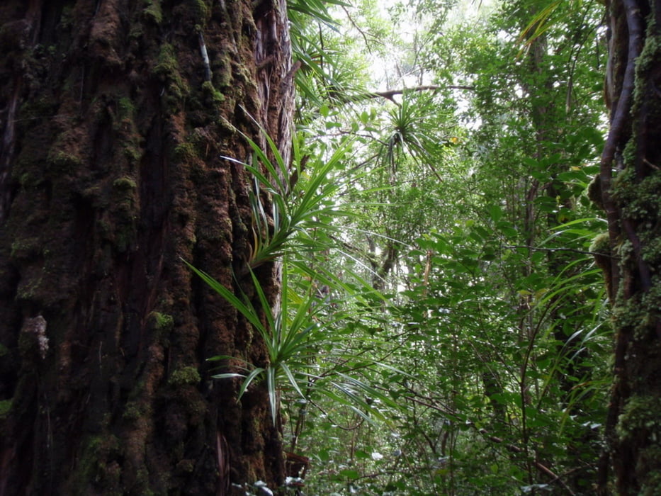

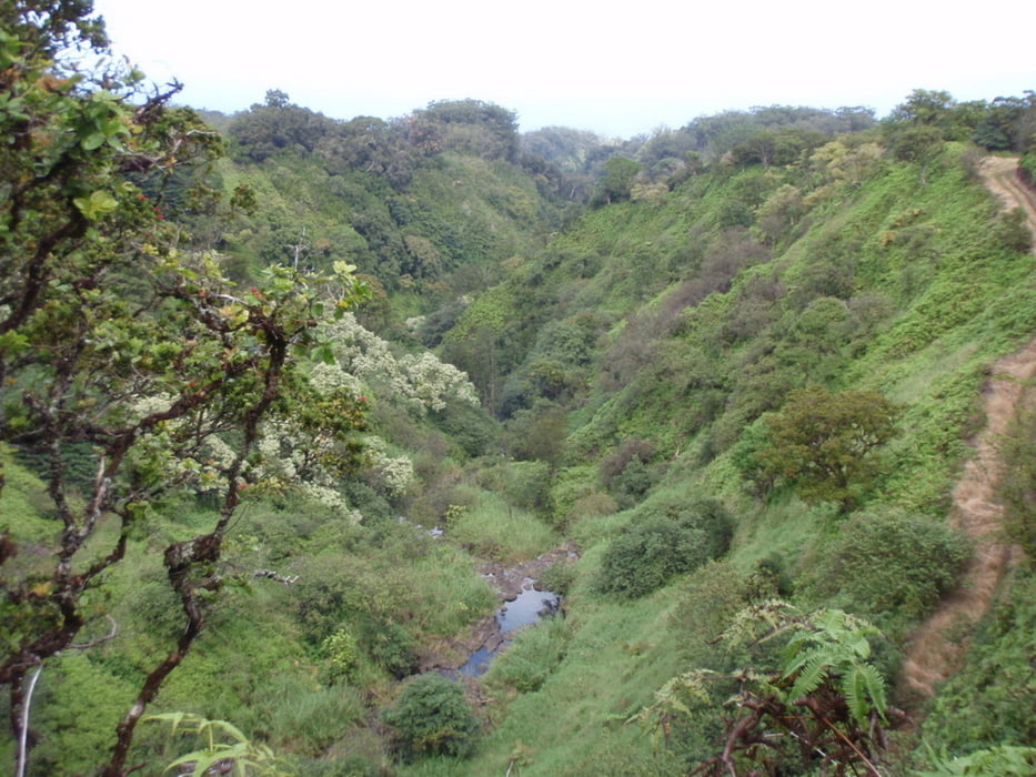
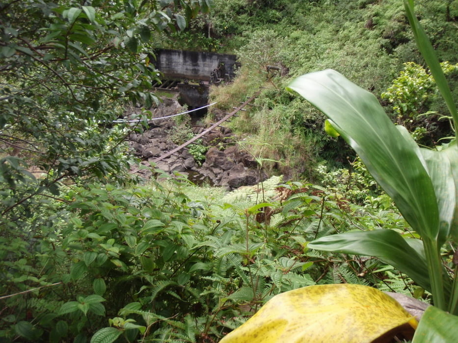
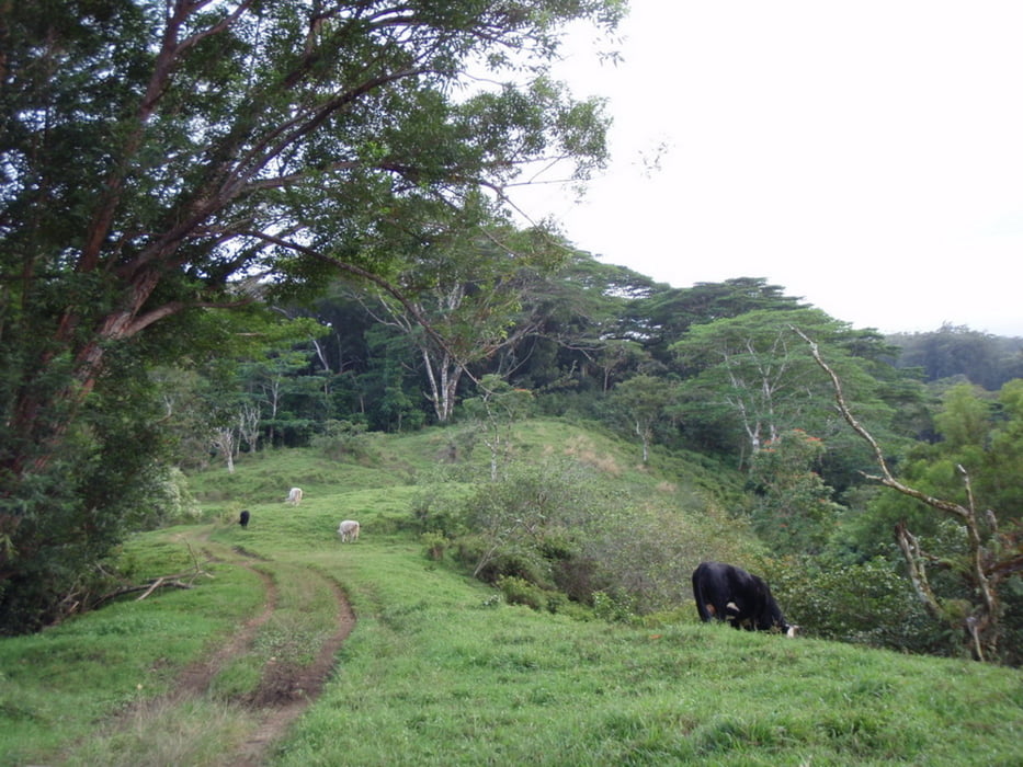
Dies ist eine der sehr seltenen Touren die man auf Maui überhaupt machen kann die etwas länger sind wie eine halbe Stunde. Der Start ist auf dem Hanahwy richtung Hana kurz nach dem 10 Mile Marker ca. 400 meter. Es geht dann gleich steiler eine sogenannte Ditchroad hinauf durch den Wald. Das meiste der Tour verläuft durch Wald auf den Ditchroads(Karrenwege)mit öfters schönen Ausblicken in die Schluchten bis aufs Meer, zurück gehts dann die letzten Meilen auf dem Hwy.bis zum Auto.
Galeria trasy

Mapa trasy i profil wysokości
Minimum height 127 m
Maximum height 425 m
More about the tour author
|
|
Hassor |
Komentarze

Der Start ist auf dem Hanahwy richtung Hana kurz nach dem 10 Mile Marker ca. 400 meter. Auch Parkmöglichkeit.
GPS tracks
Trackpoints-
GPX / Garmin Map Source (gpx) download
-
TCX / Garmin Training Center® (tcx) download
-
CRS / Garmin Training Center® (crs) download
-
Google Earth (kml) download
-
G7ToWin (g7t) download
-
TTQV (trk) download
-
Overlay (ovl) download
-
Fugawi (txt) download
-
Kompass (DAV) Track (tk) download
-
Karta trasy (pdf) download
-
Original file of the author (gpx) download
More about the tour author
|
|
Hassor |
Add to my favorites
Remove from my favorites
Edit tags
Open track
My score
Rate