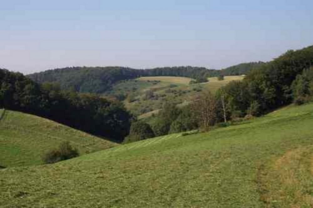
Diese Tour versteht sich als Anschlusstour an Heidelberg>Waldmichelbach oder Heidelberg>Kreidacher Höhe, als Option zur Busfahrt nach Weinheim.
Kann aber auch umgekehrt Von Weihnheim nach Kreidacher Höhe etc verwendet werden
Von der Kreidacher Höhe Richtung ca 15km, ca 200hm, ca 3Std Gehzeit Siedelsbrunn>Abtsteinach>Löhrbach>Buchklingen>Wachenburg>Ruine Windeck>Weinheim
Einkehrmöglichkeiten am Marktplatz in Weinheim:
Tip: Italiener La Cantina oder Weinhaus Puppel
Galeria trasy
Mapa trasy i profil wysokości
Minimum height 120 m
Maximum height 513 m
Komentarze

GPS tracks
Trackpoints-
GPX / Garmin Map Source (gpx) download
-
TCX / Garmin Training Center® (tcx) download
-
CRS / Garmin Training Center® (crs) download
-
Google Earth (kml) download
-
G7ToWin (g7t) download
-
TTQV (trk) download
-
Overlay (ovl) download
-
Fugawi (txt) download
-
Kompass (DAV) Track (tk) download
-
Karta trasy (pdf) download
-
Original file of the author (gpx) download
Add to my favorites
Remove from my favorites
Edit tags
Open track
My score
Rate


