Login

Zapomniałeś swój login?

Cookies have to be accepted!
Your browser's cookie functionality is disabled. Please enable this functionality.

Not a member yet?

Register now
Login

Available for registred users only

Log in to use this feature.

Zapomniałeś swój login?

Cookies have to be accepted!
Your browser's cookie functionality is disabled. Please enable this functionality.

Not a member yet?

Register now
Filter
Kategorie
Advanced filters
  • Długość (km)
  • Wysokość
Zapisz filtr Reset filter

TrackRank

QRCode

Technical data

Długość414,8 km Wysokość14996 m Way down16215 m Czas trwania00:00 h:m Data07.01.2010
Oceny Author Krajobraz Czynnik zadowolenia Kondycja Technika

Statystyka

1905 Widoki Oceny 205 Downloads / Pliki do pobrania Przeciętnie
Rate
  • Karta trasy
  • Dojazd
  • Downloads / Pliki do pobrania

Herrlicher Alpencross der auch für Einsteiger geeignet ist.

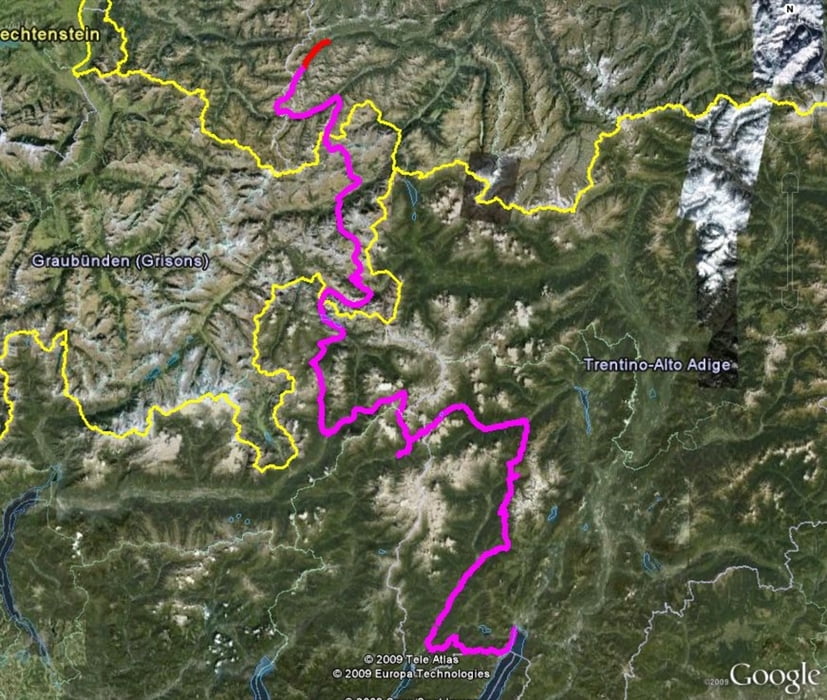
Start der Tour ist St. Anton das gut mit öffentlichen Verkehrsmittel zu erreichen ist

1. Tag Zum Eingewöhnen der perfekte Start von St.Anton zur Konstanzer Hütte

2. Tag  Konstanzer Hütte zur Heidelberger Hütte

3.  Tag Heidelberger Hütte nach Lü über  den Fimbapass und  Pass Da Costainas nach Lü

4. Tag Lü nach Grosio

5. Tag Grosio Ponte di Legnio

6. Tag Ponte di Legnio nach Dimaro

7. Tag Dimaro Grosio

8. Tag Grosio Riva

Further information at

http://www.alpencrosstouren.info/

Mapa trasy i profil wysokości

  • Open Street Map
  • Google
Minimum height 73 m Maximum height 2620 m Widok szczegółowy

More about the tour author

Schwabe
Member since 2007

Send private message

Komentarze

GPS tracks

Trackpoints
  • GPX / Garmin Map Source (gpx) download
  • TCX / Garmin Training Center® (tcx) download
  • CRS / Garmin Training Center® (crs) download
  • Google Earth (kml) download
  • G7ToWin (g7t) download
  • TTQV (trk) download
  • Overlay (ovl) download
  • Fugawi (txt) download
  • Kompass (DAV) Track (tk) download
  • Karta trasy (pdf) download
  • Original file of the author (gpx) download

More about the tour author

Schwabe
Member since 2007

Send private message
Share track
Add to my favorites
Remove from my favorites
Edit tags
My score
Rate
Trasa: Alpencross 2007 St.Anton-Riva
Rodzaj: Transalp
Długość: 414,8 km
Evaluated on:
Czas trwania:
Day(s)
Hour(s)
Minute(s)
Ocena: Krajobraz Czynnik zadowolenia Kondycja Technika