Login

Zapomniałeś swój login?

Cookies have to be accepted!
Your browser's cookie functionality is disabled. Please enable this functionality.

Not a member yet?

Register now
Login

Available for registred users only

Log in to use this feature.

Zapomniałeś swój login?

Cookies have to be accepted!
Your browser's cookie functionality is disabled. Please enable this functionality.

Not a member yet?

Register now
Filter
Kategorie
Advanced filters
  • Długość (km)
  • Wysokość
Zapisz filtr Reset filter

TrackRank

QRCode

Technical data

Długość18,1 km Wysokość1162 m Way down995 m Czas trwania06:00 h:m Data07.01.2010
Oceny Author Krajobraz Czynnik zadowolenia Kondycja Technika

Statystyka

756 Widoki Oceny 49 Downloads / Pliki do pobrania Przeciętnie
Rate
  • Karta trasy
  • Dojazd
  • Downloads / Pliki do pobrania

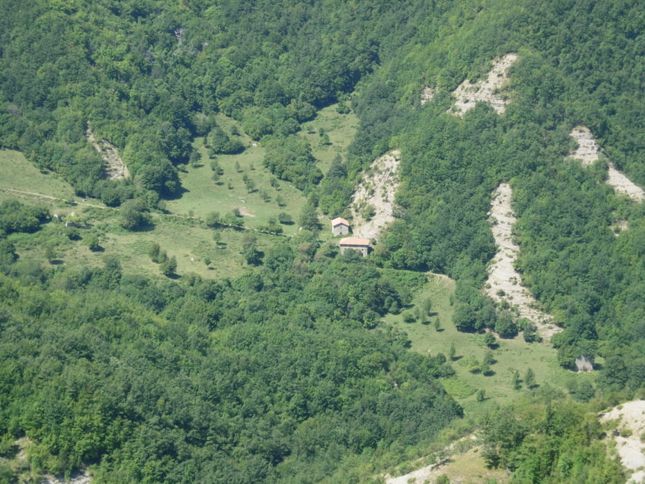
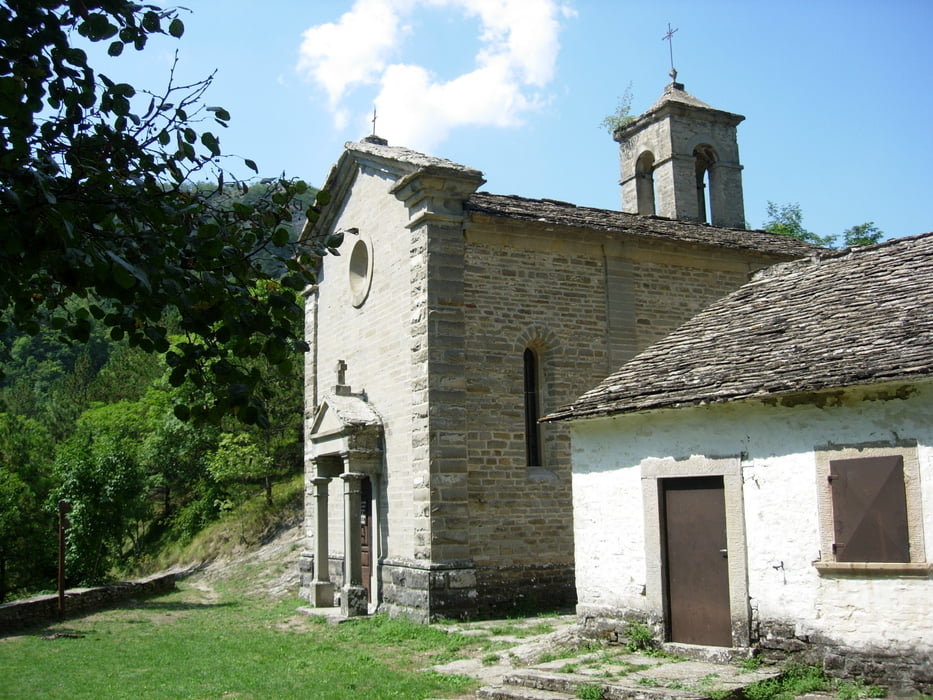
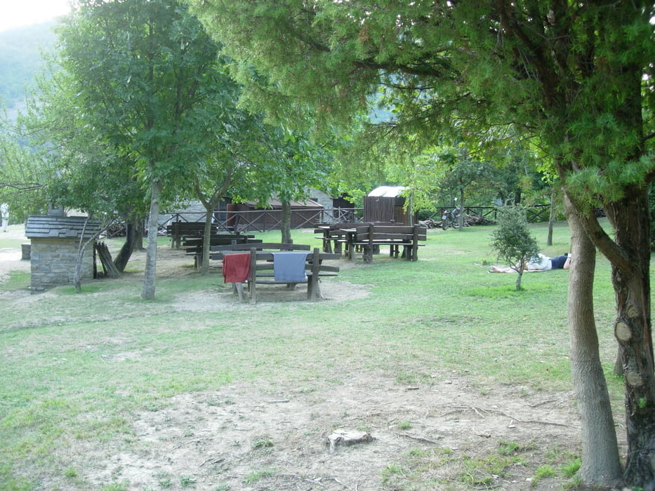
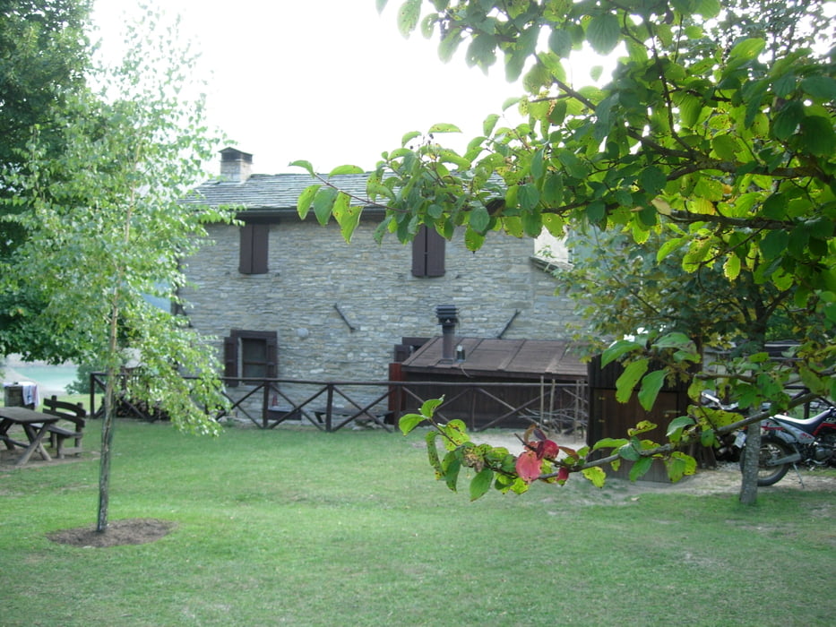
Itinerario che porta a conoscere il parco nazionale delle foreste casentinesi, belle vedute sul versante romagnolo e attraversamento di boschi intatti. Si può dormire e cenare al rifugio ca' di sopra, telefonare per assicurarsi della disponibilità di posti letto.

Galeria trasy

Mapa trasy i profil wysokości

  • Open Street Map
  • Google
Minimum height 449 m Maximum height 1021 m Widok szczegółowy

More about the tour author

lucianodel
Member since 2009

Send private message

Komentarze

Da Cesena o da Roma percorrere la superstrada E/45 e uscire a Bagno di romagna, lì c'é un bel parcheggio gratuito.

GPS tracks

Trackpoints
  • GPX / Garmin Map Source (gpx) download
  • TCX / Garmin Training Center® (tcx) download
  • CRS / Garmin Training Center® (crs) download
  • Google Earth (kml) download
  • G7ToWin (g7t) download
  • TTQV (trk) download
  • Overlay (ovl) download
  • Fugawi (txt) download
  • Kompass (DAV) Track (tk) download
  • Karta trasy (pdf) download
  • Original file of the author (gpx) download

More about the tour author

lucianodel
Member since 2009

Send private message
Share track
Add to my favorites
Remove from my favorites
Edit tags
My score
Rate
Trasa: Bagno di Romagna- rifugio ca' di sopra
Rodzaj: Wędrówki
Długość: 18,1 km
Evaluated on:
Czas trwania:
Day(s)
Hour(s)
Minute(s)
Ocena: Krajobraz Czynnik zadowolenia Kondycja Technika