Login

Zapomniałeś swój login?

Cookies have to be accepted!
Your browser's cookie functionality is disabled. Please enable this functionality.

Not a member yet?

Register now
Login

Available for registred users only

Log in to use this feature.

Zapomniałeś swój login?

Cookies have to be accepted!
Your browser's cookie functionality is disabled. Please enable this functionality.

Not a member yet?

Register now
Filter
Kategorie
Advanced filters
  • Długość (km)
  • Wysokość
Zapisz filtr Reset filter

TrackRank

QRCode

Technical data

Długość73,2 km Wysokość1523 m Way down1535 m Czas trwania00:00 h:m Data17.01.2010
Oceny Author User Krajobraz Czynnik zadowolenia Kondycja Technika

Statystyka

2220 Widoki 2 Oceny 184 Downloads / Pliki do pobrania 4.00 Przeciętnie
Rate
  • Karta trasy
  • Dojazd
  • Downloads / Pliki do pobrania

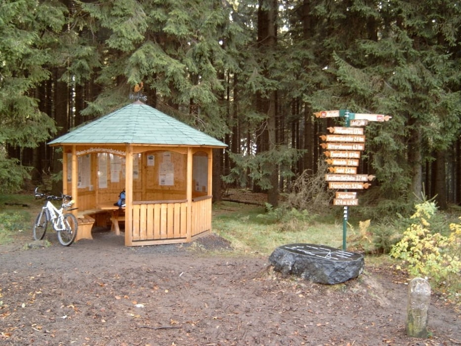
Rundweg um die Stadt Netphen.

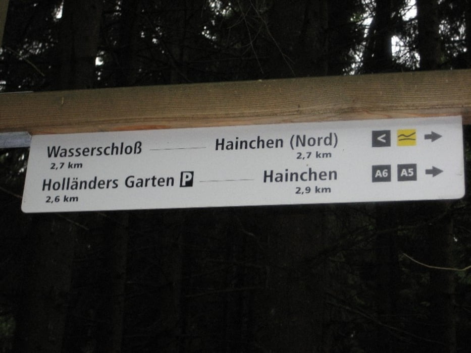
Der Wanderweg ist gut mit Wanderzeichen ausgeschildert.


Further information at

http://www.fewo-kraemer.de

Galeria trasy

Mapa trasy i profil wysokości

  • Open Street Map
  • Google
Minimum height 269 m Maximum height 672 m Widok szczegółowy

More about the tour author

hirtemann

Komentarze

A45 Ausfahrt Wilnsdorf / Richtung Wilnsdorf-Rudersdorf-Hainchen. In Hainchen hinter dem Gasthof /Pizzeria links Richtung Wanderparkplatz abbiegen

GPS tracks

Trackpoints
  • GPX / Garmin Map Source (gpx) download
  • TCX / Garmin Training Center® (tcx) download
  • CRS / Garmin Training Center® (crs) download
  • Google Earth (kml) download
  • G7ToWin (g7t) download
  • TTQV (trk) download
  • Overlay (ovl) download
  • Fugawi (txt) download
  • Kompass (DAV) Track (tk) download
  • Karta trasy (pdf) download
  • Original file of the author (gpx) download

More about the tour author

hirtemann

Share track
Add to my favorites
Remove from my favorites
Edit tags
My score
Rate
Trasa: Netphener-Rundweg
Rodzaj: Rower górski (MTB)
Długość: 73,2 km
Evaluated on:
Czas trwania:
Day(s)
Hour(s)
Minute(s)
Ocena: Krajobraz Czynnik zadowolenia Kondycja Technika