
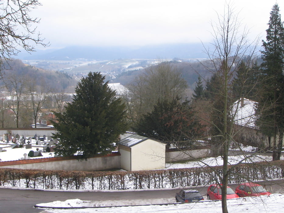

Start und Ziel: Parkplatz beim Kapuzinerkloster/Friedhof Stühlingen
Kurzbeschreibung: Rundweg, bestehend aus Waldwegen und Pfaden.
Sehenswürdigkeit: Kapuzinerkloster Stühlingen
Stätte zum Innehalten: Klosterkirche
http://www.uni-protokolle.de/Lexikon/St%FChlingen.html
http://www.stuehlingen.de/index.php4?n=1
http://www.kapuziner.org/rwprov/stuehlingen/index.php
Dem Weg bergauf Richtung Wasserwerk Rieß folgen. Weiter den Hinweisen gelbe Raute, Muhrleallee, Zankforleweg bis zur Elisabethenruhe nachgehen. Dort bergab dem Schlauchweg bis zur Abzweigung Lehenhalde und dieser wieder zum Parkplatz folgen.
Further information at
http://www.stuehlingen.de/index.php4?n=1Mapa trasy i profil wysokości
Minimum height 514 m
Maximum height 680 m
More about the tour author
|
|
Domflo |
Komentarze

Vom Dorf (Talsohle) den Stadtweg Richtung Schloss fahrend wird linker Hand das Rathaus mit Stadtbrunnen und rechts das Gasthaus Rebstock passiert. Etwa 50m nach dem Rathaus rechts in den Loretoweg Richtung Krankenhaus/Kapuzinerkloster abbiegen. Nach weiteren 400m ist der Parkplatz erreicht.
GPS tracks
Trackpoints-
GPX / Garmin Map Source (gpx) download
-
TCX / Garmin Training Center® (tcx) download
-
CRS / Garmin Training Center® (crs) download
-
Google Earth (kml) download
-
G7ToWin (g7t) download
-
TTQV (trk) download
-
Overlay (ovl) download
-
Fugawi (txt) download
-
Kompass (DAV) Track (tk) download
-
Karta trasy (pdf) download
-
Original file of the author (gpx) download
More about the tour author
|
|
Domflo |
Add to my favorites
Remove from my favorites
Edit tags
Open track
My score
Rate