


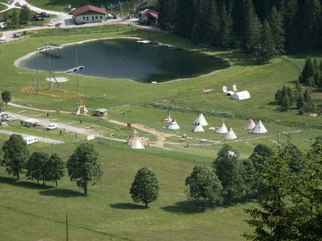
Die Tour Startet bei der Jägerrast in Ramsau Schildlehen.Von dort über die Brücke und dann Links.
Einzelne Punkte der Tour Tenne,Maut der Dachsteinstrasse,Dachsteinruhe,Parkplatz Bachelalm,Neustadtalm,Glössalm,Dachsteinhaus,Jägerrast.
Einzelne Punkte der Tour Tenne,Maut der Dachsteinstrasse,Dachsteinruhe,Parkplatz Bachelalm,Neustadtalm,Glössalm,Dachsteinhaus,Jägerrast.
Further information at
http://members.aon.at/jaegerrast/Galeria trasy
Mapa trasy i profil wysokości
Minimum height 1123 m
Maximum height 1558 m
More about the tour author

|
Rüdiger 60 |
Komentarze

Von Salzburg die A10 Richtung Graz bis Eben im Pongau nun Richtung Filzmoos , Ramsau am Dachstein
GPS tracks
Trackpoints-
GPX / Garmin Map Source (gpx) download
-
TCX / Garmin Training Center® (tcx) download
-
CRS / Garmin Training Center® (crs) download
-
Google Earth (kml) download
-
G7ToWin (g7t) download
-
TTQV (trk) download
-
Overlay (ovl) download
-
Fugawi (txt) download
-
Kompass (DAV) Track (tk) download
-
Karta trasy (pdf) download
-
Original file of the author (gpx) download
More about the tour author
|
|
Rüdiger 60 |
Add to my favorites
Remove from my favorites
Edit tags
Open track
My score
Rate