Login

Zapomniałeś swój login?

Cookies have to be accepted!
Your browser's cookie functionality is disabled. Please enable this functionality.

Not a member yet?

Register now
Login

Available for registred users only

Log in to use this feature.

Zapomniałeś swój login?

Cookies have to be accepted!
Your browser's cookie functionality is disabled. Please enable this functionality.

Not a member yet?

Register now
Filter
Kategorie
Advanced filters
  • Długość (km)
  • Wysokość
Zapisz filtr Reset filter

TrackRank

QRCode

Technical data

Długość283,3 km Wysokość1447 m Way down1098 m Czas trwania03:30 h:m Data25.01.2010
Oceny Author Krajobraz Czynnik zadowolenia Kondycja Technika

Statystyka

919 Widoki Oceny 63 Downloads / Pliki do pobrania Przeciętnie
Rate
  • Karta trasy
  • Dojazd
  • Downloads / Pliki do pobrania

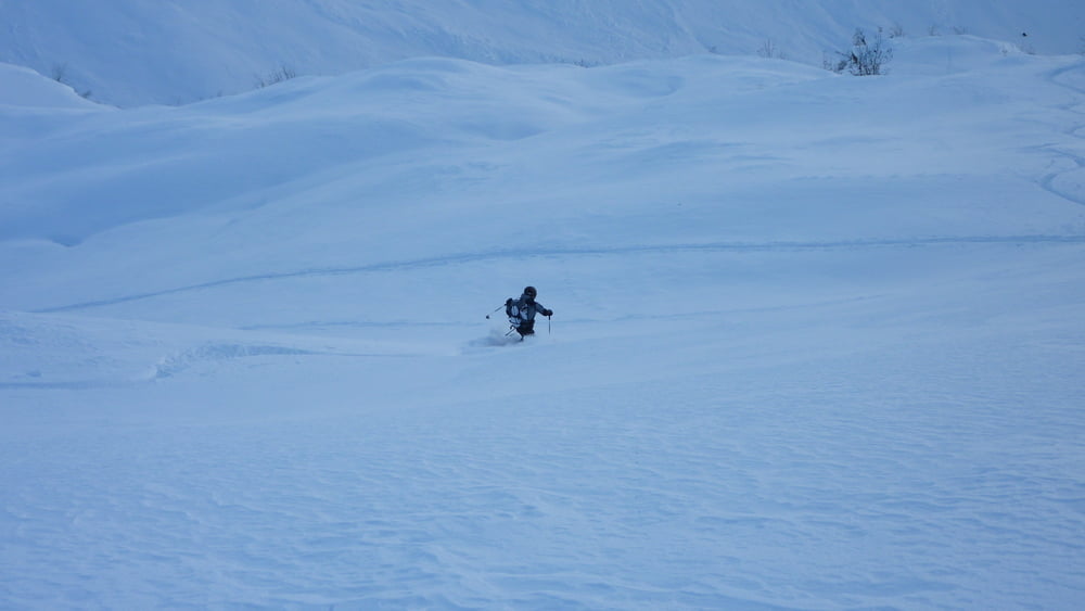
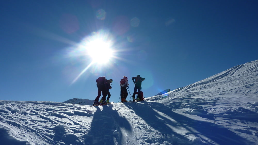
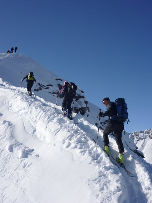
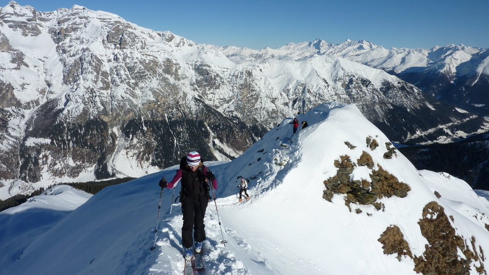
Vom Parkplatz aus auf der Rodelbahn hoch zur Allrissalm. Der Aufstiegsspur in den Wald hinein folgen und dann am freien Hang bis zum Gipfel eine schöne Aussicht erleben. Der kurze, schmale Gipfelgrad geht für geübte mit Ski, ansonsten lieber abschnallen.

Galeria trasy

Mapa trasy i profil wysokości

  • Open Street Map
  • Google
Minimum height 922 m Maximum height 2369 m Widok szczegółowy

More about the tour author

Blatterter
Member since 2009

Send private message

Komentarze

Erlanger on 18.01.2013

Track nicht sauber

Der Track beginnt am Arber im Bayerischen Wald :-)

 Von Gossensass ins Pflerschertal, vor Innerpflerscher Kirche links über Brücke zum Parkplatz

GPS tracks

Trackpoints
  • GPX / Garmin Map Source (gpx) download
  • TCX / Garmin Training Center® (tcx) download
  • CRS / Garmin Training Center® (crs) download
  • Google Earth (kml) download
  • G7ToWin (g7t) download
  • TTQV (trk) download
  • Overlay (ovl) download
  • Fugawi (txt) download
  • Kompass (DAV) Track (tk) download
  • Karta trasy (pdf) download
  • Original file of the author (gpx) download

More about the tour author

Blatterter
Member since 2009

Send private message
Share track
Add to my favorites
Remove from my favorites
Edit tags
My score
Rate
Trasa: Bodnerberg in Pflersch - Sterzing (Gossensass)
Rodzaj: Narty
Długość: 283,3 km
Evaluated on:
Czas trwania:
Day(s)
Hour(s)
Minute(s)
Ocena: Krajobraz Czynnik zadowolenia Kondycja Technika