


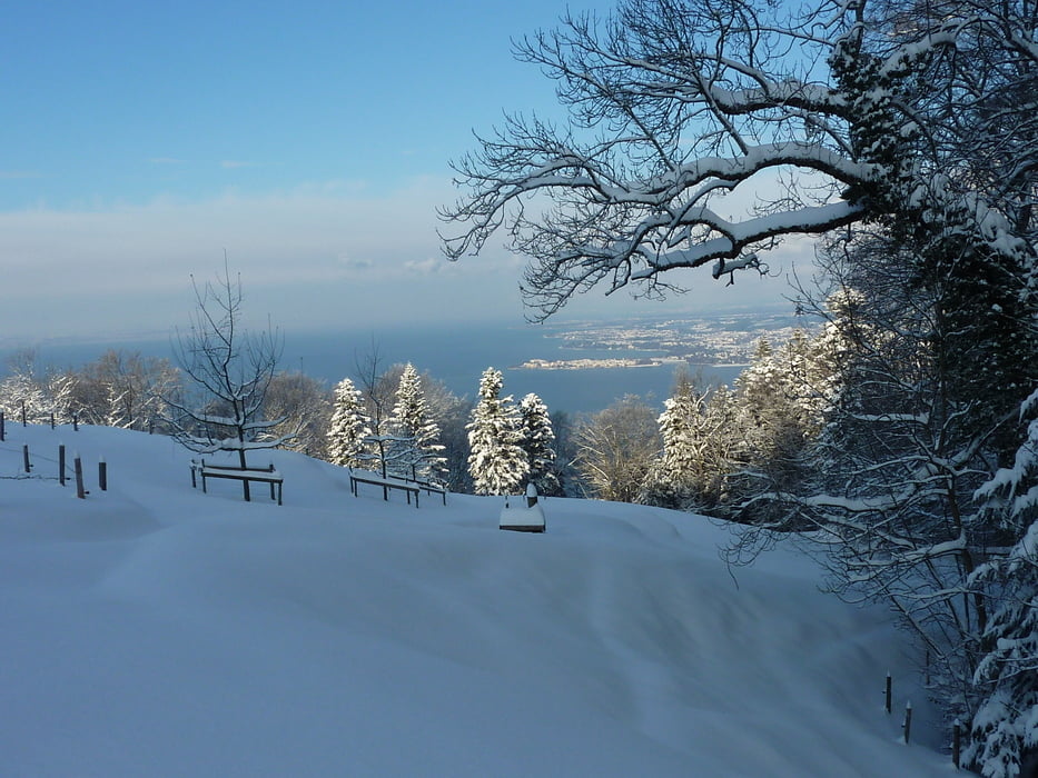
Wunderschöne Panorama-Tour, wenn es mal Schnee bis zum Bodensee gibt.
Die Tour beginnt bei Lochau, und geht bis zum Pfänder-Gipfel. Von dort hat man die Möglichkeit auf gut präparierter Piste bis zur Talstation der Pfänderbahn abzufahren. Die Bergfahrt zum Pfänder kostet aktuell 5.20€. Wer möchte kann natürlich auch wieder mit den Skiern aufsteigen.Bei der aufgezeichneten Tour habe ich mir das allerdings erspart.
Anschliessend gibt es eine weitere Panorama-Abfahrt, Richtung Lochau.
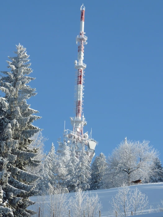
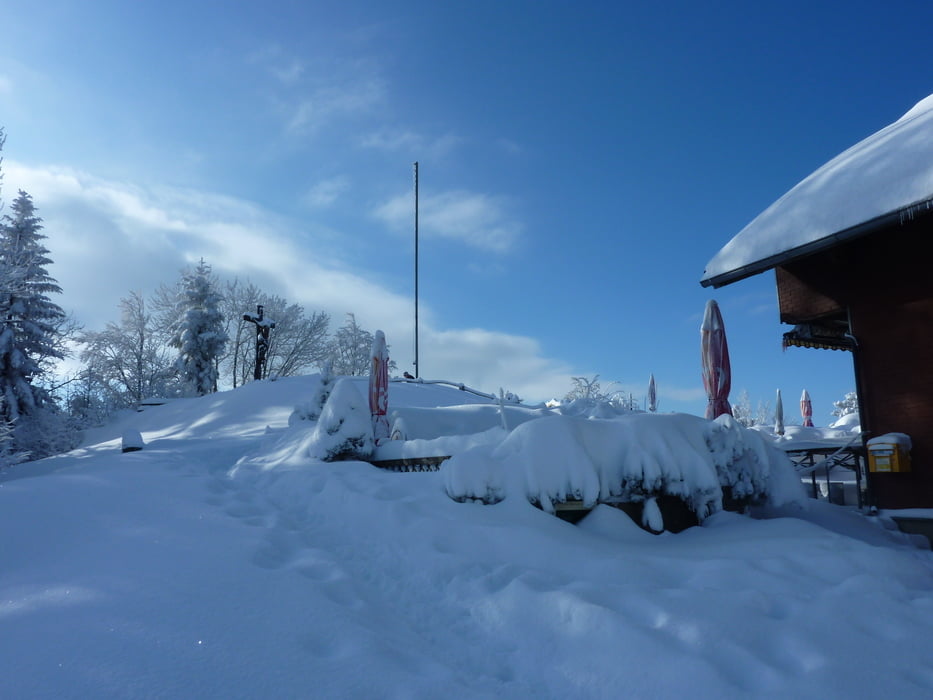
Einkehrmöglichkeiten, am Pfänderspitz oder im Berggasthof Fritsch.
Galeria trasy
Mapa trasy i profil wysokości
Minimum height 382 m
Maximum height 1109 m
More about the tour author
|
|
erwin58 |
Komentarze

A96 Richtung Pfändertunnel, Ausfahrt Hörbranz / Lochau unmittelbar vor dem Tunnel. dann etwa 800 m Richtung Bregenz. Am Wochenende kan man hinter der Polizei im Schulhof kostenlos parken. Von dort folgt man etwa 300 m zu Fuß der Hauptstraße, dann geht man nochmal etwa 300 m links bergauf, die Straße heisst im Stein.
GPS tracks
Trackpoints-
GPX / Garmin Map Source (gpx) download
-
TCX / Garmin Training Center® (tcx) download
-
CRS / Garmin Training Center® (crs) download
-
Google Earth (kml) download
-
G7ToWin (g7t) download
-
TTQV (trk) download
-
Overlay (ovl) download
-
Fugawi (txt) download
-
Kompass (DAV) Track (tk) download
-
Karta trasy (pdf) download
-
Original file of the author (gpx) download
More about the tour author
|
|
erwin58 |
Add to my favorites
Remove from my favorites
Edit tags
Open track
My score
Rate