Login

Zapomniałeś swój login?

Cookies have to be accepted!
Your browser's cookie functionality is disabled. Please enable this functionality.

Not a member yet?

Register now
Login

Available for registred users only

Log in to use this feature.

Zapomniałeś swój login?

Cookies have to be accepted!
Your browser's cookie functionality is disabled. Please enable this functionality.

Not a member yet?

Register now
Filter
Kategorie
Advanced filters
  • Długość (km)
  • Wysokość
Zapisz filtr Reset filter

TrackRank

QRCode

Technical data

Długość12,4 km Wysokość1150 m Way down1058 m Czas trwania04:15 h:m Data02.02.2010
Oceny Author Krajobraz Czynnik zadowolenia Kondycja Technika

Statystyka

467 Widoki Oceny 49 Downloads / Pliki do pobrania Przeciętnie
Rate
  • Karta trasy
  • Dojazd
  • Downloads / Pliki do pobrania

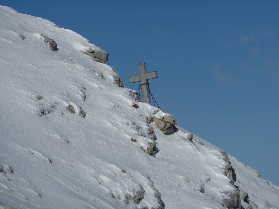
Aufstieg: 3 Stunden 15 Minuten

Abfahrt: 1 Stunde

Beschreibung folgt...

Galeria trasy

Mapa trasy i profil wysokości

  • Open Street Map
  • Google
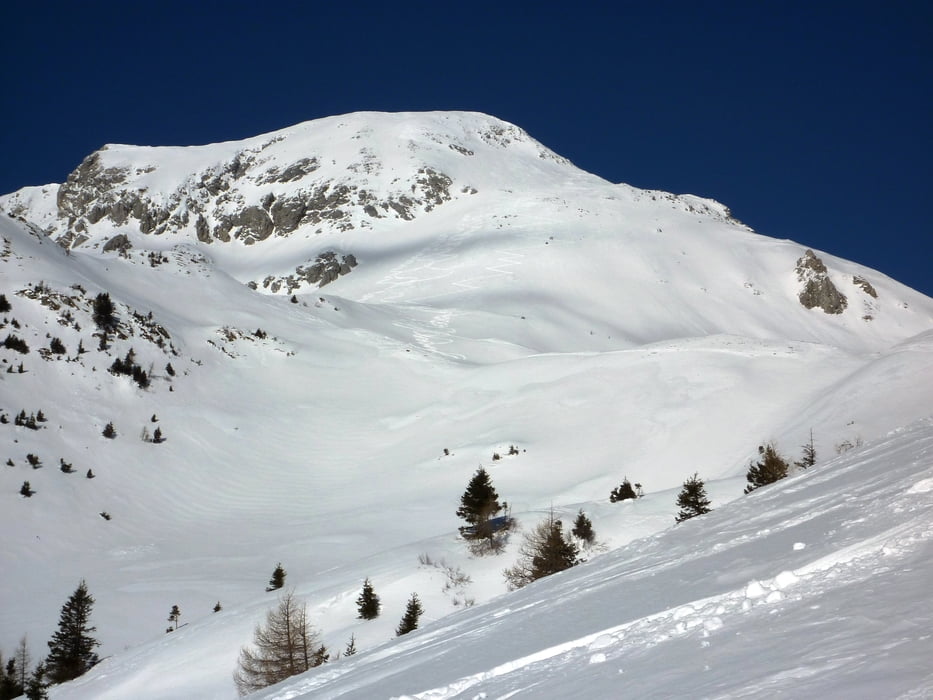
Minimum height 1214 m Maximum height 2308 m Widok szczegółowy

More about the tour author

harald07071
Member since 2008

Send private message

Komentarze

Kötschach-Mauthen erreicht man über die Autobahn A 2, Ausfahrt Arnoldstein und weiter über Hermagor auf der Bundesstraße B 111 oder aus dem Raum Lienz von Oberdrauburg auf der Bundesstraße B 110 über den Gailbergsattel.

Von Kötschach-Mauthen fährt man auf der B 110 weiter in Richtung Plöckenpass bis zum Gasthaus Plöckenhaus.
 

GPS tracks

Trackpoints
  • GPX / Garmin Map Source (gpx) download
  • TCX / Garmin Training Center® (tcx) download
  • CRS / Garmin Training Center® (crs) download
  • Google Earth (kml) download
  • G7ToWin (g7t) download
  • TTQV (trk) download
  • Overlay (ovl) download
  • Fugawi (txt) download
  • Kompass (DAV) Track (tk) download
  • Karta trasy (pdf) download
  • Original file of the author (gpx) download

More about the tour author

harald07071
Member since 2008

Send private message
Share track
Add to my favorites
Remove from my favorites
Edit tags
My score
Rate
Trasa: Polinik (2332m)
Rodzaj: Narty
Długość: 12,4 km
Evaluated on:
Czas trwania:
Day(s)
Hour(s)
Minute(s)
Ocena: Krajobraz Czynnik zadowolenia Kondycja Technika