Login

Zapomniałeś swój login?

Cookies have to be accepted!
Your browser's cookie functionality is disabled. Please enable this functionality.

Not a member yet?

Register now
Login

Available for registred users only

Log in to use this feature.

Zapomniałeś swój login?

Cookies have to be accepted!
Your browser's cookie functionality is disabled. Please enable this functionality.

Not a member yet?

Register now
Filter
Kategorie
Advanced filters
  • Długość (km)
  • Wysokość
Zapisz filtr Reset filter

TrackRank

QRCode

Technical data

Długość8,6 km Wysokość498 m Way down505 m Czas trwania03:00 h:m Data01.03.2010
Oceny Author Krajobraz Czynnik zadowolenia Kondycja Technika

Statystyka

770 Widoki Oceny 31 Downloads / Pliki do pobrania Przeciętnie
Rate
  • Karta trasy
  • Dojazd
  • Downloads / Pliki do pobrania

Vom Parkplatz unterhalb des Wildparks ca. 1,5 Stunden

Further information at

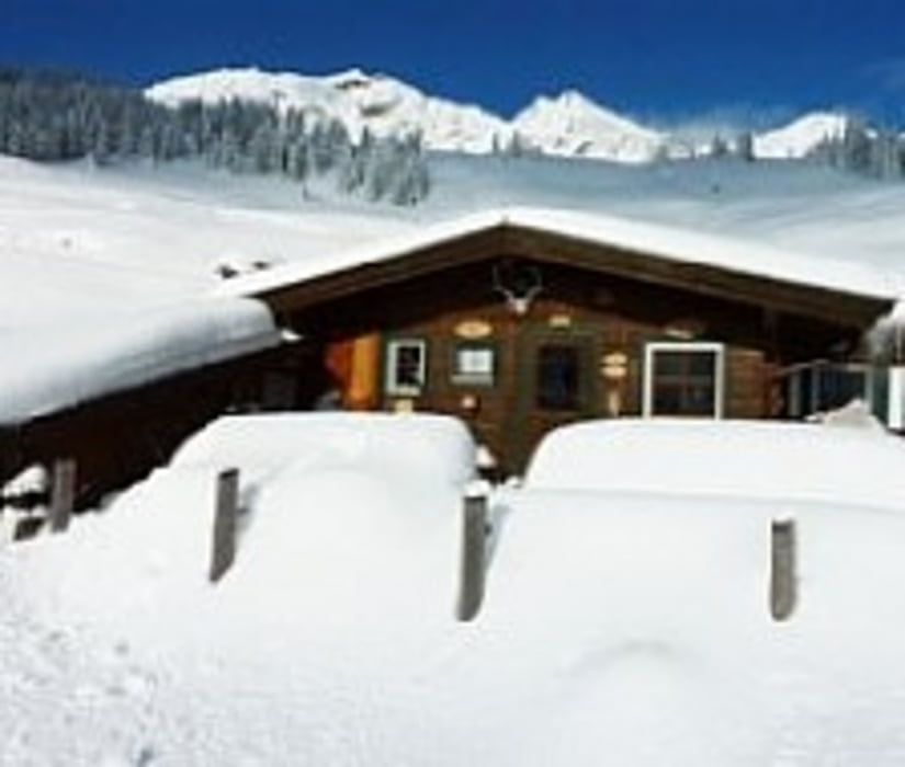
http://www.kitzalps.com/de/vermieter/kitzbuehel/berggasthof-hochwildalm.html

Mapa trasy i profil wysokości

  • Open Street Map
  • Google
Minimum height 1038 m Maximum height 1572 m Widok szczegółowy

More about the tour author

Kagerbauer
Member since 2008

Send private message

Komentarze

Von Kitzbühel Richtung Aurach/Wildpark

GPS tracks

Trackpoints
  • GPX / Garmin Map Source (gpx) download
  • TCX / Garmin Training Center® (tcx) download
  • CRS / Garmin Training Center® (crs) download
  • Google Earth (kml) download
  • G7ToWin (g7t) download
  • TTQV (trk) download
  • Overlay (ovl) download
  • Fugawi (txt) download
  • Kompass (DAV) Track (tk) download
  • Karta trasy (pdf) download
  • Original file of the author (gpx) download

More about the tour author

Kagerbauer
Member since 2008

Send private message
Share track
Add to my favorites
Remove from my favorites
Edit tags
My score
Rate
Trasa: Hochwildalm
Rodzaj: Narty
Długość: 8,6 km
Evaluated on:
Czas trwania:
Day(s)
Hour(s)
Minute(s)
Ocena: Krajobraz Czynnik zadowolenia Kondycja Technika