Login

Zapomniałeś swój login?

Cookies have to be accepted!
Your browser's cookie functionality is disabled. Please enable this functionality.

Not a member yet?

Register now
Login

Available for registred users only

Log in to use this feature.

Zapomniałeś swój login?

Cookies have to be accepted!
Your browser's cookie functionality is disabled. Please enable this functionality.

Not a member yet?

Register now
Filter
Kategorie
Advanced filters
  • Długość (km)
  • Wysokość
Zapisz filtr Reset filter

TrackRank

QRCode

Technical data

Długość15,4 km Wysokość329 m Way down306 m Czas trwania04:30 h:m Data02.03.2010
Oceny Author Krajobraz Czynnik zadowolenia Kondycja Technika

Statystyka

894 Widoki Oceny 316 Downloads / Pliki do pobrania Przeciętnie
Rate
  • Karta trasy
  • Dojazd
  • Downloads / Pliki do pobrania

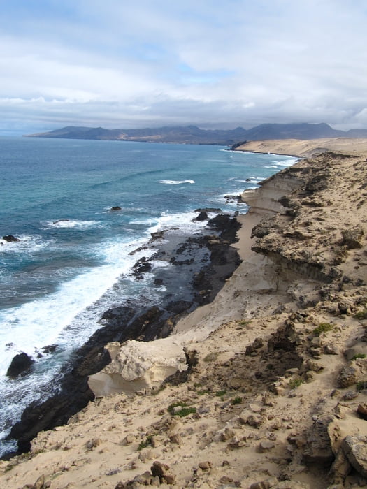
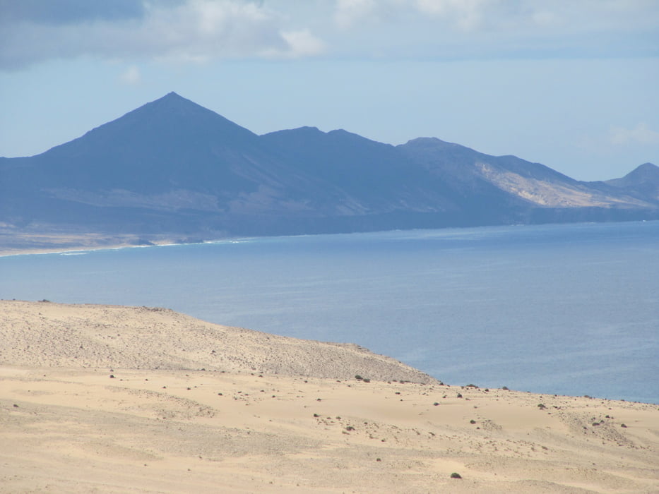
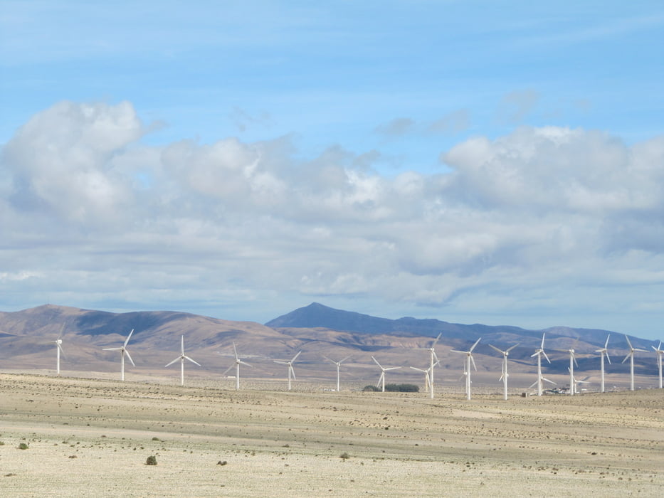
Die Tour startet am Hotel Melía Gorriones, dort gibt es auch eine Bushaltestelle. Zunächst führt der Weg nach Costa Calma, dann über die Insel in Sichtweite zu den Windrädern. An der steilen Westküste wählt man einen der angedeutet vorhandenen Wege und geht in Richtung Südwest weiter. Zurück in Richtung Ausgangspunkt findet man am leichtesten, wenn man einen der Hügel in Küstennähe erklimmt und sich dann wieder in Richtung Ostküste orientiert.

Galeria trasy

Mapa trasy i profil wysokości

  • Open Street Map
  • Google
Minimum height 6 m Maximum height 205 m Widok szczegółowy

More about the tour author

Odysseos
Member since 2009

Send private message

Komentarze

GPS tracks

Trackpoints
  • GPX / Garmin Map Source (gpx) download
  • TCX / Garmin Training Center® (tcx) download
  • CRS / Garmin Training Center® (crs) download
  • Google Earth (kml) download
  • G7ToWin (g7t) download
  • TTQV (trk) download
  • Overlay (ovl) download
  • Fugawi (txt) download
  • Kompass (DAV) Track (tk) download
  • Karta trasy (pdf) download
  • Original file of the author (gpx) download

More about the tour author

Odysseos
Member since 2009

Send private message
Share track
Add to my favorites
Remove from my favorites
Edit tags
My score
Rate
Trasa: Inselrundweg um die Windräder
Rodzaj: Wędrówki
Długość: 15,4 km
Evaluated on:
Czas trwania:
Day(s)
Hour(s)
Minute(s)
Ocena: Krajobraz Czynnik zadowolenia Kondycja Technika