

Der Rundweg Coucouru beginnt auf dem Parkplatz neben dem Friedhof von Vallon Pont-d'Arc, nach kurzer Zeit verlässt man die kleine Strasse und folgt einem kleinen Pfad durch die Weinberge hinauf. Bei 2/3 des Aufstiegs befindet sich ein vereinzeltes Haus hier sieht man je nach Saison die Bewirtschaftung der Weinberge und Mandelbäume. Dem Pfad mit seinen kleinen Steinmauern folgen (diese hat man früher aufgebaut um die wenige vorhandene Erde vor Erosion zu schützen). Am Gipfel des Steinwaldes wird der Aufstieg belohnt mit einer wunderbaren Sicht auf die "vallée de Pécoulas" die Ländereien "Ruoms" und "Vallon" und weiter auf die "contreforts de la haute-Ardèche". Weiter geht es bergab durch die herrliche Landschaft zu einer wenig befahrenen Strasse dieser folgt man zurück nach Vallon Pont d'Arc.
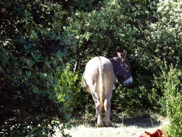
Damit der Rundweg auch mit Kinder Spaß macht, kann man sich Esel in der Umgebung ausleihen.
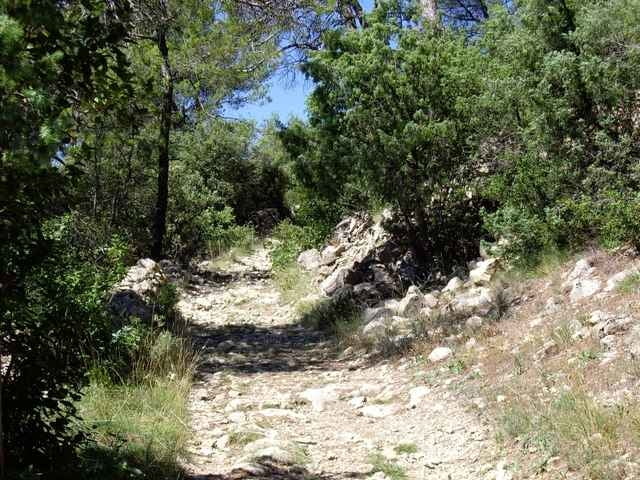
Steiniger Pfad, festes Schuhwerk empfohlen
Damit der Rundweg auch mit Kinder Spaß macht, kann man sich Esel in der Umgebung ausleihen.
Steiniger Pfad, festes Schuhwerk empfohlen
Further information at
http://www.vallon-pont-darc.com/site_fr/pratiques_fr/communes.htmGaleria trasy
Mapa trasy i profil wysokości
Minimum height 95 m
Maximum height 330 m
More about the tour author

|
christiankrier |
Komentarze

GPS tracks
Trackpoints-
GPX / Garmin Map Source (gpx) download
-
TCX / Garmin Training Center® (tcx) download
-
CRS / Garmin Training Center® (crs) download
-
Google Earth (kml) download
-
G7ToWin (g7t) download
-
TTQV (trk) download
-
Overlay (ovl) download
-
Fugawi (txt) download
-
Kompass (DAV) Track (tk) download
-
Karta trasy (pdf) download
-
Original file of the author (gpx) download
More about the tour author
|
|
christiankrier |
Add to my favorites
Remove from my favorites
Edit tags
Open track
My score
Rate