Login

Zapomniałeś swój login?

Cookies have to be accepted!
Your browser's cookie functionality is disabled. Please enable this functionality.

Not a member yet?

Register now
Login

Available for registred users only

Log in to use this feature.

Zapomniałeś swój login?

Cookies have to be accepted!
Your browser's cookie functionality is disabled. Please enable this functionality.

Not a member yet?

Register now
Filter
Kategorie
Advanced filters
  • Długość (km)
  • Wysokość
Zapisz filtr Reset filter

TrackRank

QRCode

Technical data

Długość26,7 km Wysokość249 m Way down247 m Czas trwania01:30 h:m Data21.03.2010
Oceny Author Krajobraz Czynnik zadowolenia Kondycja Technika

Statystyka

3094 Widoki 1 Ocena 340 Downloads / Pliki do pobrania 4.00 Przeciętnie
Rate
  • Karta trasy
  • Dojazd
  • Downloads / Pliki do pobrania

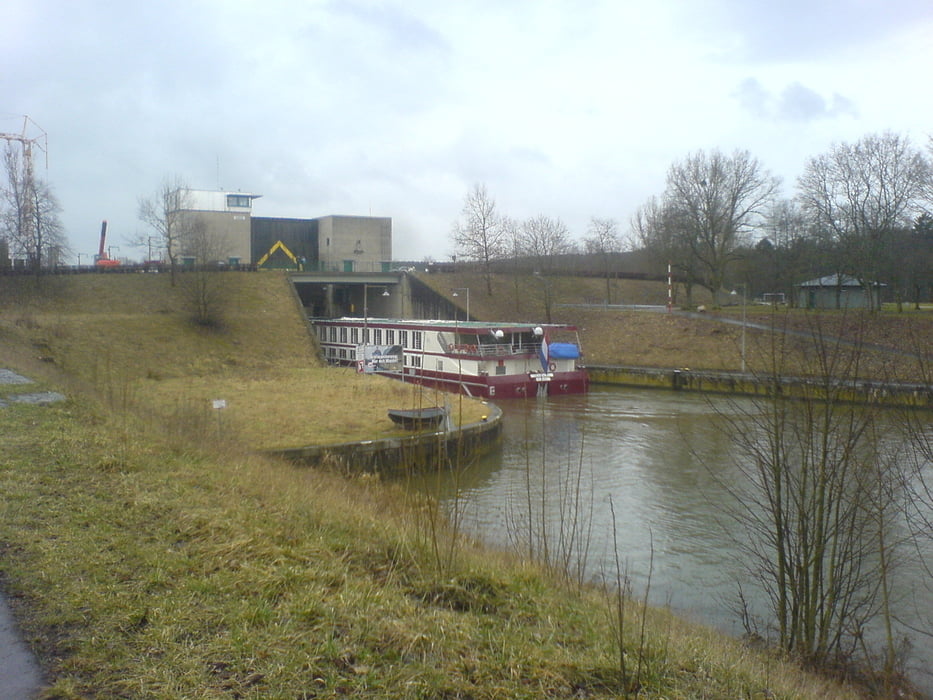
Es geht los am Bahnhof, am Kanal entlang, über die Schleuse und an Bug vorbei rein in den Bruderwald.

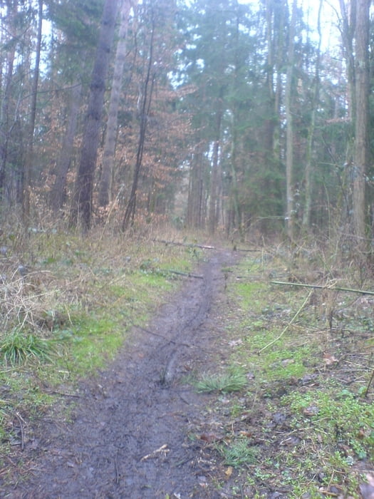
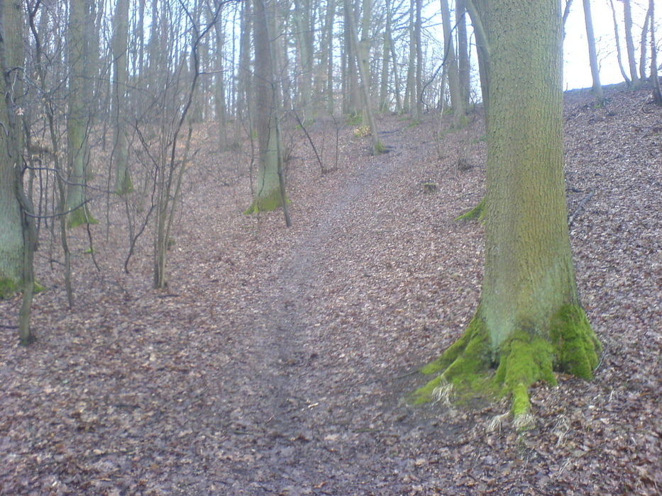
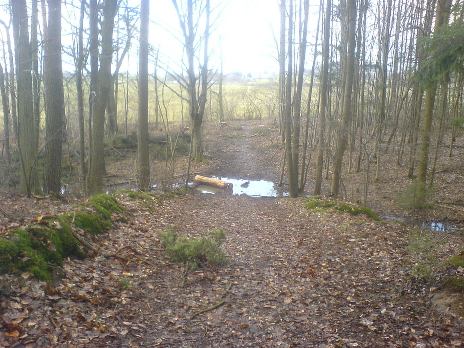
Dort fährt man auf kleinen Trails und Waldwegen.

Es gibt eigentlich immer einige schlammige Stellen. Die Abfahrten sind technisch problemlos zu bewerkstelligen. Es gibt wenige knifflige Stellen. Der track macht einfach nur Spass. Um die dafür nötige hohe Geschwindigkeit zu halten sollte man einigermaßen fit sein.

Galeria trasy

Mapa trasy i profil wysokości

  • Open Street Map
  • Google
Minimum height 235 m Maximum height 304 m Widok szczegółowy

More about the tour author

slimboyt
Member since 2009

Send private message

Komentarze


Ab Bahnhof Bamberg


GPS tracks

Trackpoints
  • GPX / Garmin Map Source (gpx) download
  • TCX / Garmin Training Center® (tcx) download
  • CRS / Garmin Training Center® (crs) download
  • Google Earth (kml) download
  • G7ToWin (g7t) download
  • TTQV (trk) download
  • Overlay (ovl) download
  • Fugawi (txt) download
  • Kompass (DAV) Track (tk) download
  • Karta trasy (pdf) download
  • Original file of the author (gpx) download

More about the tour author

slimboyt
Member since 2009

Send private message
Share track
Add to my favorites
Remove from my favorites
Edit tags
My score
Rate
Trasa: Bruderwald Bamberg
Rodzaj: Rower górski (MTB)
Długość: 26,7 km
Evaluated on:
Czas trwania:
Day(s)
Hour(s)
Minute(s)
Ocena: Krajobraz Czynnik zadowolenia Kondycja Technika