


Eine liegende Acht durch Wald und Feld.
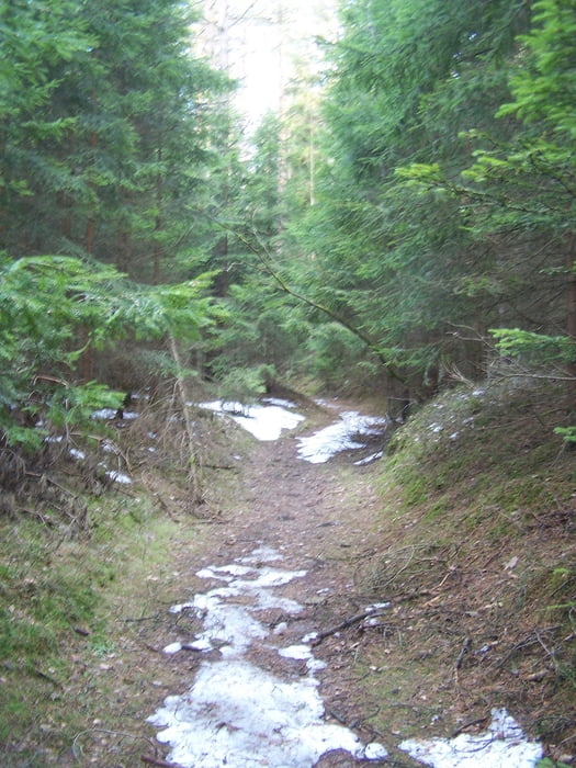
Die Tour startet am empfehlenswerten Hölltaler Hof. Ideal um nach der Rund was zu trinken und zu essen. Der Anstieg verläuft auf einem schönen Weg durch den Wald bis an den Ortsrand. Danach ein Stück über freie Fläche bis es wieder, nach einem Knick nach rechts, auf einem wunderschönen Hohlweg im Wald bergan geht.
Die Tour wird etwas langweilig um den Steinbruch herum.
Der Rückweg ist dann wieder netter.
Further information at
http://www.oberpfalz-luftbild.de/ost/mitterhoell.htmGaleria trasy


Mapa trasy i profil wysokości
Minimum height 500 m
Maximum height 620 m
More about the tour author
|
|
Pheinz |
Komentarze

Auf dem Hotelparkplatz gehts los.
Hölltaler Hof
Familie Vierling
Oberhöll 2
92637 Weiden
GPS tracks
Trackpoints-
GPX / Garmin Map Source (gpx) download
-
TCX / Garmin Training Center® (tcx) download
-
CRS / Garmin Training Center® (crs) download
-
Google Earth (kml) download
-
G7ToWin (g7t) download
-
TTQV (trk) download
-
Overlay (ovl) download
-
Fugawi (txt) download
-
Kompass (DAV) Track (tk) download
-
Karta trasy (pdf) download
-
Original file of the author (gpx) download
More about the tour author
|
|
Pheinz |
Add to my favorites
Remove from my favorites
Edit tags
Open track
My score
Rate