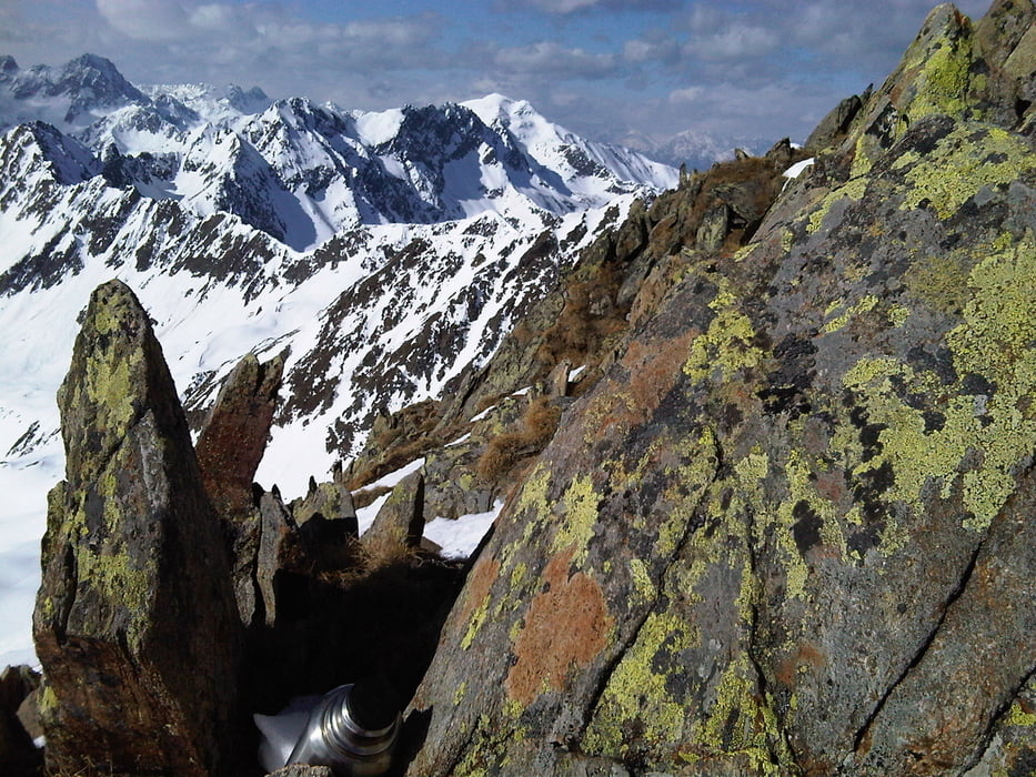
Sehr schöne und bekannte Skitour mit herrlichem Panorama und genussvollen Abfahrten. Der Track endet am Skigipfel. Von dort ist ein Aufstieg zum Gipfel zu Fuß möglich. Allerdings ist der Weg zum Hauptgipfel ausgesetzt. Als Dauer habe ich die Gesamtzeit inkl. Pausen angegeben.
Mapa trasy i profil wysokości
Minimum height 1875 m
Maximum height 2757 m
Komentarze

Über die Inntalautobahn - Ausfahrt Zirl Ost - Sellraintal bis kurz vor Kühtai
GPS tracks
Trackpoints-
GPX / Garmin Map Source (gpx) download
-
TCX / Garmin Training Center® (tcx) download
-
CRS / Garmin Training Center® (crs) download
-
Google Earth (kml) download
-
G7ToWin (g7t) download
-
TTQV (trk) download
-
Overlay (ovl) download
-
Fugawi (txt) download
-
Kompass (DAV) Track (tk) download
-
Karta trasy (pdf) download
-
Original file of the author (gpx) download
Add to my favorites
Remove from my favorites
Edit tags
Open track
My score
Rate


