Login

Zapomniałeś swój login?

Cookies have to be accepted!
Your browser's cookie functionality is disabled. Please enable this functionality.

Not a member yet?

Register now
Login

Available for registred users only

Log in to use this feature.

Zapomniałeś swój login?

Cookies have to be accepted!
Your browser's cookie functionality is disabled. Please enable this functionality.

Not a member yet?

Register now
Filter
Kategorie
Advanced filters
  • Długość (km)
  • Wysokość
Zapisz filtr Reset filter

TrackRank

QRCode

Technical data

Długość11,1 km Wysokość682 m Way down674 m Czas trwania03:15 h:m Data26.03.2010
Oceny Author Krajobraz Czynnik zadowolenia Kondycja Technika

Statystyka

1451 Widoki Oceny 44 Downloads / Pliki do pobrania Przeciętnie
Rate
  • Karta trasy
  • Dojazd
  • Downloads / Pliki do pobrania

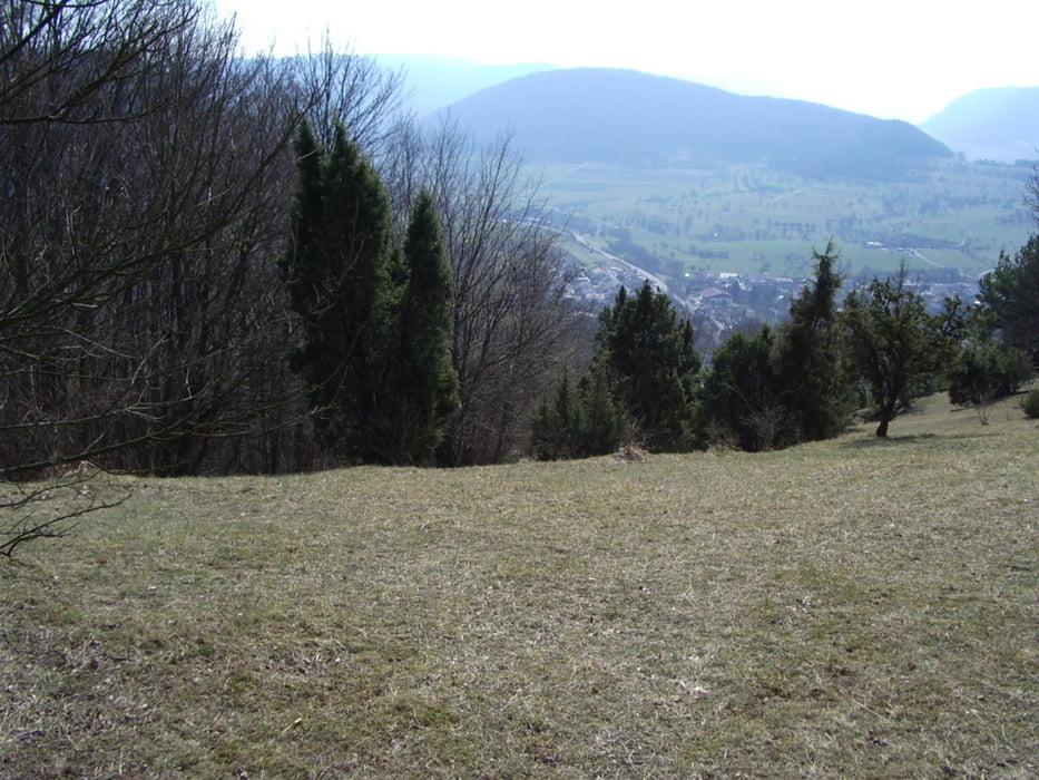
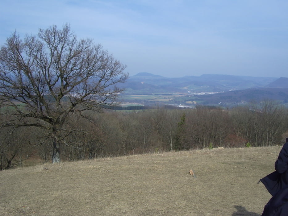
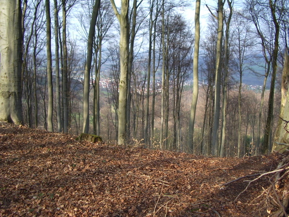
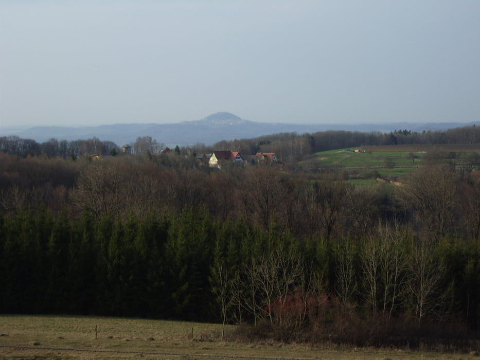
Start ist der Wanderparkplatz auf dem Grünenberg. Von hier aus gehen wir auf den Burren, hier haben wir einen herrlichen Rundumblick (360°). Wir gehen weiter am Tennenberg vorbei zum Spitzenberg und auf dem Weg unterhalb wieder zurück, an der ehemaligen Hunnenburg vorbei zurück zum Ausgangspunkt.

Galeria trasy

Mapa trasy i profil wysokości

  • Open Street Map
  • Google
Minimum height 470 m Maximum height 724 m Widok szczegółowy

More about the tour author

whasch
Member since 2009

Send private message

Komentarze

Grünenberg liegt auf der Landstrasse zwischen Unterböhringen und Gingen

GPS tracks

Trackpoints
  • GPX / Garmin Map Source (gpx) download
  • TCX / Garmin Training Center® (tcx) download
  • CRS / Garmin Training Center® (crs) download
  • Google Earth (kml) download
  • G7ToWin (g7t) download
  • TTQV (trk) download
  • Overlay (ovl) download
  • Fugawi (txt) download
  • Kompass (DAV) Track (tk) download
  • Karta trasy (pdf) download
  • Original file of the author (gpx) download

More about the tour author

whasch
Member since 2009

Send private message
Share track
Add to my favorites
Remove from my favorites
Edit tags
My score
Rate
Trasa: Grünenberg Kuchen
Rodzaj: Wędrówki
Długość: 11,1 km
Evaluated on:
Czas trwania:
Day(s)
Hour(s)
Minute(s)
Ocena: Krajobraz Czynnik zadowolenia Kondycja Technika