Login

Zapomniałeś swój login?

Cookies have to be accepted!
Your browser's cookie functionality is disabled. Please enable this functionality.

Not a member yet?

Register now
Login

Available for registred users only

Log in to use this feature.

Zapomniałeś swój login?

Cookies have to be accepted!
Your browser's cookie functionality is disabled. Please enable this functionality.

Not a member yet?

Register now
Filter
Kategorie
Advanced filters
  • Długość (km)
  • Wysokość
Zapisz filtr Reset filter

TrackRank

QRCode

Technical data

Długość28,1 km Wysokość104 m Way down120 m Czas trwania01:30 h:m Data31.03.2010
Oceny Author Krajobraz Czynnik zadowolenia Kondycja Technika

Statystyka

280 Widoki Oceny 40 Downloads / Pliki do pobrania Przeciętnie
Rate
  • Karta trasy
  • Dojazd
  • Downloads / Pliki do pobrania

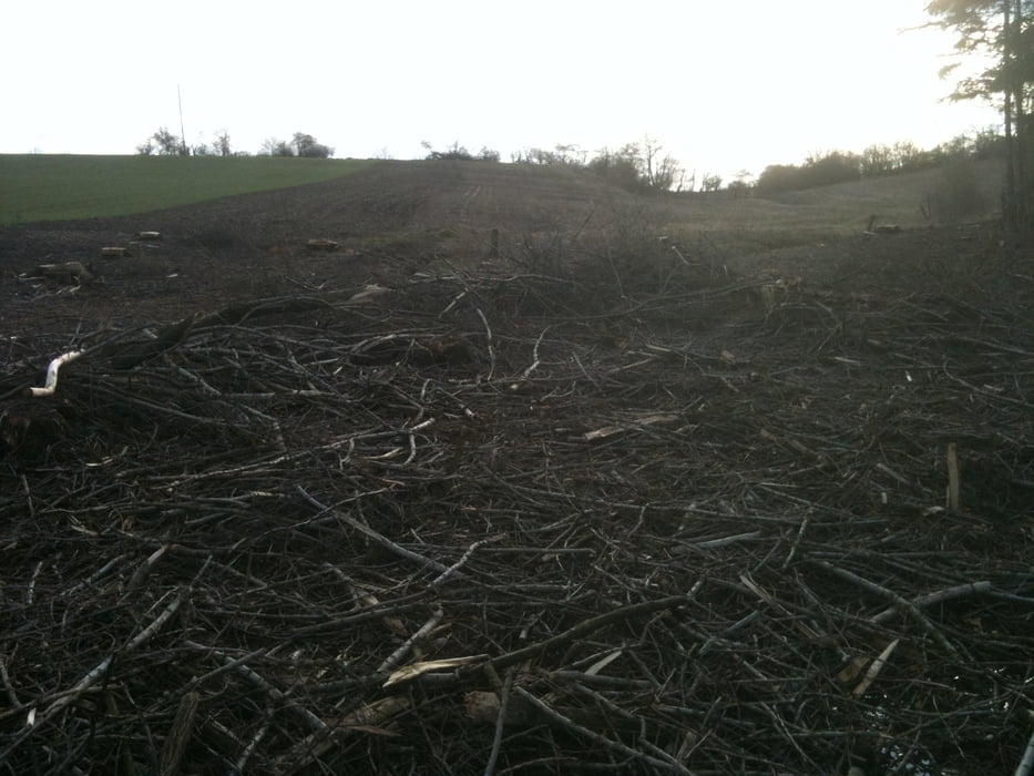
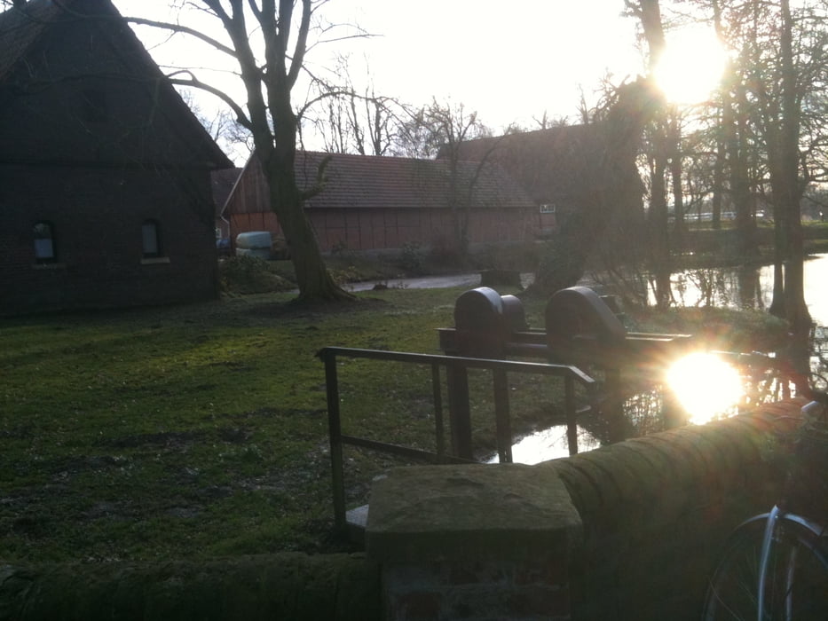
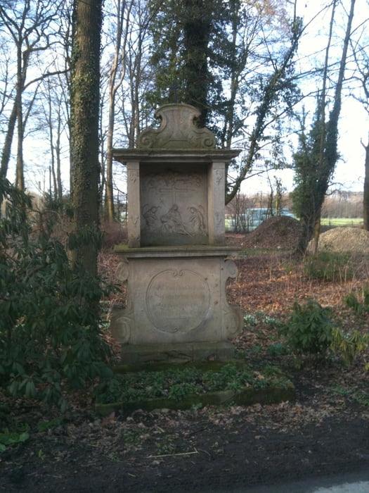
Erste kleine Tour im neuen Jahr

ruhige Landstraße - sonst Wirtschaftswege und Pättken

Von Altenberge über Havixbeck durch den Wald Richtung Hohenholte, wo ein schöner Cafe au lait wartet, zurück zum Ausgangspunkt.


Further information at

http://www.ponyhof.de/muensterland/ponyhof/

Galeria trasy

Mapa trasy i profil wysokości

  • Open Street Map
  • Google
Minimum height 54 m Maximum height 108 m Widok szczegółowy

More about the tour author

Pedelectriker
Member since 2009

Send private message

Komentarze

Mit Bahn oder Auto - Am Bahnhof in Altenberge gibts es ausreichend Parkplätze.

GPS tracks

Trackpoints
  • GPX / Garmin Map Source (gpx) download
  • TCX / Garmin Training Center® (tcx) download
  • CRS / Garmin Training Center® (crs) download
  • Google Earth (kml) download
  • G7ToWin (g7t) download
  • TTQV (trk) download
  • Overlay (ovl) download
  • Fugawi (txt) download
  • Kompass (DAV) Track (tk) download
  • Karta trasy (pdf) download
  • Original file of the author (gpx) download

More about the tour author

Pedelectriker
Member since 2009

Send private message
Share track
Add to my favorites
Remove from my favorites
Edit tags
My score
Rate
Trasa: Altenberge Havixbeck Hohenholte
Rodzaj: Rower trekkingowy
Długość: 28,1 km
Evaluated on:
Czas trwania:
Day(s)
Hour(s)
Minute(s)
Ocena: Krajobraz Czynnik zadowolenia Kondycja Technika