
")

Beschreibung: Kurze Wanderung zur Josef-Franz Hütte (841m) die auch mit Kindern sicher Spaß macht. Der Weg führt ab dem Parkplatz über eine Forststraße hoch zur Hütte. Gelb/blaue Markierungen weisen den Weg.
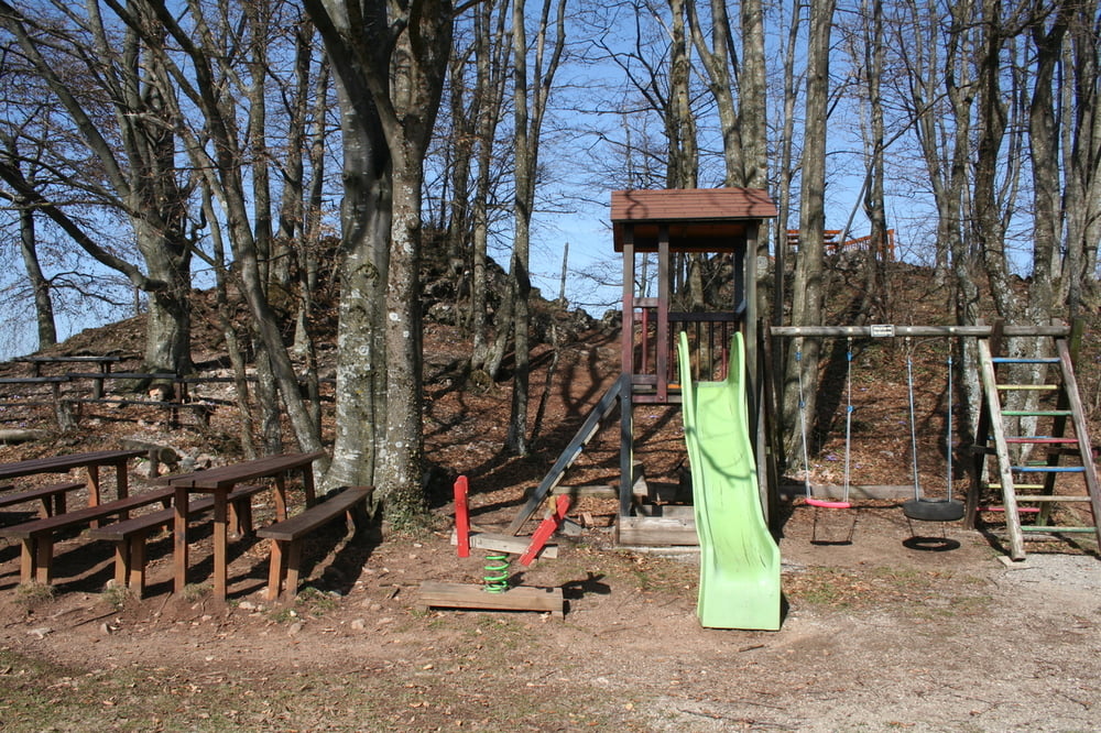
Bei der Hütte gibt es Spielmöglichkeiten für die Kinder. Eine kl. Aussichtsplattform ermöglicht den Blick bis ins südliche Waldviertel, Tullnerfeld usw.
Den schwierigsten Teil hat man nun Hintersich. Der Weg zum Gipfel ist nur mehr ein kleiner Waldspaziergang. Auch vom Gipfel aus hat man einen tollen Ausblick.
Die Öffnungszeiten und weitere Infos über die Hütte entnehmen sie bitte aus dem Link
Infos über den Ort Rabenstein an der Pielach - Link
Man kann auch über die Ruine Rabenstein in den Ort absteigen.
Wetter; austrowetter.at
Galeria trasy

Mapa trasy i profil wysokości
Minimum height 762 m
Maximum height 887 m
More about the tour author

|
Komentarze

A1 bis St. Pölten Süd - Richtung Ober Grafendorf - der B39 folgen bis Rabenstein an der Pielach - bei Tankstelle li. - der Beschilderung folgen über Güterweg Röhrenbach
GPS tracks
Trackpoints-
GPX / Garmin Map Source (gpx) download
-
TCX / Garmin Training Center® (tcx) download
-
CRS / Garmin Training Center® (crs) download
-
Google Earth (kml) download
-
G7ToWin (g7t) download
-
TTQV (trk) download
-
Overlay (ovl) download
-
Fugawi (txt) download
-
Kompass (DAV) Track (tk) download
-
Karta trasy (pdf) download
-
Original file of the author (gpx) download
More about the tour author
|
|
Add to my favorites
Remove from my favorites
Edit tags
Open track
My score
Rate