Login

Zapomniałeś swój login?

Cookies have to be accepted!
Your browser's cookie functionality is disabled. Please enable this functionality.

Not a member yet?

Register now
Login

Available for registred users only

Log in to use this feature.

Zapomniałeś swój login?

Cookies have to be accepted!
Your browser's cookie functionality is disabled. Please enable this functionality.

Not a member yet?

Register now
Filter
Kategorie
Advanced filters
  • Długość (km)
  • Wysokość
Zapisz filtr Reset filter

TrackRank

QRCode

Technical data

Długość49,7 km Wysokość417 m Way down415 m Czas trwania04:00 h:m Data02.04.2010
Oceny Author Krajobraz Czynnik zadowolenia Kondycja Technika

Statystyka

2387 Widoki 2 Oceny 429 Downloads / Pliki do pobrania 2.50 Przeciętnie
Rate
  • Karta trasy
  • Dojazd
  • Downloads / Pliki do pobrania

Start und Ziel in Monige del Garda, Via san Sivino

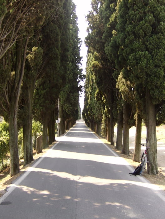
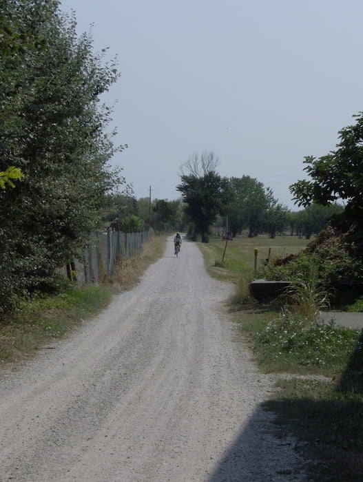
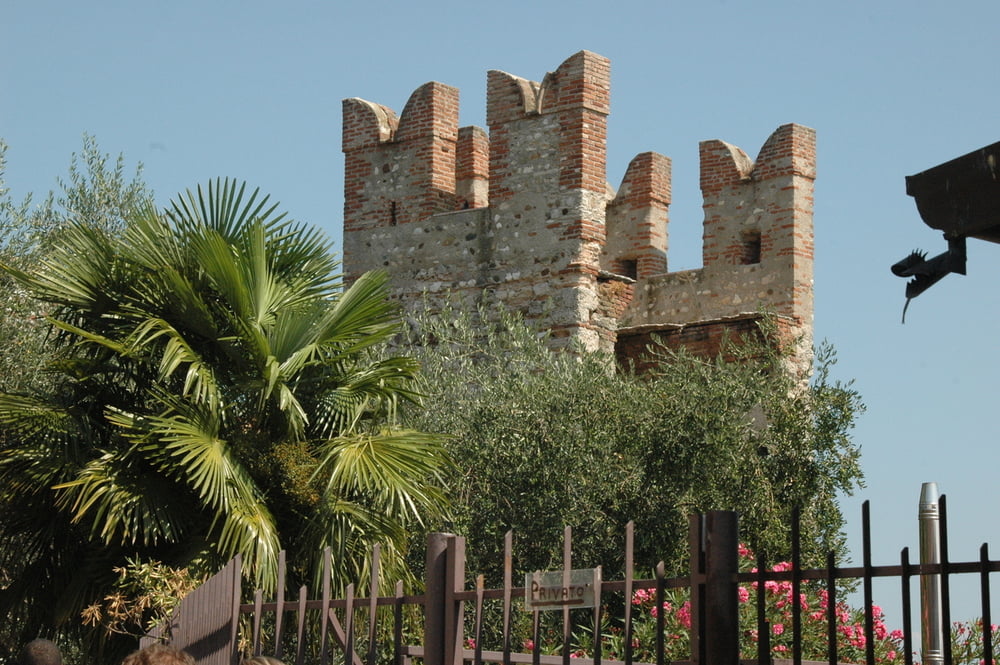
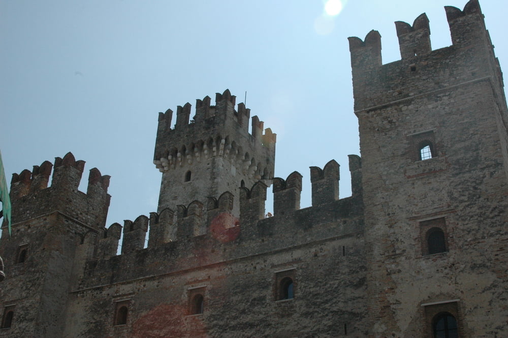
Die Tour führt zum Teil auf Hauptstrassen und dem See entlang durch Desenzano zur Halbinsel mit dem historischen Städchten Sirmione. Der Rückweg verläuft nach dem verlassen der Stadt Desenzano über Feldwege (schöne Alee). Der Aufstieg nach Padenghe sul Garda wird mit dem Besuch im Ristorant belohnt.


Galeria trasy

Mapa trasy i profil wysokości

  • Open Street Map
  • Google
Minimum height 66 m Maximum height 203 m Widok szczegółowy

More about the tour author

thstettler
Member since 2009

Send private message

Komentarze

GPS tracks

Trackpoints
  • GPX / Garmin Map Source (gpx) download
  • TCX / Garmin Training Center® (tcx) download
  • CRS / Garmin Training Center® (crs) download
  • Google Earth (kml) download
  • G7ToWin (g7t) download
  • TTQV (trk) download
  • Overlay (ovl) download
  • Fugawi (txt) download
  • Kompass (DAV) Track (tk) download
  • Karta trasy (pdf) download
  • Original file of the author (gpx) download

More about the tour author

thstettler
Member since 2009

Send private message
Share track
Add to my favorites
Remove from my favorites
Edit tags
My score
Rate
Trasa: Sirmione
Rodzaj: Rower górski (MTB)
Długość: 49,7 km
Evaluated on:
Czas trwania:
Day(s)
Hour(s)
Minute(s)
Ocena: Krajobraz Czynnik zadowolenia Kondycja Technika