


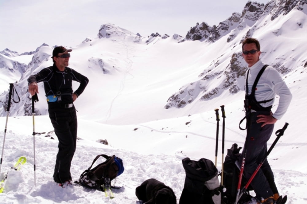
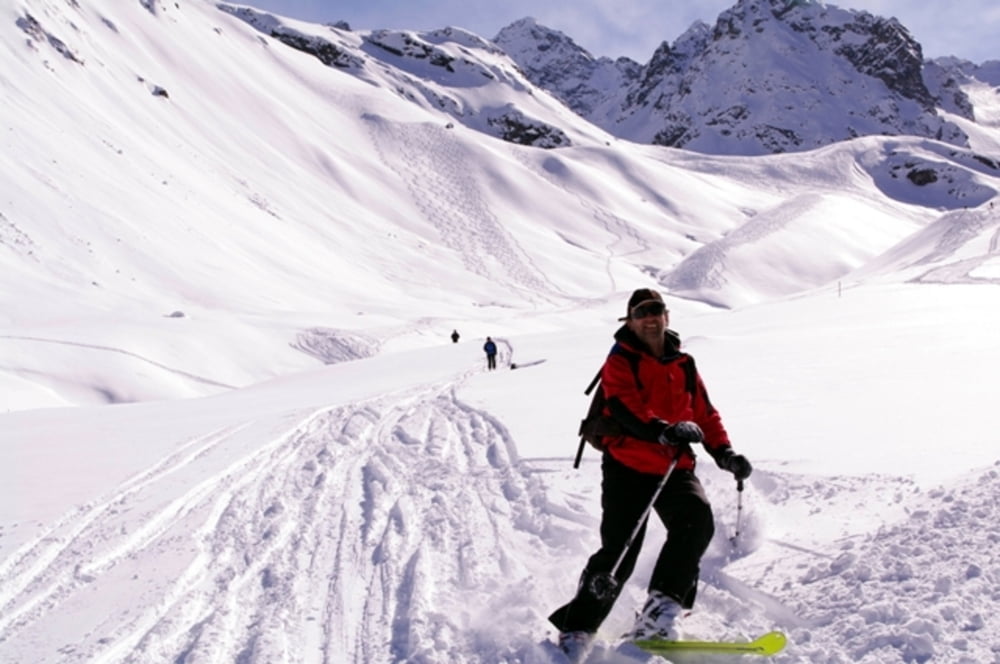
Superschöne Skitour zur Sonntagsspitze in der Silvretta.
Ausgangspunkt war der Vermuntstausee (Auffahrt mit der Vermuntbahn in Partenen). Von dort Aufstieg bis ca. 150 HM unterhalb der Saarbrückner Hütte. Dann links abzweigen in Richtung Litzner Sattel bis auf ca. 2.700 m. Dann kurze Abfahrt und anschließen nochmals Aufstieg bis zur Sonntagsspitze (2882m). Wir gingen auf demselben Weg wieder zurück, besuchten am Rückweg aber noch die einmalig schöne Saarbrückner Hütte. Schöne Abfahrt zurück zum Vermuntstausee.
Eine weitere Möglichkeit wäre der Aufstieg von der Bieler Höhe durch das Klostertal, dann links abzweigen ins Verhupftäli und Aufstieg auf den Gipfel. Retour dann über die Saarbrückner Hütte.
Sehr lohnender Gipfel!
weitere Fotos auf www.ferienmacher.com
Galeria trasy


Mapa trasy i profil wysokości
Minimum height 1747 m
Maximum height 2896 m
More about the tour author
|
|
Gueni |
Komentarze

Startpunkt ist Partenen im Montafon. Auffahrt mit der Vermuntbahn und mit dem Tunnelbus bis zum Seespitz.
GPS tracks
Trackpoints-
GPX / Garmin Map Source (gpx) download
-
TCX / Garmin Training Center® (tcx) download
-
CRS / Garmin Training Center® (crs) download
-
Google Earth (kml) download
-
G7ToWin (g7t) download
-
TTQV (trk) download
-
Overlay (ovl) download
-
Fugawi (txt) download
-
Kompass (DAV) Track (tk) download
-
Karta trasy (pdf) download
-
Original file of the author (gpx) download
More about the tour author
|
|
Gueni |
Add to my favorites
Remove from my favorites
Edit tags
Open track
My score
Rate