Login

Zapomniałeś swój login?

Cookies have to be accepted!
Your browser's cookie functionality is disabled. Please enable this functionality.

Not a member yet?

Register now
Login

Available for registred users only

Log in to use this feature.

Zapomniałeś swój login?

Cookies have to be accepted!
Your browser's cookie functionality is disabled. Please enable this functionality.

Not a member yet?

Register now
Filter
Kategorie
Advanced filters
  • Długość (km)
  • Wysokość
Zapisz filtr Reset filter

TrackRank

QRCode

Technical data

Długość86,9 km Wysokość858 m Way down846 m Czas trwania00:00 h:m Data06.04.2010
Oceny Author Krajobraz Czynnik zadowolenia Kondycja Technika

Statystyka

435 Widoki Oceny 92 Downloads / Pliki do pobrania Przeciętnie
Rate
  • Karta trasy
  • Dojazd
  • Downloads / Pliki do pobrania

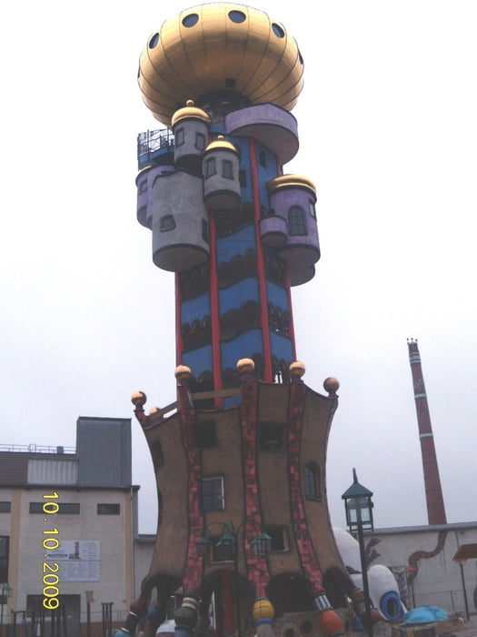
Nochmal zum Hundertwasserturm - eine kürzere Strecke, insgesamt mit wenigeren Höhenmetern, aber einem knackigen Anstieg (15%) beim Thumhausen....

Mapa trasy i profil wysokości

  • Open Street Map
  • Google
Minimum height 330 m Maximum height 509 m Widok szczegółowy

More about the tour author

Hrabe
Member since 2008

Send private message

Komentarze

GPS tracks

Trackpoints
  • GPX / Garmin Map Source (gpx) download
  • TCX / Garmin Training Center® (tcx) download
  • CRS / Garmin Training Center® (crs) download
  • Google Earth (kml) download
  • G7ToWin (g7t) download
  • TTQV (trk) download
  • Overlay (ovl) download
  • Fugawi (txt) download
  • Kompass (DAV) Track (tk) download
  • Karta trasy (pdf) download
  • Original file of the author (gpx) download

More about the tour author

Hrabe
Member since 2008

Send private message
Share track
Add to my favorites
Remove from my favorites
Edit tags
My score
Rate
Trasa: RGBG-Abensberg zum Hundertwasserturm - 87 Km
Rodzaj: Rower szosowy
Długość: 86,9 km
Evaluated on:
Czas trwania:
Day(s)
Hour(s)
Minute(s)
Ocena: Krajobraz Czynnik zadowolenia Kondycja Technika