Login

Zapomniałeś swój login?

Cookies have to be accepted!
Your browser's cookie functionality is disabled. Please enable this functionality.

Not a member yet?

Register now
Login

Available for registred users only

Log in to use this feature.

Zapomniałeś swój login?

Cookies have to be accepted!
Your browser's cookie functionality is disabled. Please enable this functionality.

Not a member yet?

Register now
Filter
Kategorie
Advanced filters
  • Długość (km)
  • Wysokość
Zapisz filtr Reset filter

TrackRank

QRCode

Technical data

Długość42,2 km Wysokość977 m Way down985 m Czas trwania00:00 h:m Data08.04.2010
Oceny Author Krajobraz Czynnik zadowolenia Kondycja Technika

Statystyka

451 Widoki Oceny 90 Downloads / Pliki do pobrania Przeciętnie
Rate
  • Karta trasy
  • Dojazd
  • Downloads / Pliki do pobrania


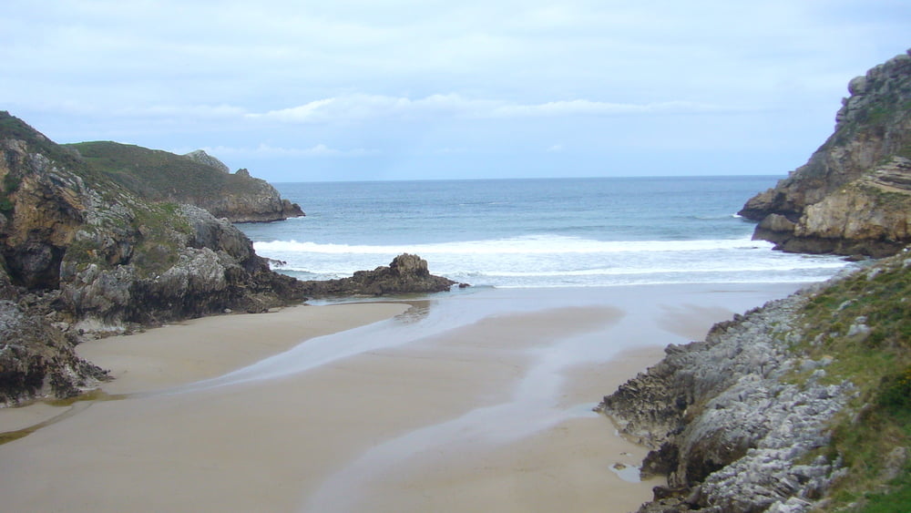
 El track que hemos seguido se encuentra en la página de cantabria en bici (nuestros agradecimientos)

Galeria trasy

Mapa trasy i profil wysokości

  • Open Street Map
  • Google
Minimum height -3 m Maximum height 341 m Widok szczegółowy

More about the tour author

sergiomf
Member since 2010

Send private message

Komentarze


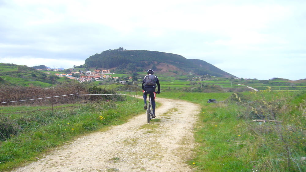
Es difícil aparcar en San Vicente por nuestra experiencia.  

GPS tracks

Trackpoints
  • GPX / Garmin Map Source (gpx) download
  • TCX / Garmin Training Center® (tcx) download
  • CRS / Garmin Training Center® (crs) download
  • Google Earth (kml) download
  • G7ToWin (g7t) download
  • TTQV (trk) download
  • Overlay (ovl) download
  • Fugawi (txt) download
  • Kompass (DAV) Track (tk) download
  • Karta trasy (pdf) download
  • Original file of the author (gpx) download

More about the tour author

sergiomf
Member since 2010

Send private message
Share track
Add to my favorites
Remove from my favorites
Edit tags
My score
Rate
Trasa: SAN VICENTE Y ALREDEDORES
Rodzaj: Rower górski (MTB)
Długość: 42,2 km
Evaluated on:
Czas trwania:
Day(s)
Hour(s)
Minute(s)
Ocena: Krajobraz Czynnik zadowolenia Kondycja Technika