


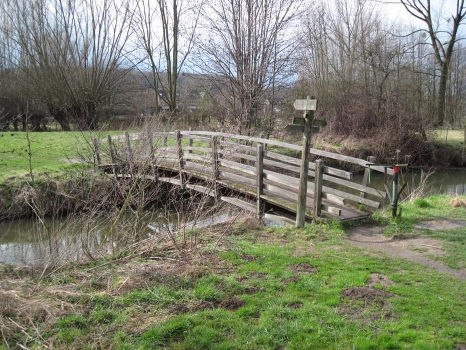
Eine kurze aber interessante Runde, die sich problemlos spontan an einem Nachmittag durchführen läßt. Gleich zu Anfang ist ein langgezogener Anstieg zu meistern. Im Schweibergerbos passiert man den Golfplatz. Man trifft auf einige der ortstypischen Drehkreuze zu den Voetpads. Zu Ostern sind die meisten Wegkreuze festlich geschmückt. Zum Schluß beim Weg über die Wiesen entlang der Geul ist geeignetes Schuhwerk zu empfehlen, dass gegebenenfalls Feuchtigkeit verkraftet.
Zahlreiche Einkehrmöglichkeiten sind in Mechelen vorhanden.
Further information at
http://www.wanderninsuedlimburg.de/Galeria trasy


Mapa trasy i profil wysokości
Minimum height 91 m
Maximum height 195 m
More about the tour author
|
|
MaillotBlanc |
Komentarze

Mit dem PKW: Von Aachen über Vaals auf die Maastrichterlaan durch Lemiers, im Kreisverkehr links hoch nach Vijlen, dort rechts nach Mechelen, und dort z.B. auf den ausgewiesenen Parkplätzen P1 oder P2 parken.
GPS tracks
Trackpoints-
GPX / Garmin Map Source (gpx) download
-
TCX / Garmin Training Center® (tcx) download
-
CRS / Garmin Training Center® (crs) download
-
Google Earth (kml) download
-
G7ToWin (g7t) download
-
TTQV (trk) download
-
Overlay (ovl) download
-
Fugawi (txt) download
-
Kompass (DAV) Track (tk) download
-
Karta trasy (pdf) download
-
Original file of the author (gpx) download
More about the tour author
|
|
MaillotBlanc |
Add to my favorites
Remove from my favorites
Edit tags
Open track
My score
Rate