


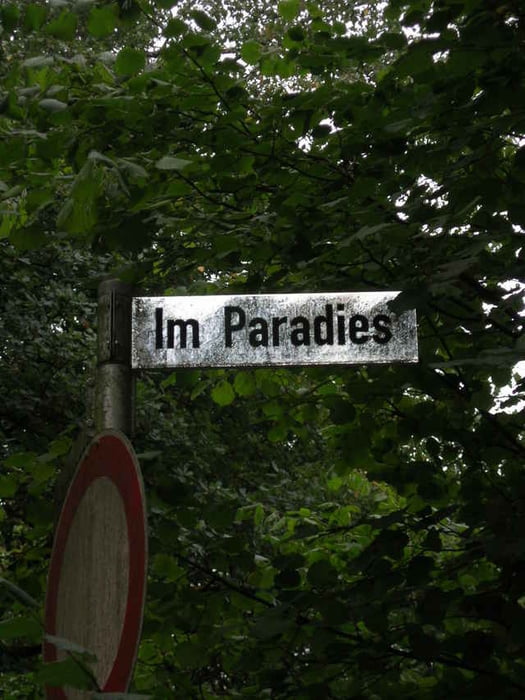
Von MH Selbeck (Tennisclub Stooter Str.) fahren wir zum Schloss Landsberg, dort durch den "Garten" und danach über einen relativ unbekannten Höhenkamm zur Rindsberger Mühle. Berauf über den Sengerholzer Weg nach H`haus Isenbügel. Von dort runter nach Oefte, über einen Seitenweg zur Abtsküche in H`haus. Dann über "Im Paradies" über den alten Bahndamm und einen Uphill zum Golfplatz Höesel, und dann in Angerbachtal. Über Hösel, Linnep über Breitscheid wieder zurück nach MH Selbeck zum Tennisclub auf der Stooter Str.
Galeria trasy
Mapa trasy i profil wysokości
Minimum height 48 m
Maximum height 193 m
More about the tour author

|
Slayer |
Komentarze

Vom Breitscheider Kreuz in Richtung MH Selbeck, dann rechts in die Stooter Str., nach 300m rechts liegt links der Tennisclub
GPS tracks
Trackpoints-
GPX / Garmin Map Source (gpx) download
-
TCX / Garmin Training Center® (tcx) download
-
CRS / Garmin Training Center® (crs) download
-
Google Earth (kml) download
-
G7ToWin (g7t) download
-
TTQV (trk) download
-
Overlay (ovl) download
-
Fugawi (txt) download
-
Kompass (DAV) Track (tk) download
-
Karta trasy (pdf) download
-
Original file of the author (gpx) download
More about the tour author
|
|
Slayer |
Add to my favorites
Remove from my favorites
Edit tags
Open track
My score
Rate