Login

Zapomniałeś swój login?

Cookies have to be accepted!
Your browser's cookie functionality is disabled. Please enable this functionality.

Not a member yet?

Register now
Login

Available for registred users only

Log in to use this feature.

Zapomniałeś swój login?

Cookies have to be accepted!
Your browser's cookie functionality is disabled. Please enable this functionality.

Not a member yet?

Register now
Filter
Kategorie
Advanced filters
  • Długość (km)
  • Wysokość
Zapisz filtr Reset filter

TrackRank

QRCode

Technical data

Długość27,2 km Wysokość867 m Way down1019 m Czas trwania08:30 h:m Data16.04.2010
Oceny Author Krajobraz Czynnik zadowolenia Kondycja Technika

Statystyka

869 Widoki Oceny 24 Downloads / Pliki do pobrania Przeciętnie
Rate
  • Karta trasy
  • Dojazd
  • Downloads / Pliki do pobrania

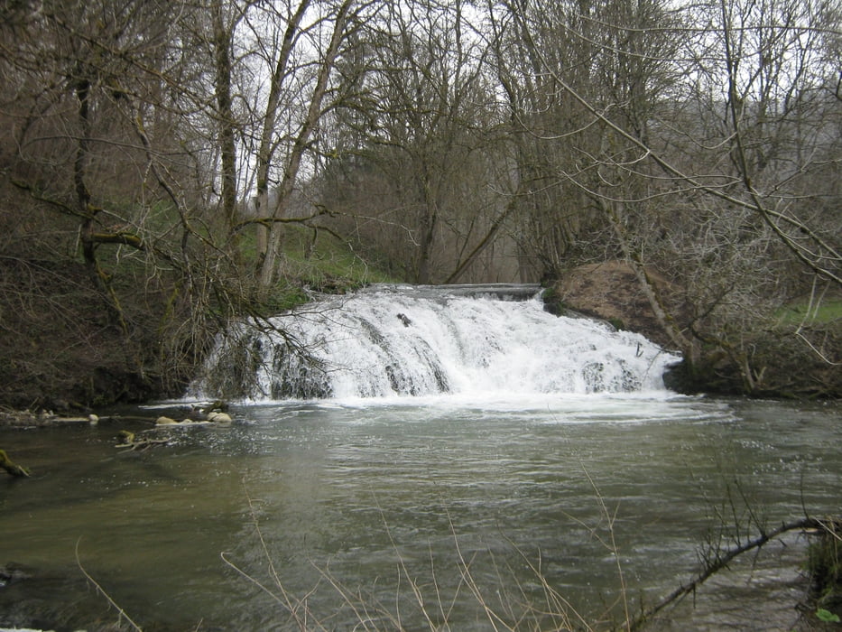
Gestartet in Hayingen Münzdorf, geht es auf Waldwegen hinab nach Weiler und folgt ab dort dem Burgenweg des Schw. Alb Vereins. In der Laufenmühle, unterhalb Reichensteins, besteht die Möglichkeit zur Einkehr, wie in den verschiedenen Ortschaften, in die man auf dem Weg kommt. Ebenso laden die vielen Ruinen am Weg zur Rast mit schönen Aussichten ein.

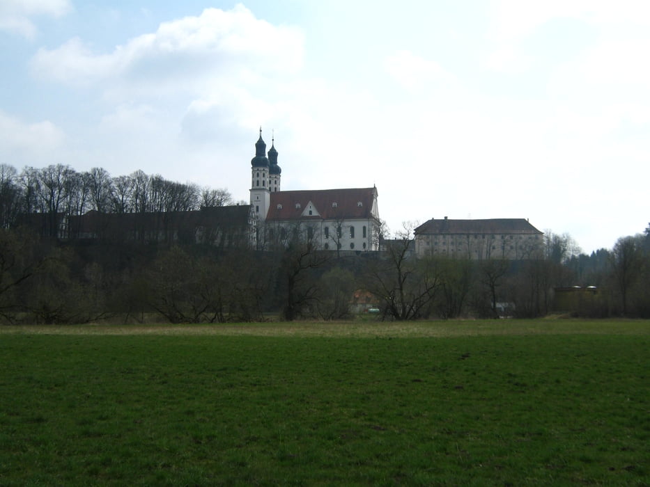
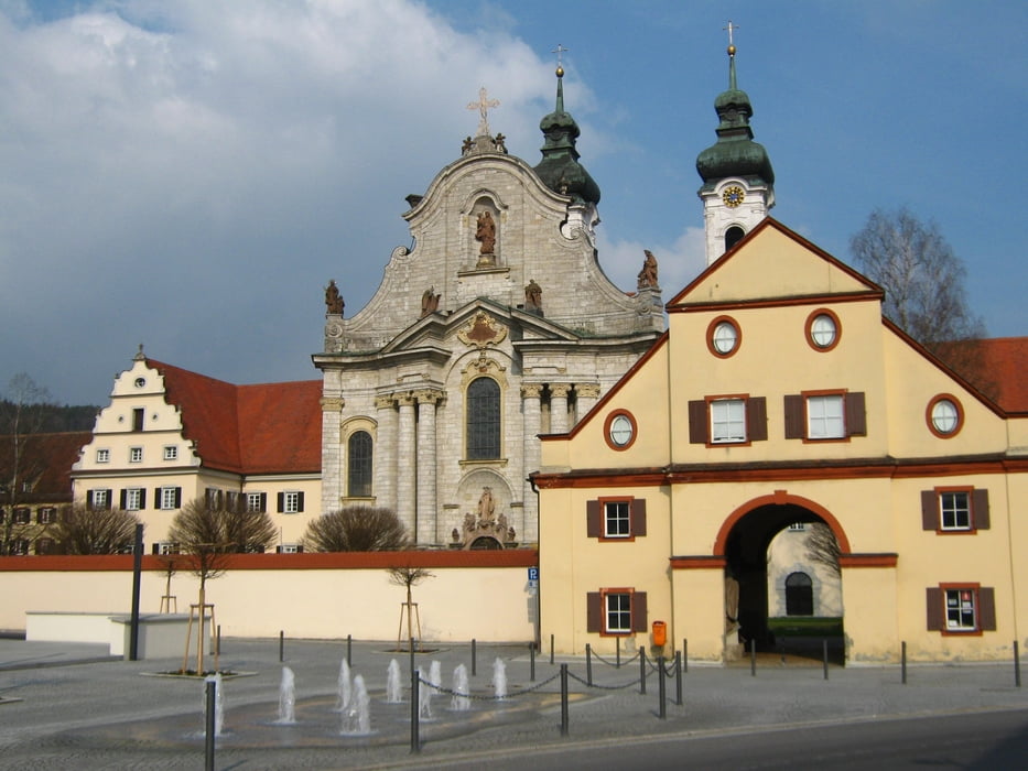
Als Abschluß der Tour ist ein Besuch des Münsters in Zwiefalten zu empfehlen.


Galeria trasy

Mapa trasy i profil wysokości

  • Open Street Map
  • Google
Minimum height 394 m Maximum height 691 m Widok szczegółowy

More about the tour author

olker65
Member since 2009

Send private message

Komentarze

GPS tracks

Trackpoints
  • GPX / Garmin Map Source (gpx) download
  • TCX / Garmin Training Center® (tcx) download
  • CRS / Garmin Training Center® (crs) download
  • Google Earth (kml) download
  • G7ToWin (g7t) download
  • TTQV (trk) download
  • Overlay (ovl) download
  • Fugawi (txt) download
  • Kompass (DAV) Track (tk) download
  • Karta trasy (pdf) download
  • Original file of the author (gpx) download

More about the tour author

olker65
Member since 2009

Send private message
Share track
Add to my favorites
Remove from my favorites
Edit tags
My score
Rate
Trasa: Von Münzdorf nach Zwiefalten
Rodzaj: Wędrówki
Długość: 27,2 km
Evaluated on:
Czas trwania:
Day(s)
Hour(s)
Minute(s)
Ocena: Krajobraz Czynnik zadowolenia Kondycja Technika