


Da es sich um meine erste Tour handelt, dauerte diese gefühlt länger als nötig.
Man beginnt in Freudenberg auf dem ALDI Parkplatz und fährt über Hohenhein, Wildenburg, Römershagen, Wilhelmstal, Büschergrund und zurück nach Freudenberg.
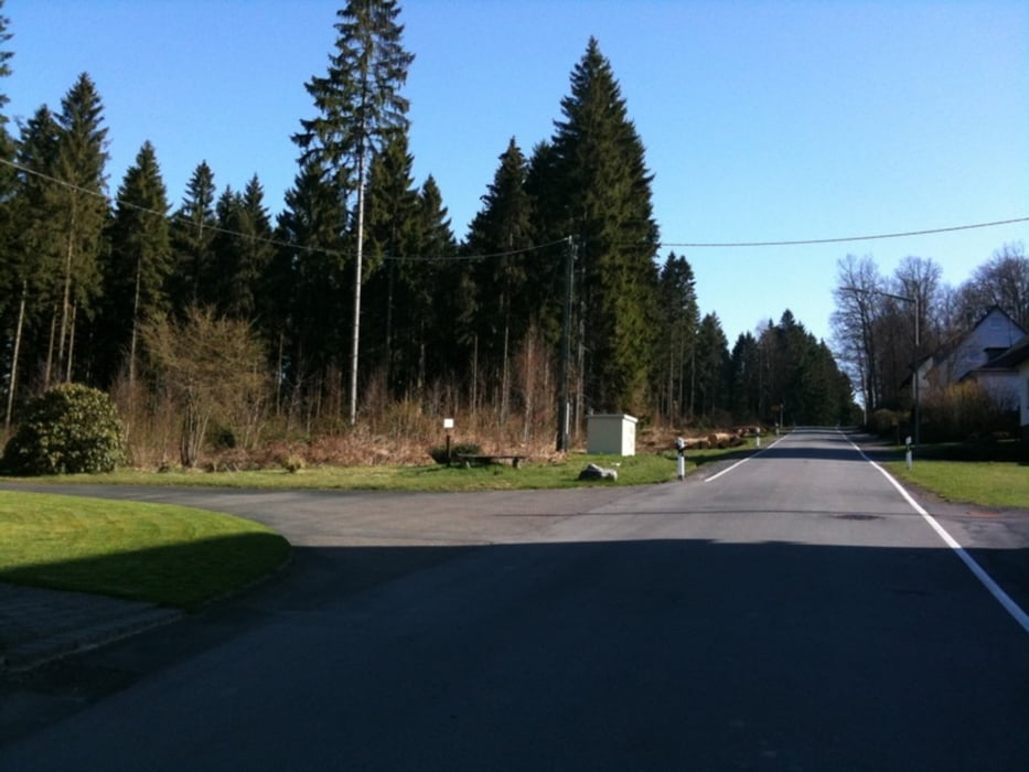
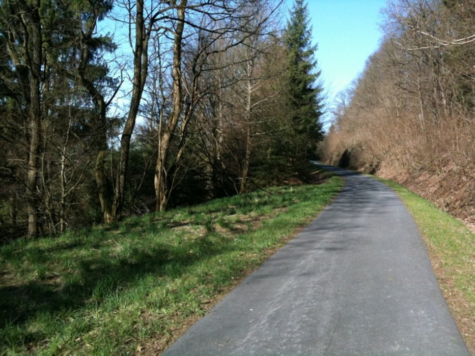
Man fährt in der Stadt, über ausgebaute Landstraßen, Wald-/Radwege mit ausgewogener Steigung und Gefälle.
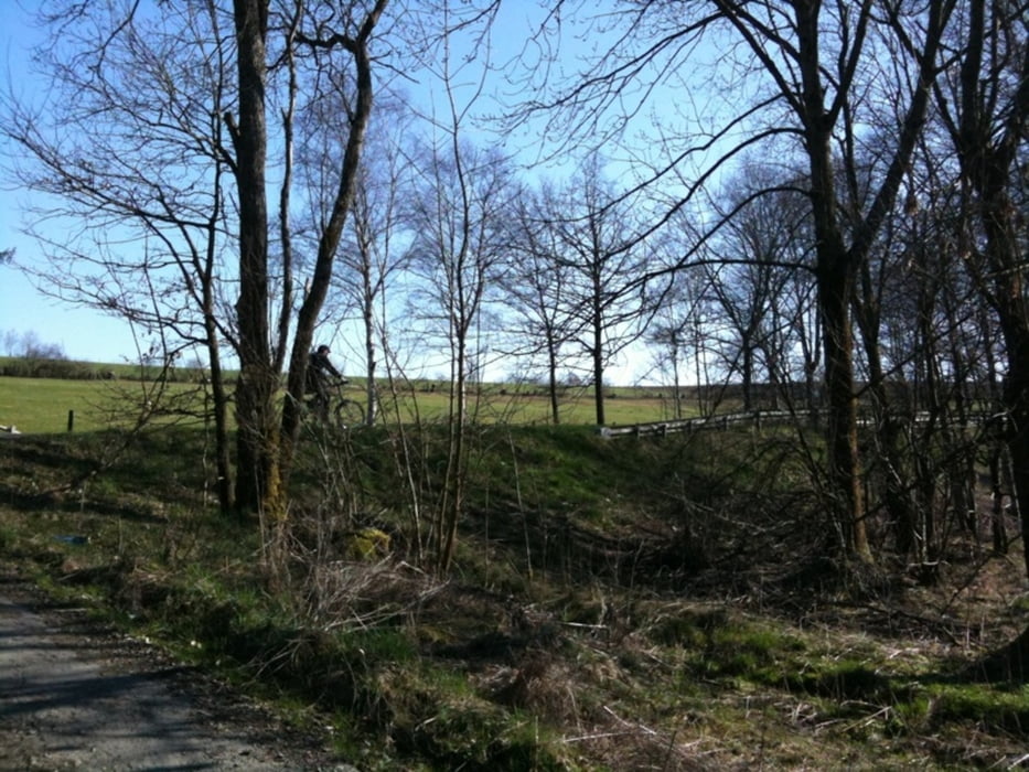
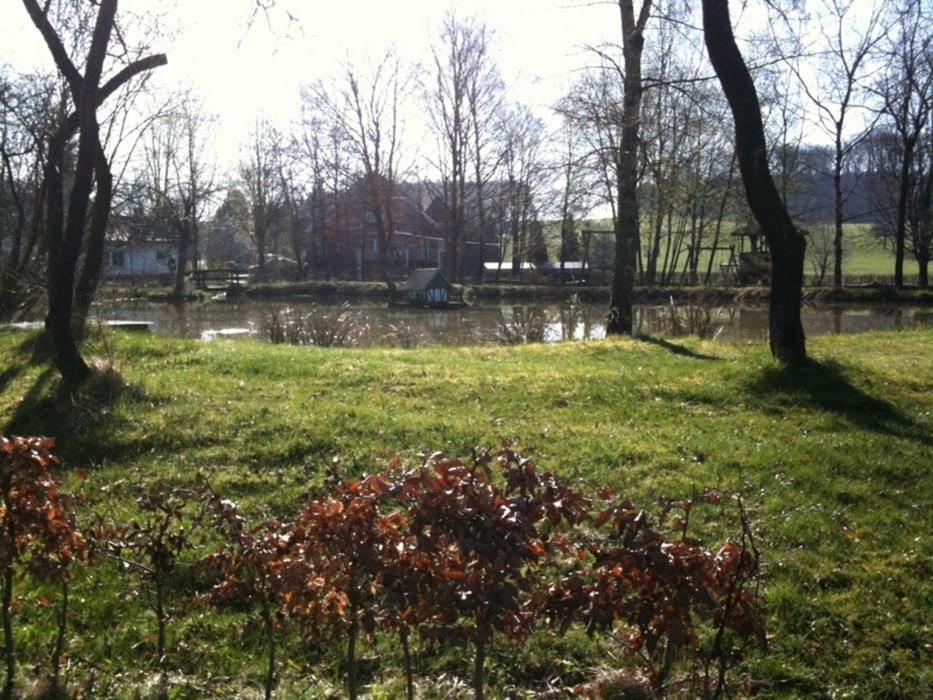
Galeria trasy
Mapa trasy i profil wysokości
Minimum height 317 m
Maximum height 490 m
More about the tour author
|
|
Carino |
Komentarze

Freudenberg ist bequem über die Abfahrt Freudenberg (A45) zu erreichen. Dann in Richtung Freudenberg und an der ersten Ampel (in Freudenberg) links bis mal rechte Hand nach wenigen Minuten das ALDI Süd Schild sieht.
GPS tracks
Trackpoints-
GPX / Garmin Map Source (gpx) download
-
TCX / Garmin Training Center® (tcx) download
-
CRS / Garmin Training Center® (crs) download
-
Google Earth (kml) download
-
G7ToWin (g7t) download
-
TTQV (trk) download
-
Overlay (ovl) download
-
Fugawi (txt) download
-
Kompass (DAV) Track (tk) download
-
Karta trasy (pdf) download
-
Original file of the author (gpx) download
More about the tour author
|
|
Carino |
Add to my favorites
Remove from my favorites
Edit tags
Open track
My score
Rate