Login

Zapomniałeś swój login?

Cookies have to be accepted!
Your browser's cookie functionality is disabled. Please enable this functionality.

Not a member yet?

Register now
Login

Available for registred users only

Log in to use this feature.

Zapomniałeś swój login?

Cookies have to be accepted!
Your browser's cookie functionality is disabled. Please enable this functionality.

Not a member yet?

Register now
Filter
Kategorie
Advanced filters
  • Długość (km)
  • Wysokość
Zapisz filtr Reset filter

TrackRank

QRCode

Technical data

Długość24,5 km Wysokość274 m Way down157 m Czas trwania00:00 h:m Data17.04.2010
Oceny Author Krajobraz Czynnik zadowolenia Kondycja Technika

Statystyka

1404 Widoki Oceny 60 Downloads / Pliki do pobrania Przeciętnie
Rate
  • Karta trasy
  • Dojazd
  • Downloads / Pliki do pobrania

Eine kurze Wanderung war geplant. Highlight dieser Tour ist die Sicht auf die startenden und landenden Flugzeuge des Flughafens Düsseldorf. Danach orientiert sich der Weg am X17 des SGV (Harkortweg) und führt durch ein langgestrecktes Waldgebiet ins Ruhrtal.

Further information at

http://de.wikipedia.org/wiki/Harkortweg

Galeria trasy

Mapa trasy i profil wysokości

  • Open Street Map
  • Google
Minimum height -71 m Maximum height 117 m Widok szczegółowy

More about the tour author

Schiller1963
Member since 2008

Send private message

Komentarze

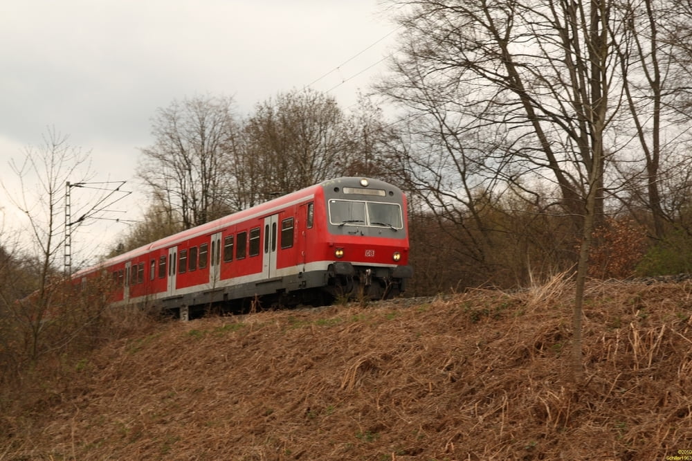
U79 ab Duisburg und Düsseldorf bis Kittelbachstraße oder mit der S6 ab Essen-Kettwig Haltepunk Stausee.

GPS tracks

Trackpoints
  • GPX / Garmin Map Source (gpx) download
  • TCX / Garmin Training Center® (tcx) download
  • CRS / Garmin Training Center® (crs) download
  • Google Earth (kml) download
  • G7ToWin (g7t) download
  • TTQV (trk) download
  • Overlay (ovl) download
  • Fugawi (txt) download
  • Kompass (DAV) Track (tk) download
  • Karta trasy (pdf) download
  • Original file of the author (gpx) download

More about the tour author

Schiller1963
Member since 2008

Send private message
Share track
Add to my favorites
Remove from my favorites
Edit tags
My score
Rate
Trasa: Vom Rhein zur Ruhr: Kaiserswerth nach Kettwig durch den Ratinger Forst
Rodzaj: Wędrówki
Długość: 24,5 km
Evaluated on:
Czas trwania:
Day(s)
Hour(s)
Minute(s)
Ocena: Krajobraz Czynnik zadowolenia Kondycja Technika