Login

Zapomniałeś swój login?

Cookies have to be accepted!
Your browser's cookie functionality is disabled. Please enable this functionality.

Not a member yet?

Register now
Login

Available for registred users only

Log in to use this feature.

Zapomniałeś swój login?

Cookies have to be accepted!
Your browser's cookie functionality is disabled. Please enable this functionality.

Not a member yet?

Register now
Filter
Kategorie
Advanced filters
  • Długość (km)
  • Wysokość
Zapisz filtr Reset filter

TrackRank

QRCode

Technical data

Długość115,8 km Wysokość2713 m Way down2633 m Czas trwania07:49 h:m Data18.04.2010
Oceny Author Krajobraz Czynnik zadowolenia Kondycja Technika

Statystyka

820 Widoki Oceny 27 Downloads / Pliki do pobrania Przeciętnie
Rate
  • Karta trasy
  • Dojazd
  • Downloads / Pliki do pobrania

wieder eine Nordschwarzwaldtour mit Start in Pforzheim AKS 

Stiftung über das Würmtal nach Dillweißenstein, Sonnenberg, Größeltal, Büchenbronnerturm, Pionierweg  ( Westweg ), Neuenbürg, Schwannerwarte, Dobel, Eyachtal, Grünhütte, Kaltenbronn, Hohlohturm, Latschigfelsen und wieder zum Ausgangspunkt nach Pforzheim.

Auf dem Rückweg zwischen Dennach und Neuenbürg muß man die Tour besser gestalten, ich hatte ein kleines Technikproblem und deswegen mußte ich die Straße nehmen. Ansonsten eine schöne Tour. 
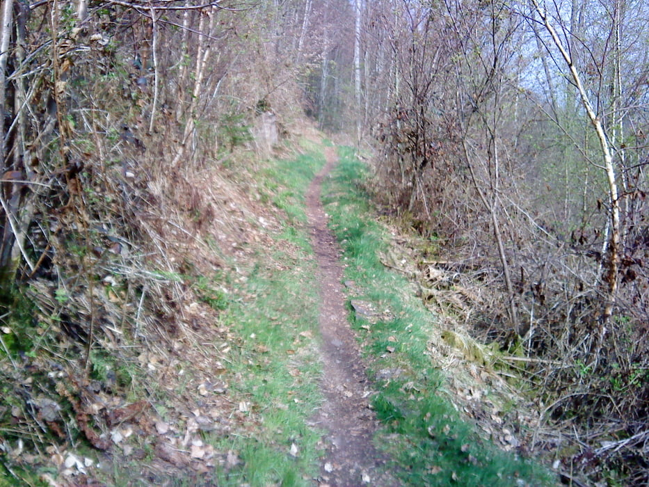
Galeria trasy

Mapa trasy i profil wysokości

  • Open Street Map
  • Google
Minimum height 252 m Maximum height 993 m Widok szczegółowy

More about the tour author

lapierre
Member since 2008

Send private message

Komentarze

GPS tracks

Trackpoints
  • GPX / Garmin Map Source (gpx) download
  • TCX / Garmin Training Center® (tcx) download
  • CRS / Garmin Training Center® (crs) download
  • Google Earth (kml) download
  • G7ToWin (g7t) download
  • TTQV (trk) download
  • Overlay (ovl) download
  • Fugawi (txt) download
  • Kompass (DAV) Track (tk) download
  • Karta trasy (pdf) download
  • Original file of the author (gpx) download

More about the tour author

lapierre
Member since 2008

Send private message
Share track
Add to my favorites
Remove from my favorites
Edit tags
My score
Rate
Trasa: Grünhütte,Hohlohturm,Latschigfelsen
Rodzaj: Rower górski (MTB)
Długość: 115,8 km
Evaluated on:
Czas trwania:
Day(s)
Hour(s)
Minute(s)
Ocena: Krajobraz Czynnik zadowolenia Kondycja Technika