


Tourguide: Skiclub Fröhnd
Start: Fröhnd Halle
- Zell i. W.
- hinter der Fa. Mahle hoch Richtung Gresgen
- Gresgen
- Kopp Hütte
- Pfaffenberg
Ziel: Fröhnd Halle
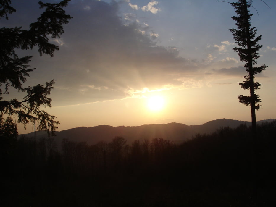
Galeria trasy
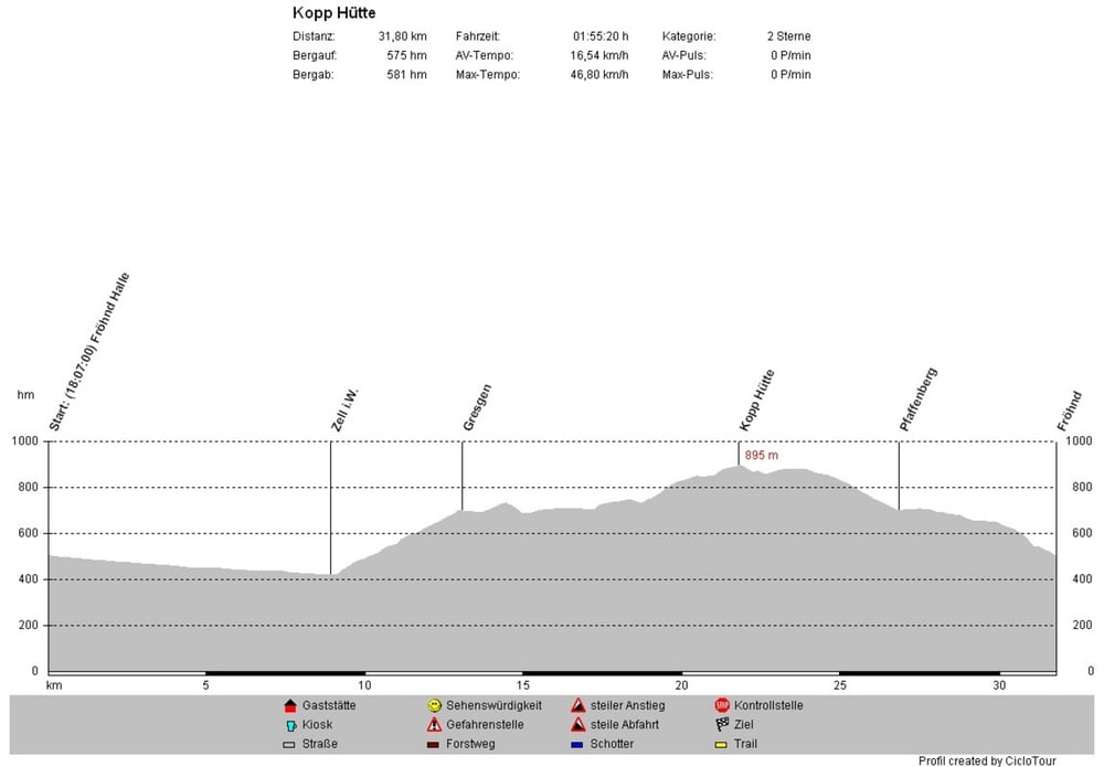


Mapa trasy i profil wysokości
Minimum height 410 m
Maximum height 898 m
More about the tour author
|
|
WeissManuel |
Komentarze

GPS tracks
Trackpoints-
GPX / Garmin Map Source (gpx) download
-
TCX / Garmin Training Center® (tcx) download
-
CRS / Garmin Training Center® (crs) download
-
Google Earth (kml) download
-
G7ToWin (g7t) download
-
TTQV (trk) download
-
Overlay (ovl) download
-
Fugawi (txt) download
-
Kompass (DAV) Track (tk) download
-
Karta trasy (pdf) download
-
Original file of the author (gpx) download
More about the tour author
|
|
WeissManuel |
Add to my favorites
Remove from my favorites
Edit tags
Open track
My score
Rate