Login

Zapomniałeś swój login?

Cookies have to be accepted!
Your browser's cookie functionality is disabled. Please enable this functionality.

Not a member yet?

Register now
Login

Available for registred users only

Log in to use this feature.

Zapomniałeś swój login?

Cookies have to be accepted!
Your browser's cookie functionality is disabled. Please enable this functionality.

Not a member yet?

Register now
Filter
Kategorie
Advanced filters
  • Długość (km)
  • Wysokość
Zapisz filtr Reset filter

TrackRank

QRCode

Technical data

Długość35,3 km Wysokość1221 m Way down1183 m Czas trwania06:30 h:m Data24.04.2010
Oceny Author Krajobraz Czynnik zadowolenia Kondycja Technika

Statystyka

1175 Widoki Oceny 143 Downloads / Pliki do pobrania Przeciętnie
Rate
  • Karta trasy
  • Dojazd
  • Downloads / Pliki do pobrania

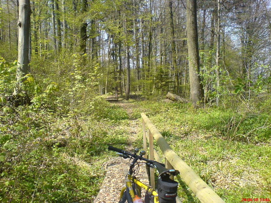
Mit super Singel Trail vom Uetliberg richtung Zürich Tal.

Mapa trasy i profil wysokości

  • Open Street Map
  • Google
Minimum height 431 m Maximum height 943 m Widok szczegółowy

More about the tour author

olipeh
Member since 2008

Send private message

Komentarze

Auf der Tour ist ein kleines Stück bergauf, wo mann das Velo leider nur tragen kann.(sehr mühsam) aber nach dieser Tortur geht es auf dem Singeltrail Richtung Zürich Tal.

GPS tracks

Trackpoints
  • GPX / Garmin Map Source (gpx) download
  • TCX / Garmin Training Center® (tcx) download
  • CRS / Garmin Training Center® (crs) download
  • Google Earth (kml) download
  • G7ToWin (g7t) download
  • TTQV (trk) download
  • Overlay (ovl) download
  • Fugawi (txt) download
  • Kompass (DAV) Track (tk) download
  • Karta trasy (pdf) download
  • Original file of the author (gpx) download

More about the tour author

olipeh
Member since 2008

Send private message
Share track
Add to my favorites
Remove from my favorites
Edit tags
My score
Rate
Trasa: Uetliberg
Rodzaj: Rower górski (MTB)
Długość: 35,3 km
Evaluated on:
Czas trwania:
Day(s)
Hour(s)
Minute(s)
Ocena: Krajobraz Czynnik zadowolenia Kondycja Technika