


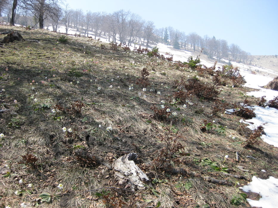
Vom Parkplatz Küpfern geht es zuerst auf hauptsächlich Forststrassen ca. 600 HM zur Stallburgalm. Von dort dann hoch durch den Wald über schöne Wiesen zum ersten Gipfel dem Burgspitz mit 1429m. Mit kleinen auf und ab's weiter zum kleinen Almkogel und dann runter zur Ennser Hütte. Nach kurzem Abstieg geht's dann dem GRat entlang und durch den Wald rauf zum Gamsstein (1275m). Ab jetzt gehts nur noch bergab zur Gschwendtalm und weiter zum Parkplatz Gschwendthäusl.
Galeria trasy
Mapa trasy i profil wysokości
Minimum height 382 m
Maximum height 1467 m
More about the tour author
|
|
qt00730 |
Komentarze

Wenn man nur eine Richtung gehen will braucht man zwei Autos oder ein Taxi was einen zum Ausgangspunkt zurückfährt. Starten kann man vom Parklatz Küpfern oder in die andere Richtung vom Parkplatz Gschwendthäusl im Lumpigraben.
GPS tracks
Trackpoints-
GPX / Garmin Map Source (gpx) download
-
TCX / Garmin Training Center® (tcx) download
-
CRS / Garmin Training Center® (crs) download
-
Google Earth (kml) download
-
G7ToWin (g7t) download
-
TTQV (trk) download
-
Overlay (ovl) download
-
Fugawi (txt) download
-
Kompass (DAV) Track (tk) download
-
Karta trasy (pdf) download
-
Original file of the author (gpx) download
More about the tour author
|
|
qt00730 |
Add to my favorites
Remove from my favorites
Edit tags
Open track
My score
Rate