Login

Zapomniałeś swój login?

Cookies have to be accepted!
Your browser's cookie functionality is disabled. Please enable this functionality.

Not a member yet?

Register now
Login

Available for registred users only

Log in to use this feature.

Zapomniałeś swój login?

Cookies have to be accepted!
Your browser's cookie functionality is disabled. Please enable this functionality.

Not a member yet?

Register now
Filter
Kategorie
Advanced filters
  • Długość (km)
  • Wysokość
Zapisz filtr Reset filter

TrackRank

QRCode

Technical data

Długość42,3 km Wysokość93 m Way down93 m Czas trwania00:00 h:m Data25.04.2010
Oceny Author Krajobraz Czynnik zadowolenia Kondycja Technika

Statystyka

1317 Widoki 1 Ocena 50 Downloads / Pliki do pobrania 4.00 Przeciętnie
Rate
  • Karta trasy
  • Dojazd
  • Downloads / Pliki do pobrania

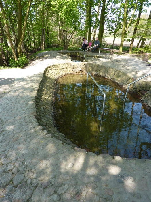
Schöne Radtour durch Bauernschaften bis Velen. Nach einem kleinen Imbiss oder Eis zurück nach Coesfeld. Interessanter Zwischenstop ist der Artesische Brunnen, ein schön angelegtes Wassertretbecken.

Galeria trasy

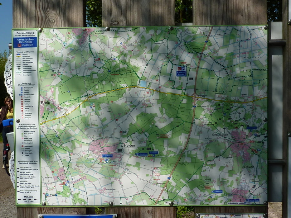
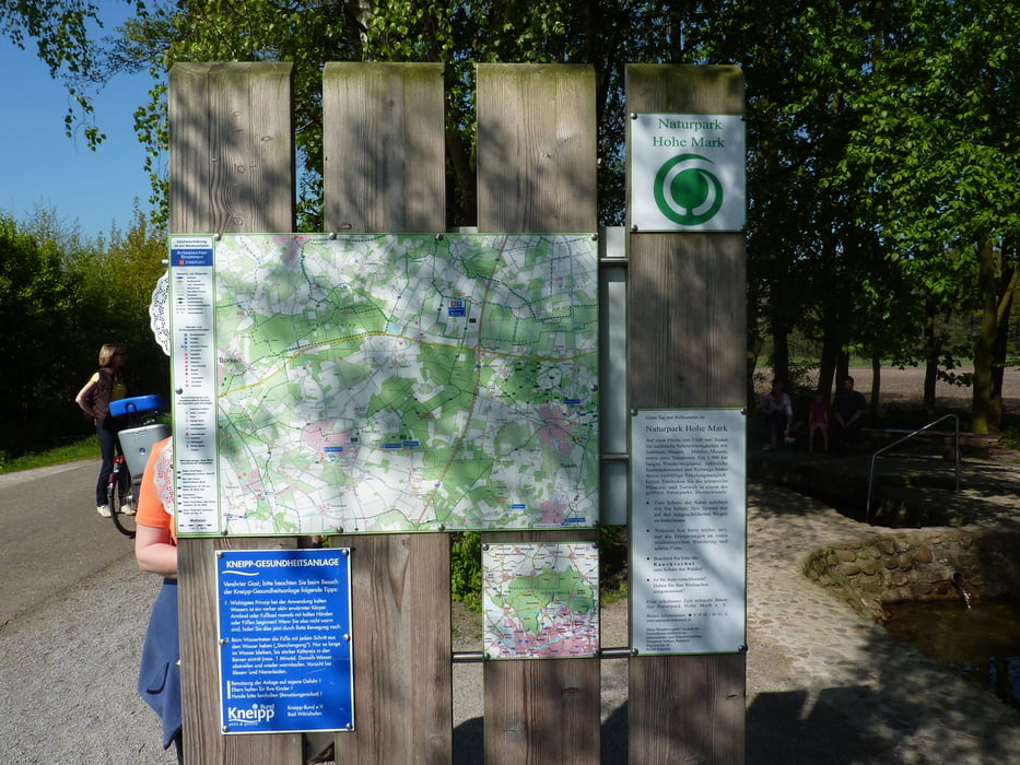
Mapa trasy i profil wysokości

  • Open Street Map
  • Google
Minimum height 52 m Maximum height 83 m Widok szczegółowy

More about the tour author

langerlinux
Member since 2009

Send private message

Komentarze

GPS tracks

Trackpoints
  • GPX / Garmin Map Source (gpx) download
  • TCX / Garmin Training Center® (tcx) download
  • CRS / Garmin Training Center® (crs) download
  • Google Earth (kml) download
  • G7ToWin (g7t) download
  • TTQV (trk) download
  • Overlay (ovl) download
  • Fugawi (txt) download
  • Kompass (DAV) Track (tk) download
  • Karta trasy (pdf) download
  • Original file of the author (gpx) download

More about the tour author

langerlinux
Member since 2009

Send private message
Share track
Add to my favorites
Remove from my favorites
Edit tags
My score
Rate
Trasa: Coesfeld Velen Coesfeld
Rodzaj: Trasy rowerowe
Długość: 42,3 km
Evaluated on:
Czas trwania:
Day(s)
Hour(s)
Minute(s)
Ocena: Krajobraz Czynnik zadowolenia Kondycja Technika