

Parkplatz mitten im Ort Attersee
Rechts Richtung St.Georgen zum Kronberg.In den Wald hinein und es geht gleich steil bergauf.
Dann Asphalt zur Kapelle des Kronbergs und gleich wieder in den Wald.
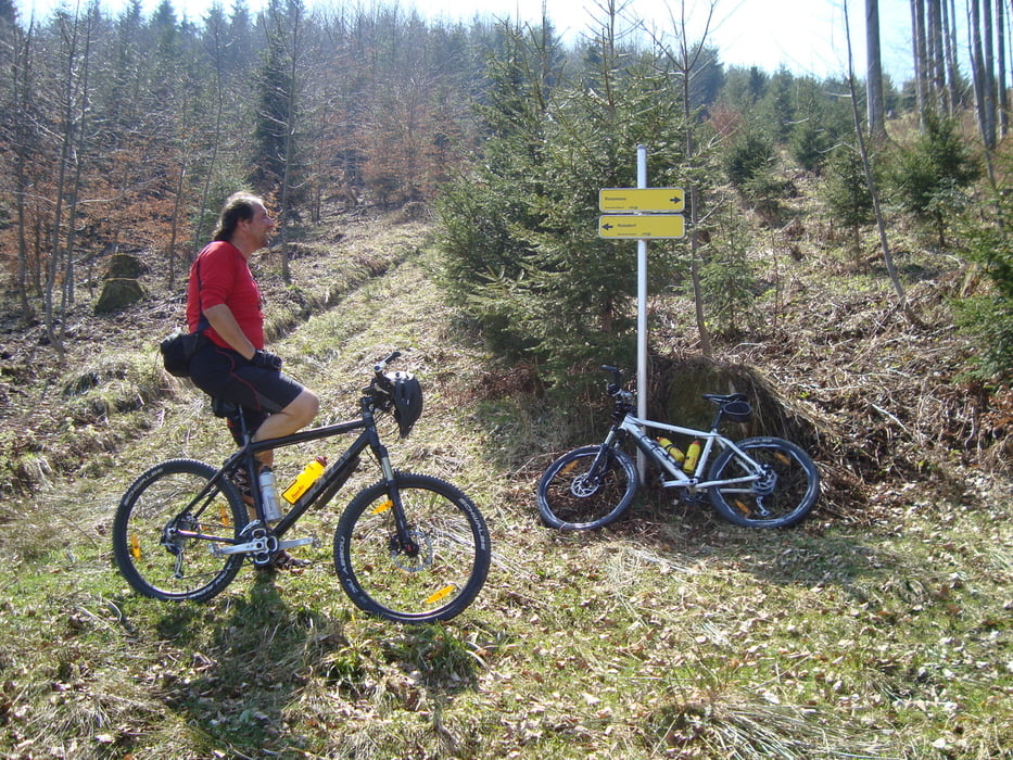
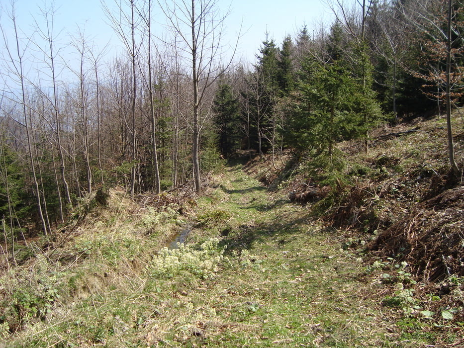
Sehr schöne Landschaft und ca.40min. schieben.Die Abfahrt währe super gewesen, bei uns war der Weg aber durch Forstmaschinen zerstört und somit wieder schieben ...
Abfahrt nach Oberwang (wegen der schlechten Pistn) und entlang des Monsees und Attersees wieder zurück zum Auto.
Trotzdem eine sehr schöne Tour auf jeden Fall zum wieder fahren.
Mehr Bilder unter: seppdepp.heim.at
Galeria trasy


Mapa trasy i profil wysokości
Minimum height 472 m
Maximum height 1020 m
More about the tour author
|
|
Atzbach |
Komentarze

GPS tracks
Trackpoints-
GPX / Garmin Map Source (gpx) download
-
TCX / Garmin Training Center® (tcx) download
-
CRS / Garmin Training Center® (crs) download
-
Google Earth (kml) download
-
G7ToWin (g7t) download
-
TTQV (trk) download
-
Overlay (ovl) download
-
Fugawi (txt) download
-
Kompass (DAV) Track (tk) download
-
Karta trasy (pdf) download
-
Original file of the author (gpx) download
More about the tour author
|
|
Atzbach |
Add to my favorites
Remove from my favorites
Edit tags
Open track
My score
Rate