Login

Zapomniałeś swój login?

Cookies have to be accepted!
Your browser's cookie functionality is disabled. Please enable this functionality.

Not a member yet?

Register now
Login

Available for registred users only

Log in to use this feature.

Zapomniałeś swój login?

Cookies have to be accepted!
Your browser's cookie functionality is disabled. Please enable this functionality.

Not a member yet?

Register now
Filter
Kategorie
Advanced filters
  • Długość (km)
  • Wysokość
Zapisz filtr Reset filter

TrackRank

QRCode

Technical data

Długość13,8 km Wysokość295 m Way down306 m Czas trwania00:00 h:m Data26.04.2010
Oceny Author Krajobraz Czynnik zadowolenia Kondycja Technika

Statystyka

998 Widoki Oceny 40 Downloads / Pliki do pobrania Przeciętnie
Rate
  • Karta trasy
  • Dojazd
  • Downloads / Pliki do pobrania

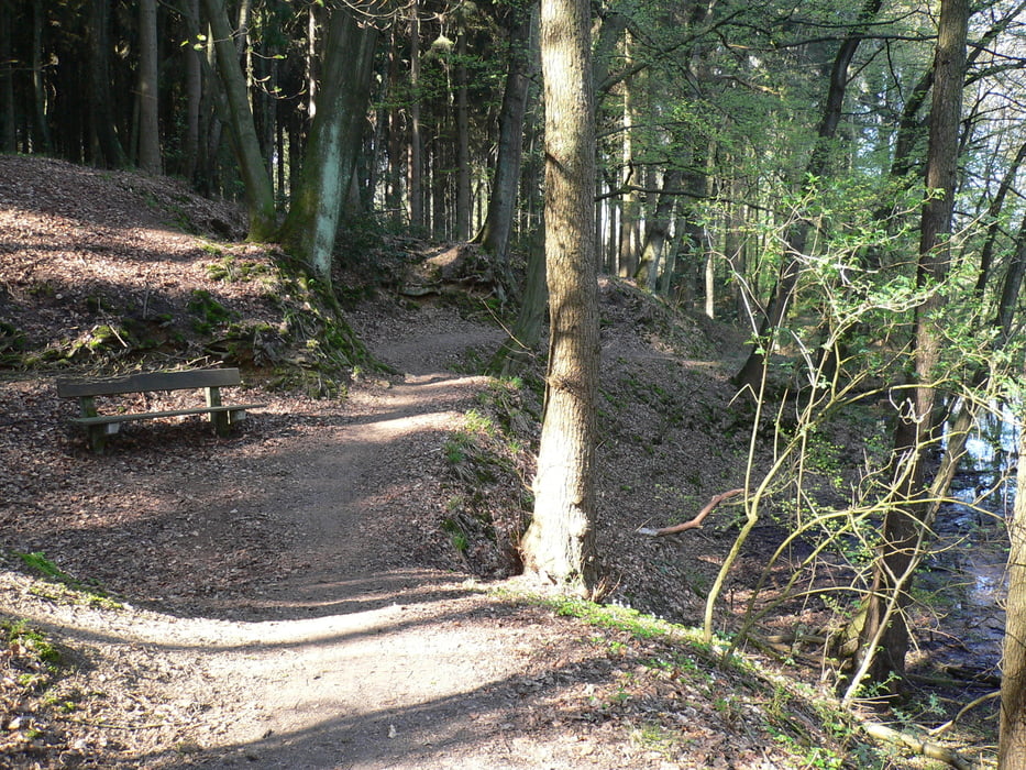
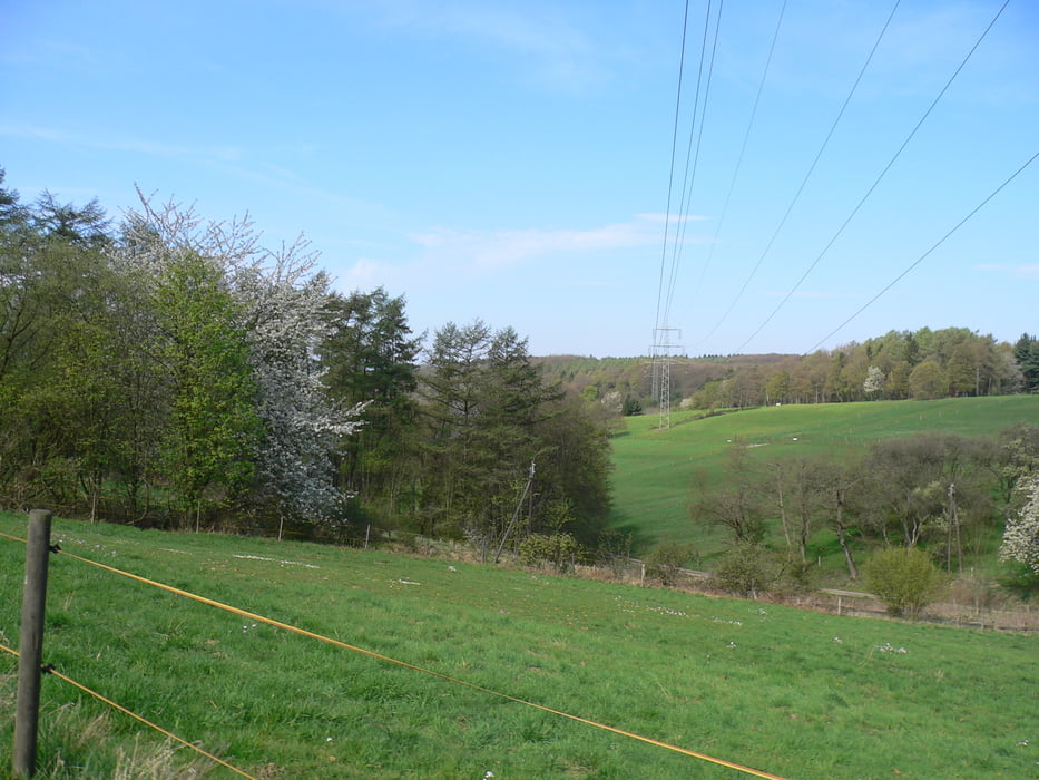
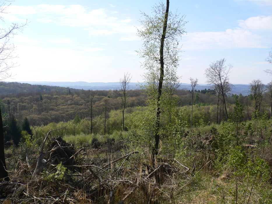
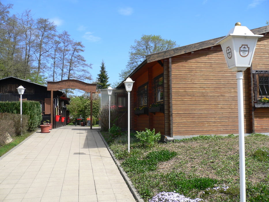
Die kleine Rinde um den Arenberg beginnt an der Ardeyer Golfhütte. Einem schönen Minigolfplatz. Nach einem kurzen Anstieg geht es Richtung der „Drei Teiche“. Weiter Richtung Herdecke Ende und über eine Schleife um en Arenberg in das Borbachtal. Das Ende dieser kurzen Tour geniest man in der Minigolfanlage. Leckeres Essen und sehr nette Bedienung laden zum verweilen ein.

Galeria trasy

Mapa trasy i profil wysokości

  • Open Street Map
  • Google
Minimum height 148 m Maximum height 269 m Widok szczegółowy

More about the tour author

Speciman
Member since 2009

Send private message

Komentarze

GPS tracks

Trackpoints
  • GPX / Garmin Map Source (gpx) download
  • TCX / Garmin Training Center® (tcx) download
  • CRS / Garmin Training Center® (crs) download
  • Google Earth (kml) download
  • G7ToWin (g7t) download
  • TTQV (trk) download
  • Overlay (ovl) download
  • Fugawi (txt) download
  • Kompass (DAV) Track (tk) download
  • Karta trasy (pdf) download
  • Original file of the author (gpx) download

More about the tour author

Speciman
Member since 2009

Send private message
Share track
Add to my favorites
Remove from my favorites
Edit tags
My score
Rate
Trasa: Witten um den Arenberg
Rodzaj: Rower górski (MTB)
Długość: 13,8 km
Evaluated on:
Czas trwania:
Day(s)
Hour(s)
Minute(s)
Ocena: Krajobraz Czynnik zadowolenia Kondycja Technika