Login

Zapomniałeś swój login?

Cookies have to be accepted!
Your browser's cookie functionality is disabled. Please enable this functionality.

Not a member yet?

Register now
Login

Available for registred users only

Log in to use this feature.

Zapomniałeś swój login?

Cookies have to be accepted!
Your browser's cookie functionality is disabled. Please enable this functionality.

Not a member yet?

Register now
Filter
Kategorie
Advanced filters
  • Długość (km)
  • Wysokość
Zapisz filtr Reset filter

TrackRank

QRCode

Technical data

Długość46,3 km Wysokość614 m Way down614 m Czas trwania00:00 h:m Data27.04.2010
Oceny Author Krajobraz Czynnik zadowolenia Kondycja Technika

Statystyka

1035 Widoki Oceny 98 Downloads / Pliki do pobrania Przeciętnie
Rate
  • Karta trasy
  • Dojazd
  • Downloads / Pliki do pobrania

Mountainbike von Landshut, Schönbrunn am Isarradweg über die Gebiete der Gemeinden  Niederaichbach und Adlkofen mit 4 bayerischen Wirtshäusern. Die ideale Maibaumrunde.

Gasthaus zum Felix in Pattendorf - Freitag Samstag, Sonntag

Gasthaus Schaidhammer in Günzkofen - Sonntag

Gasthaus Rabauer in Weihbüchel - Sonntags und Feiertag

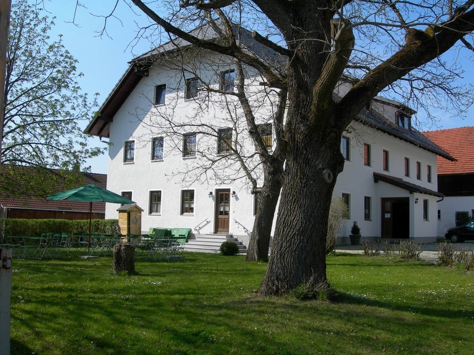
Tafernwirtschaft Schloss Schönbrunn (Augustiner) - kein Ruhetag
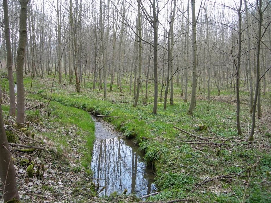
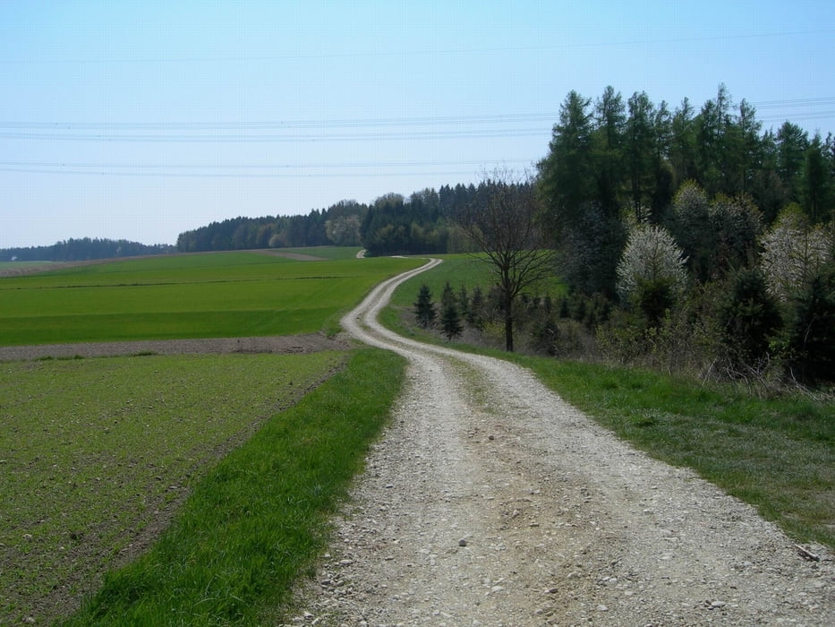
 

Galeria trasy

Mapa trasy i profil wysokości

  • Open Street Map
  • Google
Minimum height 362 m Maximum height 511 m Widok szczegółowy

More about the tour author

Ready522

Komentarze

Tourstart Augustiner Schloss Schönbrunn - gegenüber Messepark

GPS tracks

Trackpoints
  • GPX / Garmin Map Source (gpx) download
  • TCX / Garmin Training Center® (tcx) download
  • CRS / Garmin Training Center® (crs) download
  • Google Earth (kml) download
  • G7ToWin (g7t) download
  • TTQV (trk) download
  • Overlay (ovl) download
  • Fugawi (txt) download
  • Kompass (DAV) Track (tk) download
  • Karta trasy (pdf) download
  • Original file of the author (gpx) download

More about the tour author

Ready522

Share track
Add to my favorites
Remove from my favorites
Edit tags
My score
Rate
Trasa: Landshut-Pattendorf
Rodzaj: Rower górski (MTB)
Długość: 46,3 km
Evaluated on:
Czas trwania:
Day(s)
Hour(s)
Minute(s)
Ocena: Krajobraz Czynnik zadowolenia Kondycja Technika