

Für uns war es eine sehr schöne Tour. Startpunkt war am Eck und wir haben uns dann die einzelnen Gipfel erkämpft. Der ein oder andere Anstieg war schon etwas anstrengend, aber nach 9h waren wir dann auch an der Talststion vom großen Arber angekommen. Den einzigen Gipfelaufsteig den wir uns gespart haben war der kleine Arber. Da hatten wir keine Lust mehr :-)
Für Geocacher ist diese Tour sehr zu empfehlen da einige Caches auf dem Weg liegen.
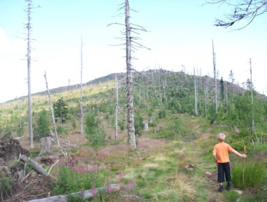
Wir das bin ich :-) und zum damaliegen Zeipunkt 8 Jahre alter Sohn.
Wir fahren dieses Jahr wieder dorthin und machen die gleiche Tour noch einmal. mit dem Unterschied das wir auf den kleinen Arber gehen und .. eventuell über die Risslochfälle nach Bodenmais runter gehen.
Galeria trasy


Mapa trasy i profil wysokości
Minimum height 818 m
Maximum height 1433 m
More about the tour author

|
morewind2000 |
Komentarze

GPS tracks
Trackpoints-
GPX / Garmin Map Source (gpx) download
-
TCX / Garmin Training Center® (tcx) download
-
CRS / Garmin Training Center® (crs) download
-
Google Earth (kml) download
-
G7ToWin (g7t) download
-
TTQV (trk) download
-
Overlay (ovl) download
-
Fugawi (txt) download
-
Kompass (DAV) Track (tk) download
-
Karta trasy (pdf) download
-
Original file of the author (gpx) download
More about the tour author
|
|
morewind2000 |
Add to my favorites
Remove from my favorites
Edit tags
Open track
My score
Rate