Login

Zapomniałeś swój login?

Cookies have to be accepted!
Your browser's cookie functionality is disabled. Please enable this functionality.

Not a member yet?

Register now
Login

Available for registred users only

Log in to use this feature.

Zapomniałeś swój login?

Cookies have to be accepted!
Your browser's cookie functionality is disabled. Please enable this functionality.

Not a member yet?

Register now
Filter
Kategorie
Advanced filters
  • Długość (km)
  • Wysokość
Zapisz filtr Reset filter

TrackRank

QRCode

Technical data

Długość25,5 km Wysokość569 m Way down570 m Czas trwania02:00 h:m Data29.04.2010
Oceny Author User Krajobraz Czynnik zadowolenia Kondycja Technika

Statystyka

324 Widoki 1 Ocena 58 Downloads / Pliki do pobrania 2.00 Przeciętnie
Rate
  • Karta trasy
  • Dojazd
  • Downloads / Pliki do pobrania

Start in Imst und auf dem Inntalradweg nach Schönwies. Dort über die Landesstrasse nach Imstberg und weiter hinauf nach Hinterspadegg -Vorderspadegg. Nochmals ein Stück auf der Strasse hinauf Richtung Venetalm. Auf Forstweg wieder hinunter nach Hinterhöfle und weiter zur Dorfkirche. Weitere Abfahrt bis zum Bahnhof und zurück nach Imst über die Gschnallenhöfe.
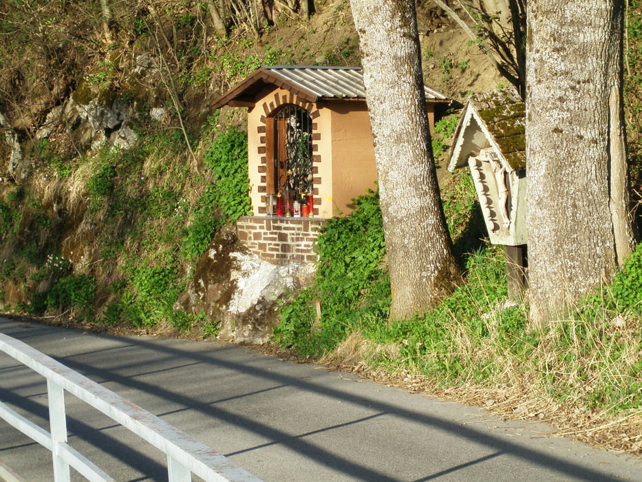
Galeria trasy

Mapa trasy i profil wysokości

  • Open Street Map
  • Google
Minimum height 715 m Maximum height 1140 m Widok szczegółowy

More about the tour author

simplon73
Member since 2009

Send private message

Komentarze

GPS tracks

Trackpoints
  • GPX / Garmin Map Source (gpx) download
  • TCX / Garmin Training Center® (tcx) download
  • CRS / Garmin Training Center® (crs) download
  • Google Earth (kml) download
  • G7ToWin (g7t) download
  • TTQV (trk) download
  • Overlay (ovl) download
  • Fugawi (txt) download
  • Kompass (DAV) Track (tk) download
  • Karta trasy (pdf) download
  • Original file of the author (gpx) download

More about the tour author

simplon73
Member since 2009

Send private message
Share track
Add to my favorites
Remove from my favorites
Edit tags
My score
Rate
Trasa: Imsterberg
Rodzaj: Rower górski (MTB)
Długość: 25,5 km
Evaluated on:
Czas trwania:
Day(s)
Hour(s)
Minute(s)
Ocena: Krajobraz Czynnik zadowolenia Kondycja Technika