Login

Zapomniałeś swój login?

Cookies have to be accepted!
Your browser's cookie functionality is disabled. Please enable this functionality.

Not a member yet?

Register now
Login

Available for registred users only

Log in to use this feature.

Zapomniałeś swój login?

Cookies have to be accepted!
Your browser's cookie functionality is disabled. Please enable this functionality.

Not a member yet?

Register now
Filter
Kategorie
Advanced filters
  • Długość (km)
  • Wysokość
Zapisz filtr Reset filter

TrackRank

QRCode

Technical data

Długość23,0 km Wysokość326 m Way down290 m Czas trwania03:00 h:m Data30.04.2010
Oceny Author Krajobraz Czynnik zadowolenia Kondycja Technika

Statystyka

514 Widoki Oceny 70 Downloads / Pliki do pobrania Przeciętnie
Rate
  • Karta trasy
  • Dojazd
  • Downloads / Pliki do pobrania


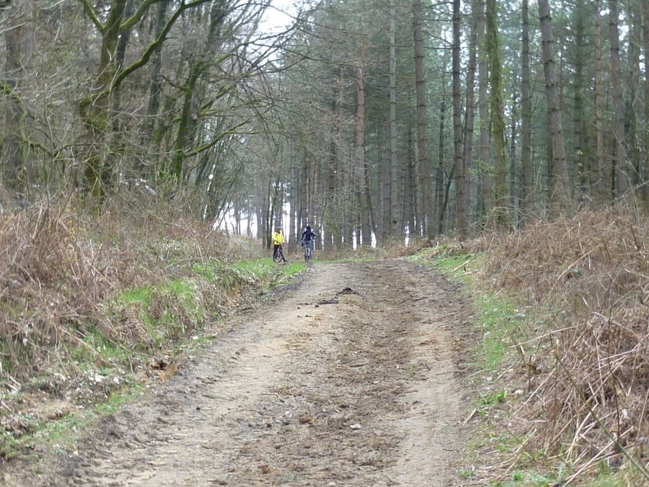
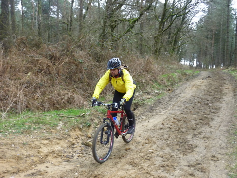
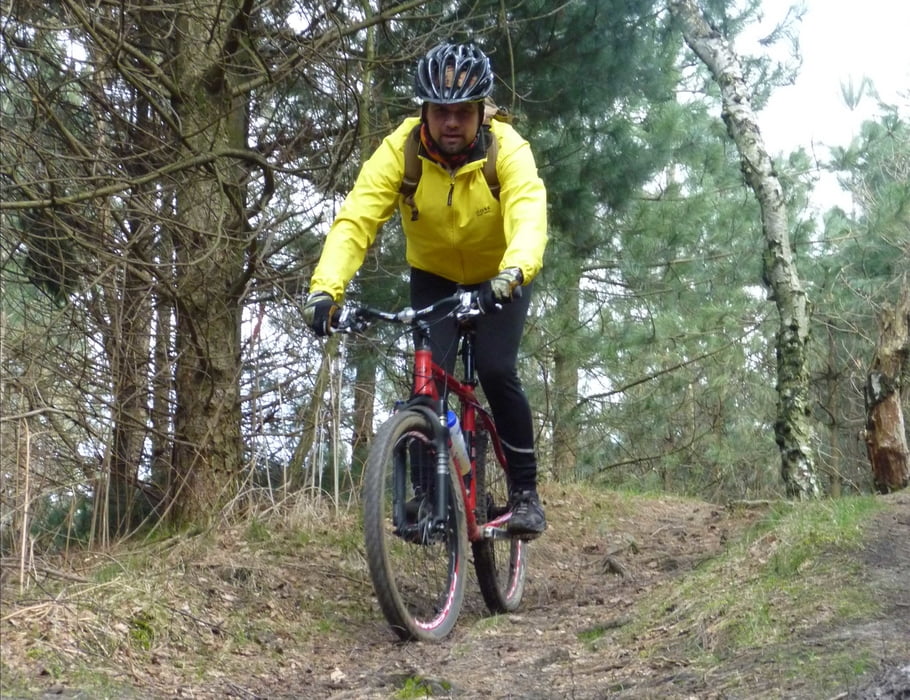
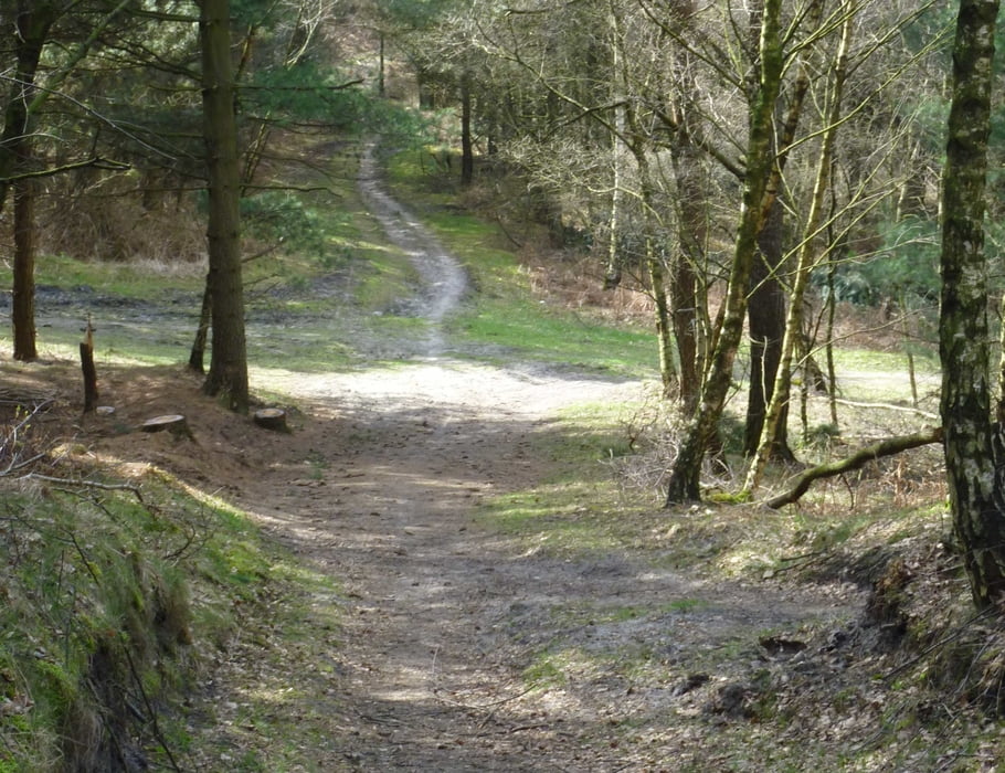
Ein Bike Revier das einlädt die vielseitigen Wege zu erkunden. Die zum Teil steilen Anstiege werden aber auch durch den eine oder anderen schönen, wie auch anspruchsvollen Trail belohnt. Selbst die Forstwege machen Spaß, zu fahren und für das Leibliche Wohl ist auch überall gesorgt zb bei Mutter Werner.


Further information at

http://de.wikipedia.org/wiki/Haard

Galeria trasy

Mapa trasy i profil wysokości

  • Open Street Map
  • Google
Minimum height 19 m Maximum height 142 m Widok szczegółowy

More about the tour author

stefaneickhoff
Member since 2008

Send private message

Komentarze

GPS tracks

Trackpoints
  • GPX / Garmin Map Source (gpx) download
  • TCX / Garmin Training Center® (tcx) download
  • CRS / Garmin Training Center® (crs) download
  • Google Earth (kml) download
  • G7ToWin (g7t) download
  • TTQV (trk) download
  • Overlay (ovl) download
  • Fugawi (txt) download
  • Kompass (DAV) Track (tk) download
  • Karta trasy (pdf) download
  • Original file of the author (gpx) download

More about the tour author

stefaneickhoff
Member since 2008

Send private message
Share track
Add to my favorites
Remove from my favorites
Edit tags
My score
Rate
Trasa: Biken in der Haard
Rodzaj: Rower górski (MTB)
Długość: 23,0 km
Evaluated on:
Czas trwania:
Day(s)
Hour(s)
Minute(s)
Ocena: Krajobraz Czynnik zadowolenia Kondycja Technika