
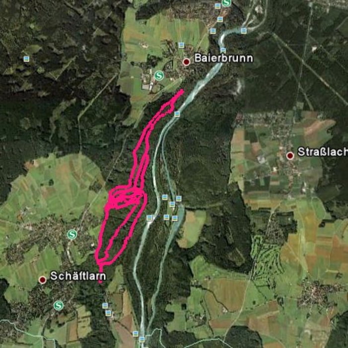

Die Tour startet man am besten von einem Parkplatz um das Kloster Schäftlarn oder umgekehrt an der Gründwalder Brücke.
Sie besteht zu 80% aus Trails. Für die Region ist das Höhenprofil dank des Schäftlarner Bergs recht abwechslungsreich.
Mehr Downhillfeeling ist an der Isar wahrscheinlich nicht möglich (-:
Für eine schnelle Runde ist die Tour uneingeschränkt empfehlenswert, zumal sie für meinen Geschmack, die besten und abwechlungsreichsten Isartrails beinhaltet.
Je nach Zeit, kombiniert man sie am besten mit anderen Touren in der Gegend.
Mapa trasy i profil wysokości
Minimum height 570 m
Maximum height 680 m
More about the tour author
|
|
funsportler |
Komentarze

Von München kommend:
A95 richtung Garmisch, Ausfahrt Schäftlarn bis kurz vor das gleichnamige Kloster.
GPS tracks
Trackpoints-
GPX / Garmin Map Source (gpx) download
-
TCX / Garmin Training Center® (tcx) download
-
CRS / Garmin Training Center® (crs) download
-
Google Earth (kml) download
-
G7ToWin (g7t) download
-
TTQV (trk) download
-
Overlay (ovl) download
-
Fugawi (txt) download
-
Kompass (DAV) Track (tk) download
-
Karta trasy (pdf) download
-
Original file of the author (gpx) download
More about the tour author
|
|
funsportler |
Add to my favorites
Remove from my favorites
Edit tags
Open track
My score
Rate