


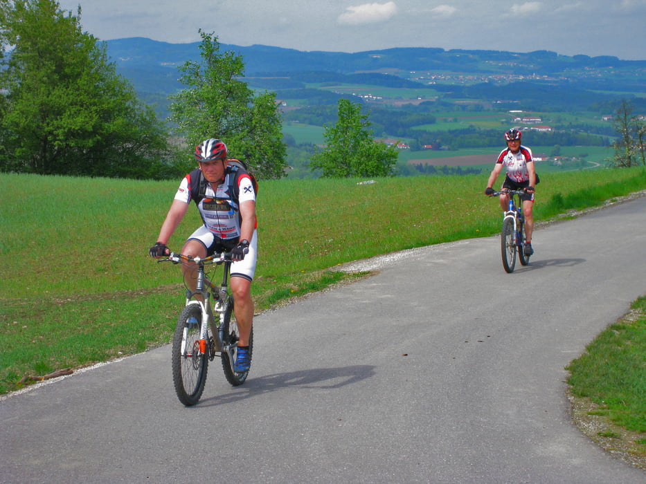
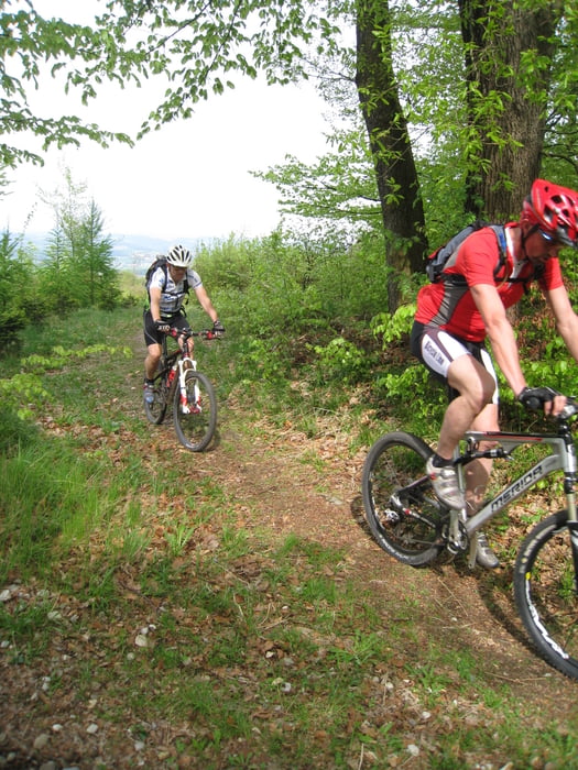
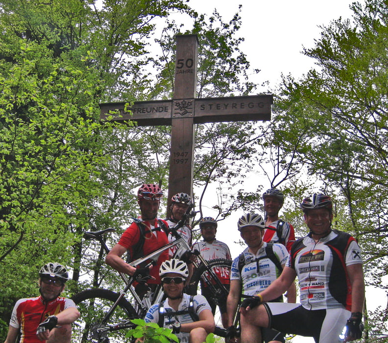
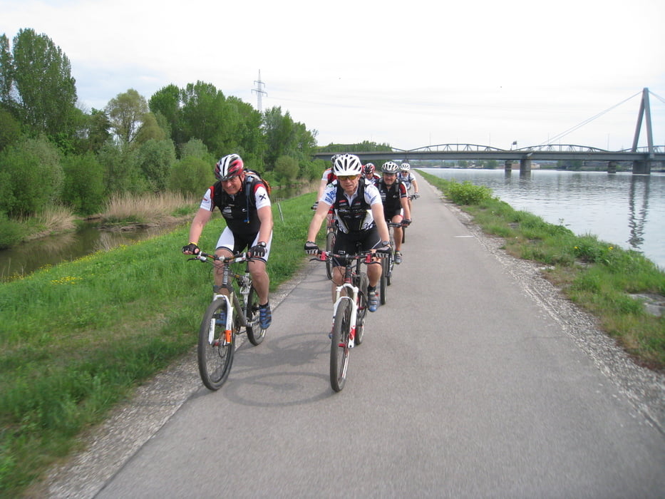
Die Tour startet in Untergeng, zuerst bergauf durch den Schauerwald nach Hellmonsödt. Weiter geht es am 160 er Weg bis nach Oberwinkel, von dort nach Altenberg. Über schönen Wegen geht es nach Kulm und über Niederkulm nach Innertreffling wo wir die A 7 überqueren. Über Lachstatt geht es auf den Pfenningberg Gipfel. Beim Daxleitener besteht die Möglichkeit für eine kurze Rast. Der folgende Trail nach Steyregg ist schön flowig. Über den Donauradweg biken wir nach Urfahr, von dort bezwingen wir über den Bachlberg die Gis und über Trails erreichen wir wieder den Ausgangspunkt.
Galeria trasy
Mapa trasy i profil wysokości
Minimum height 258 m
Maximum height 858 m
More about the tour author
|
|
andidandi |
Komentarze

GPS tracks
Trackpoints-
GPX / Garmin Map Source (gpx) download
-
TCX / Garmin Training Center® (tcx) download
-
CRS / Garmin Training Center® (crs) download
-
Google Earth (kml) download
-
G7ToWin (g7t) download
-
TTQV (trk) download
-
Overlay (ovl) download
-
Fugawi (txt) download
-
Kompass (DAV) Track (tk) download
-
Karta trasy (pdf) download
-
Original file of the author (gpx) download
More about the tour author
|
|
andidandi |
Add to my favorites
Remove from my favorites
Edit tags
Open track
My score
Rate