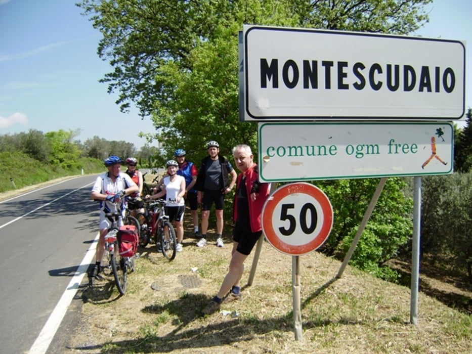
Wir starten und enden von unserer FW nahe Bibbona aus. Es geht noch mal nach Cecina hinein, durch die schönen Pinienwälder fahren wir an den weißen Strand von Vada. Großräumig umfahren wir weiterhin Cecina. Hier ist trotzdem relativ viel Verkehr! Nach der Autobahnauffahrt wird es ruhiger für uns aber es geht auch bergauf. Über Montescudaio erreichen wir Guardistallo. Dort essen wir zu Mittag im von unserem Hausverwalter Allesandro empfohlenen Ostaria Pinzagrillo. Uns gefällt das typisch toskanische Lokal so gut das wir es gleich für den Abend zum Abschiedsessen reservieren.
Der am 30.04.2010 gefahrene Track ist fehlerkorrrigiert!
Ich empfehle die 1:200000 Karte Toskana von Marco Polo mitzuführen!
AVs 20 Km/h - max. Spd. 60 Km/h - Pausenzeit 02:45 h zusätzlich.
944-99-21072018
Further information at
http://www.schenie.deGaleria trasy
Mapa trasy i profil wysokości
Komentarze

Aus meinem Tagebuch:
Sehenswert:
Einkehrmöglichkeit:
Schlußworte:
Radtechnik: TREK8000
GPS: Garmin Etrex Vista HCX
944-99-21072018
GPS tracks
Trackpoints-
GPX / Garmin Map Source (gpx) download
-
TCX / Garmin Training Center® (tcx) download
-
CRS / Garmin Training Center® (crs) download
-
Google Earth (kml) download
-
G7ToWin (g7t) download
-
TTQV (trk) download
-
Overlay (ovl) download
-
Fugawi (txt) download
-
Kompass (DAV) Track (tk) download
-
Karta trasy (pdf) download
-
Original file of the author (gpx) download


