


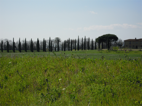
Eine schöne Tour, um die Landschaft der Toskana mit dem Fahrrad zu erleben. Die Strecke führt auf dem Hinweg am Rand eines Gebirgszuges entlang und ist dementsprechend hügelig. Auf einigen Strecken ist der Autoverkehr störend. Dafür wird man mit einem herrlichen Blick auf Vinci entschädigt. Der Rückweg führt etwas weiter westlich auf überwiegend ebenen Strecken, die außerdem weniger befahren sind. Auch die Einfahrt nach Montecatini führt durch ruhigere Straßen.
Galeria trasy


Mapa trasy i profil wysokości
Minimum height 15 m
Maximum height 74 m
More about the tour author

|
Timminf |
Komentarze
Vom Zentrum in Montecatini Terme muss man die Ausfallstraße in Richtung Gallo wählen. Nicht durch die Kreisel und die vielen Autos abschrecken lassen! Sobald man die Autobahn unterfahren hat wird es ruhiger.
GPS tracks
Trackpoints-
GPX / Garmin Map Source (gpx) download
-
TCX / Garmin Training Center® (tcx) download
-
CRS / Garmin Training Center® (crs) download
-
Google Earth (kml) download
-
G7ToWin (g7t) download
-
TTQV (trk) download
-
Overlay (ovl) download
-
Fugawi (txt) download
-
Kompass (DAV) Track (tk) download
-
Karta trasy (pdf) download
-
Original file of the author (gpx) download
More about the tour author
|
|
Timminf |
Add to my favorites
Remove from my favorites
Edit tags
Open track
My score
Rate
radroute Toscana