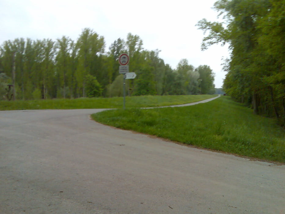
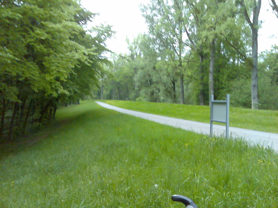
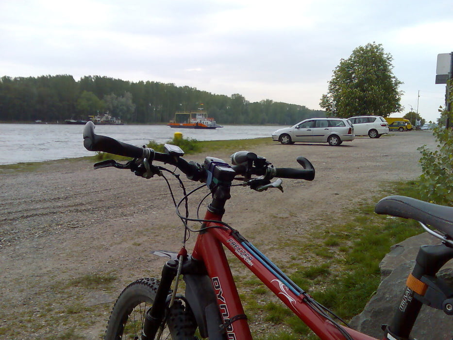
Von Karlsruhe geht es erst mal durch die Stadt und weiter durch den Stadtwald beim Schloß zur Veloroute Rhein durch das Naturschutzgebiet nach Germersheim über die Brücke und auf der anderen Seite des Rhein wieder über Wörth zurück nach Karlsruhe.
Wem die Strecke zu lange ist der kann auch bei Leimersheim die Fähre nehmen, das verkürzt die Strecke um ca.30km.
Galeria trasy
Mapa trasy i profil wysokości
Minimum height 34 m
Maximum height 171 m
Komentarze

Karlsruhe Hbf Südausgang
GPS tracks
Trackpoints-
GPX / Garmin Map Source (gpx) download
-
TCX / Garmin Training Center® (tcx) download
-
CRS / Garmin Training Center® (crs) download
-
Google Earth (kml) download
-
G7ToWin (g7t) download
-
TTQV (trk) download
-
Overlay (ovl) download
-
Fugawi (txt) download
-
Kompass (DAV) Track (tk) download
-
Karta trasy (pdf) download
-
Original file of the author (gpx) download
Add to my favorites
Remove from my favorites
Edit tags
Open track
My score
Rate


