Login

Zapomniałeś swój login?

Cookies have to be accepted!
Your browser's cookie functionality is disabled. Please enable this functionality.

Not a member yet?

Register now
Login

Available for registred users only

Log in to use this feature.

Zapomniałeś swój login?

Cookies have to be accepted!
Your browser's cookie functionality is disabled. Please enable this functionality.

Not a member yet?

Register now
Filter
Kategorie
Advanced filters
  • Długość (km)
  • Wysokość
Zapisz filtr Reset filter

TrackRank

QRCode

Technical data

Długość26,8 km Wysokość416 m Way down442 m Czas trwania01:20 h:m Data05.05.2010
Oceny Author Krajobraz Czynnik zadowolenia Kondycja Technika

Statystyka

253 Widoki Oceny 28 Downloads / Pliki do pobrania Przeciętnie
Rate
  • Karta trasy
  • Dojazd
  • Downloads / Pliki do pobrania

Die zweite Kleine Feierabendtour 4 während einer Geschäftsreise in Bad Ems


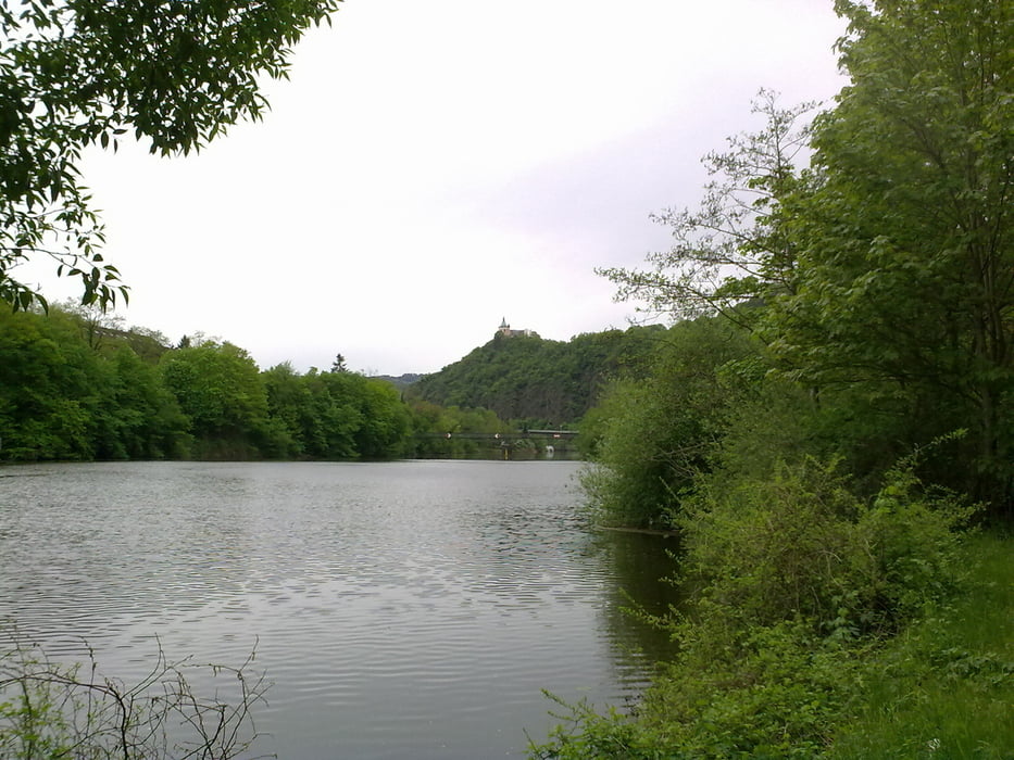
Los geht wieder vom Hotel aus und dann ab Strom abwärts der Lahn, bis zum zur Rheinmündung und wieder zurück. Die Landschaft hier ist der Knaller ;-)


Further information at

http://www.bad-ems.info/

Galeria trasy

Mapa trasy i profil wysokości

  • Open Street Map
  • Google
Minimum height 85 m Maximum height 152 m Widok szczegółowy

More about the tour author

raffnix_und_crusoe
Member since 2010

Send private message

Komentarze

Aktivhotel Alter Kaiser
Koblenzer Straße 36
56130 Bad Ems
02603 9408-0
 

GPS tracks

Trackpoints
  • GPX / Garmin Map Source (gpx) download
  • TCX / Garmin Training Center® (tcx) download
  • CRS / Garmin Training Center® (crs) download
  • Google Earth (kml) download
  • G7ToWin (g7t) download
  • TTQV (trk) download
  • Overlay (ovl) download
  • Fugawi (txt) download
  • Kompass (DAV) Track (tk) download
  • Karta trasy (pdf) download
  • Original file of the author (gpx) download

More about the tour author

raffnix_und_crusoe
Member since 2010

Send private message
Share track
Add to my favorites
Remove from my favorites
Edit tags
My score
Rate
Trasa: Feierabendtour 4 Bad Ems Lahntal
Rodzaj: Rower górski (MTB)
Długość: 26,8 km
Evaluated on:
Czas trwania:
Day(s)
Hour(s)
Minute(s)
Ocena: Krajobraz Czynnik zadowolenia Kondycja Technika