


Das nenne ich eine tolle Runde.
Die hat alles drin was einen am Abend interessiert.
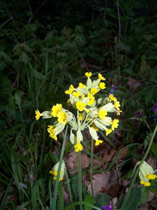
Absolut schöne Wege. Ein absolut schöner Berg mit steilem Anstieg, schöner Aussicht und ebenso steilem Abstieg. Der Weg ist etwas spannender wenn die Variante über die Felsen genommen wird.
Und kurz nach der Halbzeit stosse ich noch auf die Reste eines absolut finsteren KZ Lagers mit Gedenkstätte. Die Besichtigung ist sehr beeindruckend und fordert zum Nachdenken auf.
Ich empfinde es als Schande dass eine solch schöne Gegend durch solche Untaten entehrt wurde. Nie wieder soll das vergessen werden.
Gut, ich empfinde DDR Gedenktafeln als unpassend. Es ändert nichts an der Tatsache das die hier verübten Verbrechen unentschuldbar sind.
Further information at
http://de.wikipedia.org/wiki/KZ_Langenstein-ZwiebergeGaleria trasy


Mapa trasy i profil wysokości
Minimum height 135 m
Maximum height 293 m
More about the tour author
|
|
Pheinz |
Komentarze

Am Ortsende von Langenstein ist ein kleiner Parkplatz
GPS tracks
Trackpoints-
GPX / Garmin Map Source (gpx) download
-
TCX / Garmin Training Center® (tcx) download
-
CRS / Garmin Training Center® (crs) download
-
Google Earth (kml) download
-
G7ToWin (g7t) download
-
TTQV (trk) download
-
Overlay (ovl) download
-
Fugawi (txt) download
-
Kompass (DAV) Track (tk) download
-
Karta trasy (pdf) download
-
Original file of the author (gpx) download
More about the tour author
|
|
Pheinz |
Add to my favorites
Remove from my favorites
Edit tags
Open track
My score
Rate