Login

Zapomniałeś swój login?

Cookies have to be accepted!
Your browser's cookie functionality is disabled. Please enable this functionality.

Not a member yet?

Register now
Login

Available for registred users only

Log in to use this feature.

Zapomniałeś swój login?

Cookies have to be accepted!
Your browser's cookie functionality is disabled. Please enable this functionality.

Not a member yet?

Register now
Filter
Kategorie
Advanced filters
  • Długość (km)
  • Wysokość
Zapisz filtr Reset filter

TrackRank

QRCode

Technical data

Długość19,9 km Wysokość517 m Way down559 m Czas trwania02:30 h:m Data09.05.2010
Oceny Author User Krajobraz Czynnik zadowolenia Kondycja Technika

Statystyka

1514 Widoki 1 Ocena 195 Downloads / Pliki do pobrania 4.00 Przeciętnie
Rate
  • Karta trasy
  • Dojazd
  • Downloads / Pliki do pobrania

Beuren - Burg Hohenneuffen - Albtrauf entlang zur Neuffener Steige (Parkplatz) - Albtrauf entlang zur Karlslinde - Schillingskreuz - Hörnle - Neuffen - Wanderparkplatz Schelmenwasen - Beuren
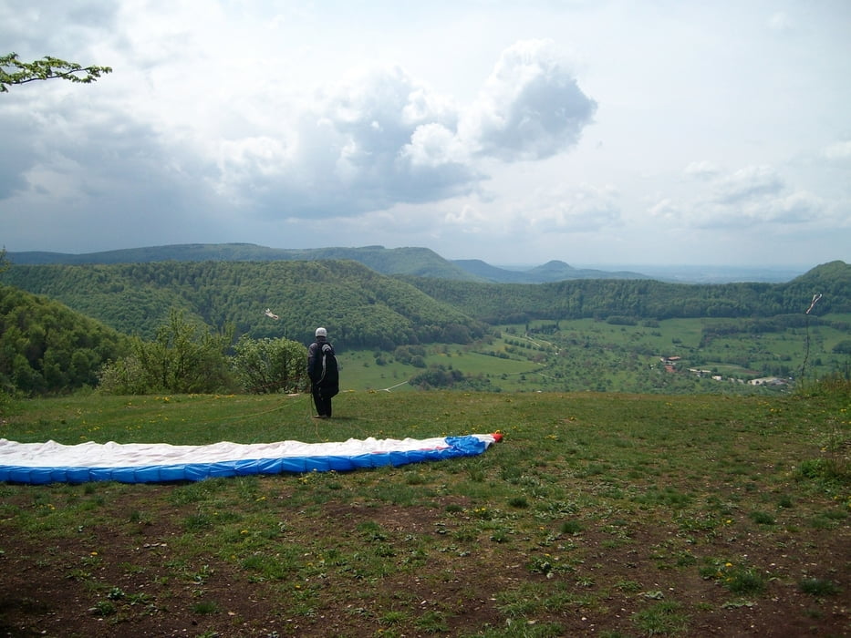
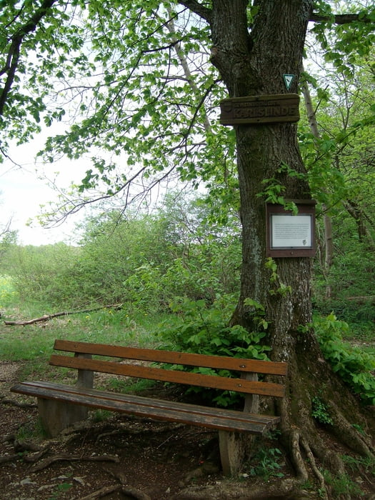
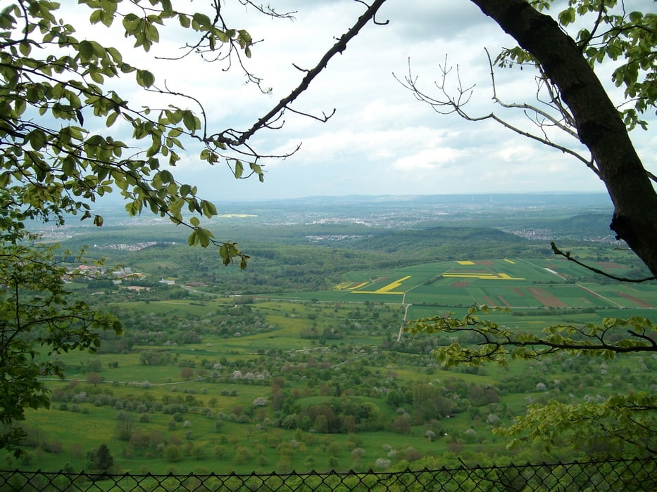
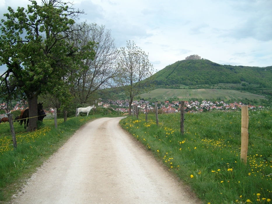
Galeria trasy

Mapa trasy i profil wysokości

  • Open Street Map
  • Google
Minimum height 421 m Maximum height 730 m Widok szczegółowy

More about the tour author

Andi_85
Member since 2010

Send private message

Komentarze

Flo L on 15.06.2010

Danke

Bin die Tour gestern gefahren. Sehr empfehlenswert. Leider war es bei den schmierigen Bedingungen nicht ganz einfach weil sehr rutschig. Komme wieder sobald es trocken ist.

Vielen Dank fürs Einstellen, top.

Tipp: Zwei Wegpunkte setzen bei Km 8,4 und 13,4 ;-)

GPS tracks

Trackpoints
  • GPX / Garmin Map Source (gpx) download
  • TCX / Garmin Training Center® (tcx) download
  • CRS / Garmin Training Center® (crs) download
  • Google Earth (kml) download
  • G7ToWin (g7t) download
  • TTQV (trk) download
  • Overlay (ovl) download
  • Fugawi (txt) download
  • Kompass (DAV) Track (tk) download
  • Karta trasy (pdf) download
  • Original file of the author (gpx) download

More about the tour author

Andi_85
Member since 2010

Send private message
Share track
Add to my favorites
Remove from my favorites
Edit tags
My score
Rate
Trasa: Mountainbike-Tour rund um Neuffen
Rodzaj: Rower górski (MTB)
Długość: 19,9 km
Evaluated on:
Czas trwania:
Day(s)
Hour(s)
Minute(s)
Ocena: Krajobraz Czynnik zadowolenia Kondycja Technika