


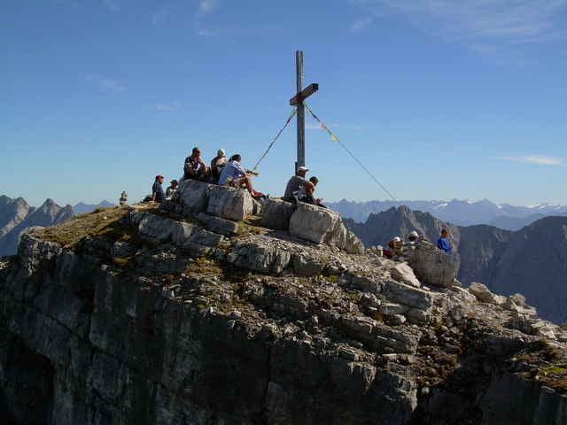
Sehr schöne Tagesbergtour von Bschlabs auf die Wetterspitze und Abstieg mit einigen Gegenanstiegen über die Anhalter Hütte zum Hantenjoch (ca. 15 km). Vom Hantenjoch zurück nach Bschlabs mit dem Rad, das wir morgens dort abgestellt haben, oder per Anhalter kommt man eigentlich gut zurück (ca. 10 km).
Die Höhenmeterangaben sind etwas widersprüchlich, laut GPS ca. 2100hm und nach HAC 4 ca. 1750hm
Die Höhenmeterangaben sind etwas widersprüchlich, laut GPS ca. 2100hm und nach HAC 4 ca. 1750hm
Galeria trasy
Mapa trasy i profil wysokości
Minimum height 1301 m
Maximum height 2560 m
More about the tour author

|
Inazone |
Komentarze

Von Reutte in Richtung Warth, kurz nach Elmen links abbiegen Richtung Hantenjoch. In Bschlabs nähe der Kirche ist der Parkplatz.
GPS tracks
Trackpoints-
GPX / Garmin Map Source (gpx) download
-
TCX / Garmin Training Center® (tcx) download
-
CRS / Garmin Training Center® (crs) download
-
Google Earth (kml) download
-
G7ToWin (g7t) download
-
TTQV (trk) download
-
Overlay (ovl) download
-
Fugawi (txt) download
-
Kompass (DAV) Track (tk) download
-
Karta trasy (pdf) download
-
Original file of the author (g7t) download
More about the tour author
|
|
Inazone |
Add to my favorites
Remove from my favorites
Edit tags
Open track
My score
Rate